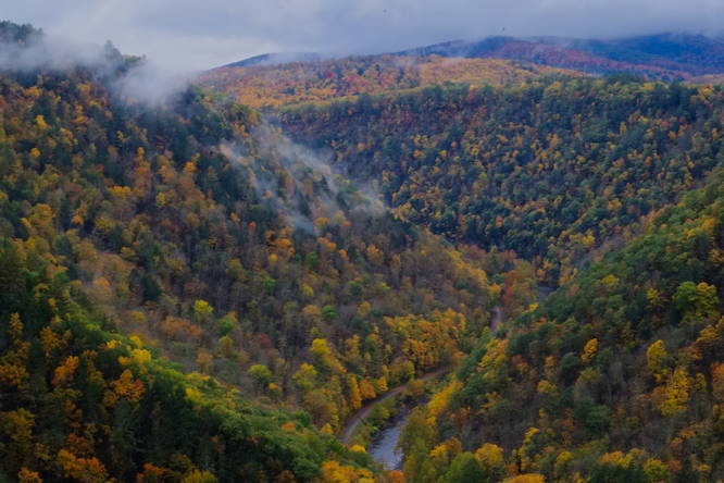
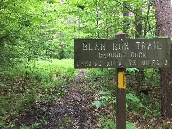
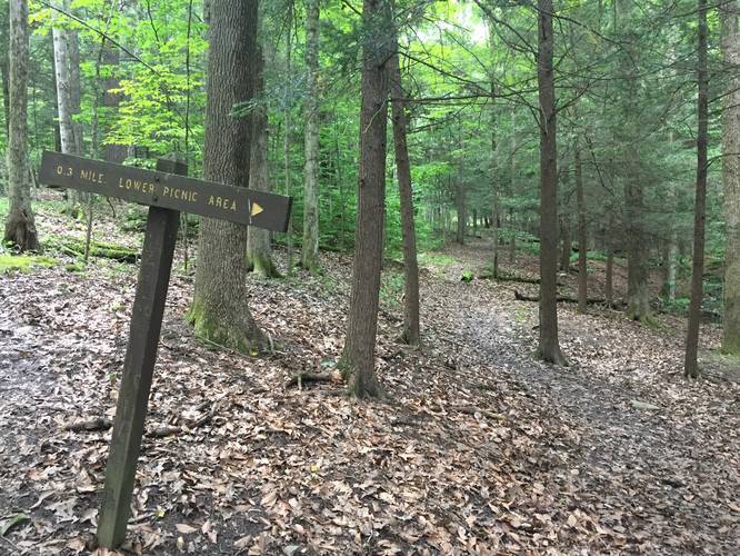
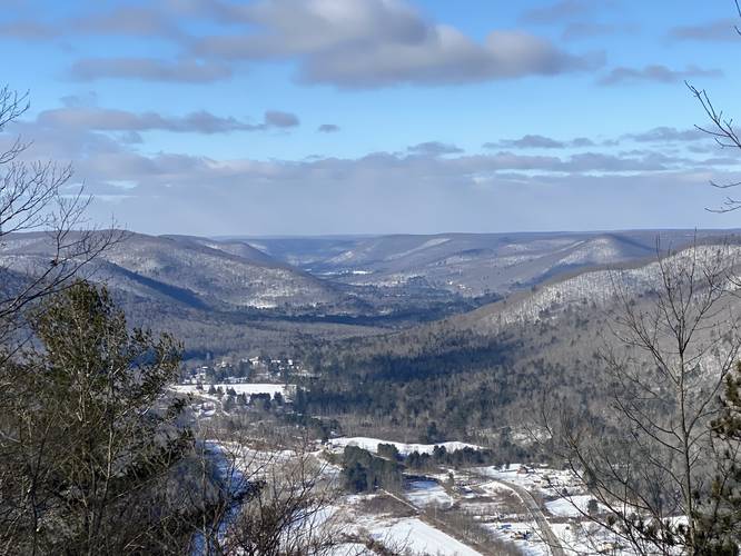
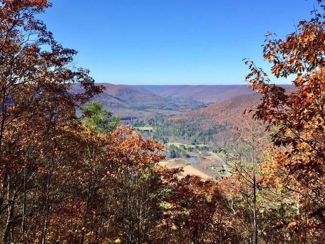
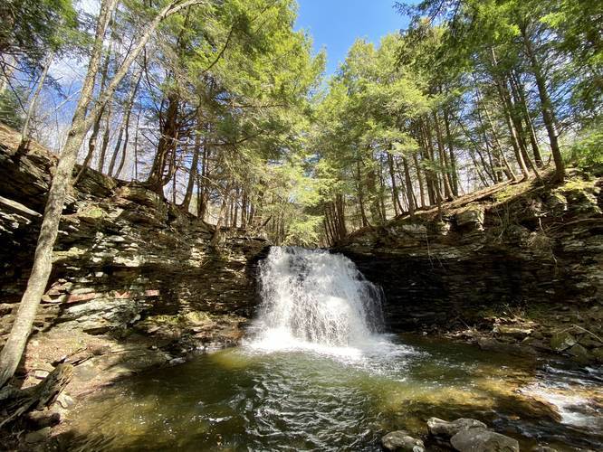
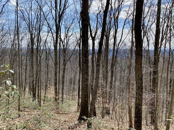
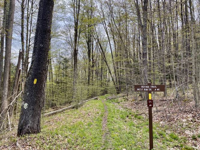
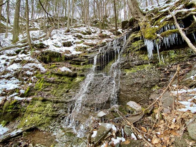
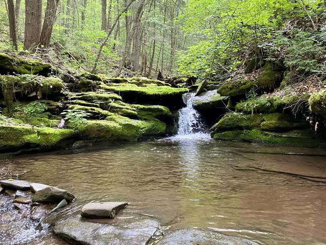
Loading...

Trails in Wellsboro, Pennsylvania

Browse 58 hiking trails with 185 miles (298 km) to hike and explore in Wellsboro, Pennsylvania. Use our trail maps, elevation charts, pictures, and get directions to the trailhead to plan your next hike!
Trails in PennsylvaniaTrails near Wellsboro, Pennsylvania
Leonard Harrison Main Lookout Trail
0.3 Miles
0.5 km
Easy
Out-and-Back
Turkey Path
2.2 Miles
3.5 km
Hard
Out-and-Back
Rim Trail
1.5 Miles
2.4 km
Easy
Loop
Barbour Rock Trail
1 Mile
1.6 km
Moderate
Loop
Barbour Rock Accessible Trail
1.3 Miles
2.1 km
Easy
Out-and-Back
Bear Run Trail
0.8 Miles
1.3 km
Easy
One-Way
Turkey Path
2.7 Miles
4.3 km
Hard
Out-and-Back
Overlook Loop Trail
0.8 Miles
1.3 km
Moderate
Loop
Picnic Area Trail
0.4 Miles
0.6 km
Easy
Out-and-Back
Leonard Harrison Service Road Trail
0.1 Miles
0.2 km
Easy
One-Way
Lakeside Trail
3.3 Miles
5.3 km
Easy
Loop
Yellow Birch Trail
0.6 Miles
1 km
Easy
Loop
Tauschers Loop Trail
1.4 Miles
2.3 km
Easy
Loop
Mt. Tom Loop
3.6 Miles
5.8 km
Strenuous
Loop
West Rim Trail
31 Miles
49.9 km
Strenuous
One-Way
Mt. Tom Service Road to Vista Trail
4.5 Miles
7.2 km
Hard
Out-and-Back
Bear Run Trail Waterfalls
1.9 Miles
3.1 km
Easy
Out-and-Back
Sand Run Falls Trail
6.9 Miles
11.1 km
Moderate
Loop
Sand Run Falls Hike
3.5 Miles
5.6 km
Easy
Out-and-Back
Bee Tree Hollow Trail
5 Miles
8 km
Moderate
Out-and-Back
Cavanaugh Nature Trail
0.6 Miles
1 km
Easy
Loop
Wetlands Trail
0.2 Miles
0.3 km
Easy
Out-and-Back
Left Steele Run Trail
3 Miles
4.8 km
Hard
Out-and-Back
Chimney Hollow Falls
0.3 Miles
0.5 km
Moderate
Out-and-Back
Hessel Gessel Trail
2.9 Miles
4.7 km
Easy
Out-and-Back
Burdic Run Falls Trail
0.8 Miles
1.3 km
Moderate
Out-and-Back
Refuge Trail
0.7 Miles
1.1 km
Easy
Out-and-Back
Nickel Run Falls and Nessmuk's Winter Camp
5.8 Miles
9.3 km
Hard
Out-and-Back
Darling Run Falls
1.7 Miles
2.7 km
Moderate
Out-and-Back
Mt. Nessmuk
6.3 Miles
10.1 km
Moderate
Out-and-Back
Bear Run Falls Loop
0.7 Miles
1.1 km
Moderate
Loop
Jax's Vista
1.2 Miles
1.9 km
Moderate
Out-and-Back
Little Jax Rock Overlook
1.3 Miles
2.1 km
Moderate
Out-and-Back
Rattlesnake and Babb Creek Falls
4.2 Miles
6.8 km
Moderate
Out-and-Back
Barbour Rock Road Trail
1.4 Miles
2.3 km
Moderate
Out-and-Back
School House Hollow Trail
3.1 Miles
5 km
Strenuous
Out-and-Back
Oak Point Mountain Trail
4.3 Miles
6.9 km
Moderate
Out-and-Back
Cass Trail to Wellsboro Overlook
1.3 Miles
2.1 km
Strenuous
Out-and-Back
Chimney Hollow Falls Winter Hike
4 Miles
6.4 km
Hard
Out-and-Back
Old Flat Top Falls
1.2 Miles
1.9 km
Easy
Out-and-Back
Silver Run Falls
0.6 Miles
1 km
Hard
Out-and-Back
Campbell Run Falls Hike
2 Miles
3.2 km
Moderate
Out-and-Back
Snyder Point Vista Trail
2.3 Miles
3.7 km
Moderate
Loop
Oak Ridge Trail
4 Miles
6.4 km
Easy
Out-and-Back
Pinafore Falls
4.1 Miles
6.6 km
Moderate
Out-and-Back
Pinafore Run Trail to East Rim Vista
5.7 Miles
9.2 km
Hard
Out-and-Back
Mt. Tom Falls
0.8 Miles
1.3 km
Moderate
Out-and-Back
Double Drainage Falls
2.9 Miles
4.7 km
Moderate
Out-and-Back
Canada Run Vista
2.2 Miles
3.5 km
Easy
Out-and-Back
Red Ledge Scramble
4.3 Miles
6.9 km
Strenuous
Out-and-Back
Amphitheater Falls
2.1 Miles
3.4 km
Moderate
Out-and-Back
Four-Mile Vista
0 Miles
0 km
Easy
Out-and-Back
Matson Spring Falls
0.2 Miles
0.3 km
Hard
Out-and-Back
Mt. Nessmuk Loop
6.3 Miles
10.1 km
Hard
Loop
Haunted Mine Falls
0.1 Miles
0.2 km
Easy
Out-and-Back
MyHikes Falls and Nessmuk's Rocks
7.5 Miles
12.1 km
Hard
Out-and-Back
Broad Ridge & Waterfalls Hike
6.6 Miles
10.6 km
Hard
Out-and-Back
Green Monster Trail
15.9 Miles
25.6 km
Strenuous
Loop
Loading...

Before you leave...

MyHikes is an indie web platform aimed to make exploring public trails easier for everyone. The site has no investors and is owned and operated by one person, Dave Miller (Founder & Admin). As the Founder, main contributor, and doer-of-all-things for MyHikes, I share my trips with over-detailed write-ups for fun on a volunteer basis and I believe that public trail information should be available to everyone.

It takes a lot of time 🕦, money 💰, and effort (including espresso shots ☕) to run MyHikes, including hiking , mapping , writing , and publishing new trails with high-quality content... along with building new features, moderating, site maintainance, and app development for iOS and Android . I simply ask that if you find MyHikes' trail guides helpful to please consider becoming a Supporter to help keep the site, iOS, and Android apps available to everyone.

Supporters unlock website and in-app perks with a one-time payment of $25 (you renew) 😎👍. Or you can simply make a Donation of your choice without a MyHikes user account. Otherwise, telling your friends about MyHikes is the next-best thing - both quick and free 🎉

Thanks for visiting MyHikes and have a great hike!️

Admin user profile picture

Dave Miller
MyHikes Founder & Admin

Showing 1 to 58 of 58 Trails