Supporter Upgrade
MyHikes is a solo-developed, independent platform built by hikers for hikers — owned and operated by Dave Miller. Become a Supporter today to unlock exclusive perks and help our growth!
Free 7-Day Trial
Claim your free 7-Day trial to explore everything MyHikes has to offer. No cost, no payment method required.
Annual Supporter
Unlock exclusive website and app perks to explore hiking trails with higher confidence and support a solo-developed platform.
USD $25 / year
App Perks:
Website Perks:
Why Support Us?
Independently Owned
Community-Driven
Download Trail Routes to the MyHikes App
Bring our trails on your hike by sending up to 50 Trail routes* with points-of-interest (POI) directly to the MyHikes app.
*Routes are just the GPS track and do not include trail notes.
Download Park Routes to the MyHikes App
Bring our Park routes* on your hike by sending up to 10 Parks with points-of-interest (POI) directly to the MyHikes app.
*Routes are just the GPS track with points-of-interest and do not include trail notes, difficulty ratings, or hazards.
Store more than 5 hikes
Store an unlimited number of recorded hikes in the MyHikes app without having to clear up space.
Download Offline Map Regions
Download map regions in-app for offline navigation, especially useful for areas with no cell service.
Import more than 1 GPX File
Import more than one GPX file into the MyHikes app, allowing for more offline exploration opportunities.
Better Maps
Trail Drawing
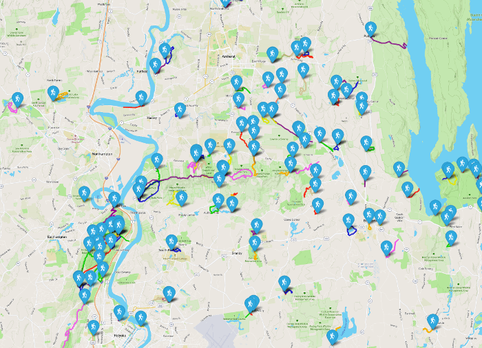
Supporters can zoom into trail search maps to load each trail to help plan your hike.
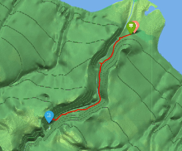
Shaded Relief Tiles
Use our extra map styles, like Shaded Relief tiles (shown below) in trail and park maps to understand the landscape better.
Profile Badge
MyHikes Supporters help pay our server fees and help us add new trails each year. To show our thanks, Supporter Accounts display Supporter badge across the site.