Jax's Vista at Tioga State Forest near Wellsboro, Pennsylvania is a moderate 1.2-mile out-and-back hike that leads to the vista point, Jax's Vista.
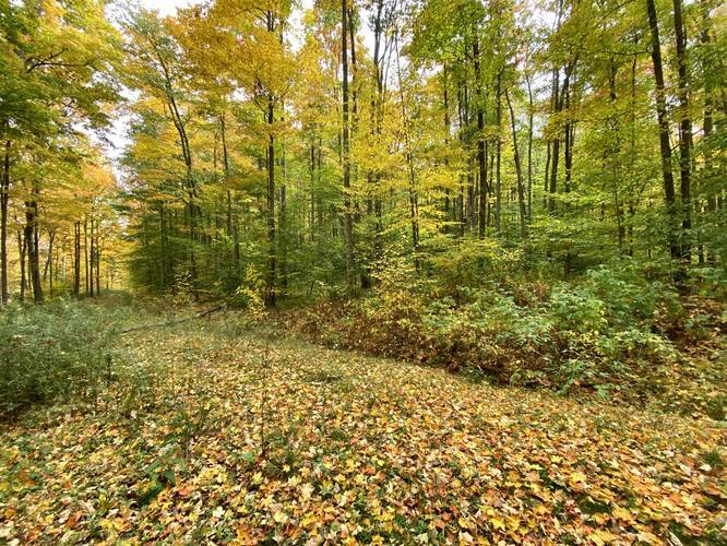
This short hike follows both the West Rim Trail and an old logging path that cuts through the forest at the top of the neighboring mountain. Hikers will begin along Colton Point Road by following the WRT, heading south, located across from the Rexford Trail trailhead. The hike up this mountain is not very long, but the elevation grade is moderate so expect to sweat by the time you make it to the top of the hill. Some hikers may find the climb more difficult than moderate depending on your skill level.
Reaching Jax's Vista
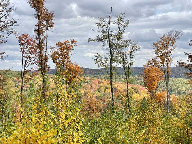
Once at the top of the mountain / hill, hikers will find an old logging road that cuts across the orange-blazed West Rim Trail. Take a left-hand turn here to follow the logging trail approximately 0.2-miles to reach the vista point, Jax's Vista. The view is not spectacular, but it's a quiet section of Tioga State Forest that most folks never visit, which is perfect for me (Admin) and my dog, Jax. This vista was created by forestry logging, so someday it'll be taken back by nature unless someone maintains a section of this vista going further.
Parking
Hikers will find a small parking turnout alongside the eastern trailhead for the Rexford Trail. Do not block the driveable trail or road. There's only enough space for about two vehicles, but this spot is not very popular so folks often don't park here.
Pets
Dogs are allowed if leashed, hence Jax's Vista!
Blaze Colors
Hikers will follow orange blazes along the WRT and no blazes along the logging path.
This short hike follows both the West Rim Trail and an old logging path that cuts through the forest at the top of the neighboring mountain. Hikers will begin along Colton Point Road by following the WRT, heading south, located across from the Rexford Trail trailhead. The hike up this mountain is not very long, but the elevation grade is moderate so expect to sweat by the time you make it to the top of the hill. Some hikers may find the climb more difficult than moderate depending on your skill level.
Reaching Jax's Vista
Once at the top of the mountain / hill, hikers will find an old logging road that cuts across the orange-blazed West Rim Trail. Take a left-hand turn here to follow the logging trail approximately 0.2-miles to reach the vista point, Jax's Vista. The view is not spectacular, but it's a quiet section of Tioga State Forest that most folks never visit, which is perfect for me (Admin) and my dog, Jax. This vista was created by forestry logging, so someday it'll be taken back by nature unless someone maintains a section of this vista going further.
Parking
Hikers will find a small parking turnout alongside the eastern trailhead for the Rexford Trail. Do not block the driveable trail or road. There's only enough space for about two vehicles, but this spot is not very popular so folks often don't park here.
Pets
Dogs are allowed if leashed, hence Jax's Vista!
Blaze Colors
Hikers will follow orange blazes along the WRT and no blazes along the logging path.