The Pine Creek Trail (Wellsboro Extension) in Wellsboro, Pennsylvania is an easy 6.0-mile out-and-back trail that connects Wellsboro center to Wellsboro Junction.
Officially opening on October 17th, 2025, this trail guide leads walkers, visitors, and bikers alike from the center of Wellsboro along the historic railroad bed to reach the continuation of the Pine Creek Trail in Wellsboro Junction.
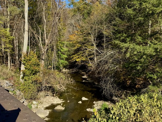
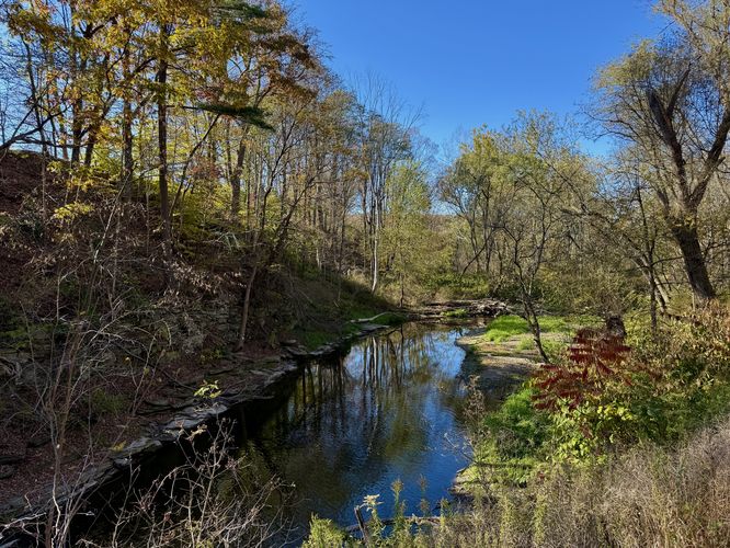
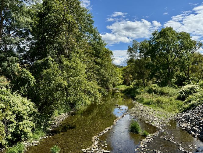
From the Wellsboro trailhead, the Pine Creek Trail runs northwest as it follows an old railroad bed, passing alongside shale bedrock cliffs before reaching several bridge crossings that span Marsh Creek. The trail follows a flat gravel substrate which changes to concrete and asphalt along each bridge crossing. Located along the Marsh Creek bridges are views of the water as it flows toward Pine Creek below your feet and provides scenic views along the trail, especially during autumn when the surrounding forest is full of colorful foliage.
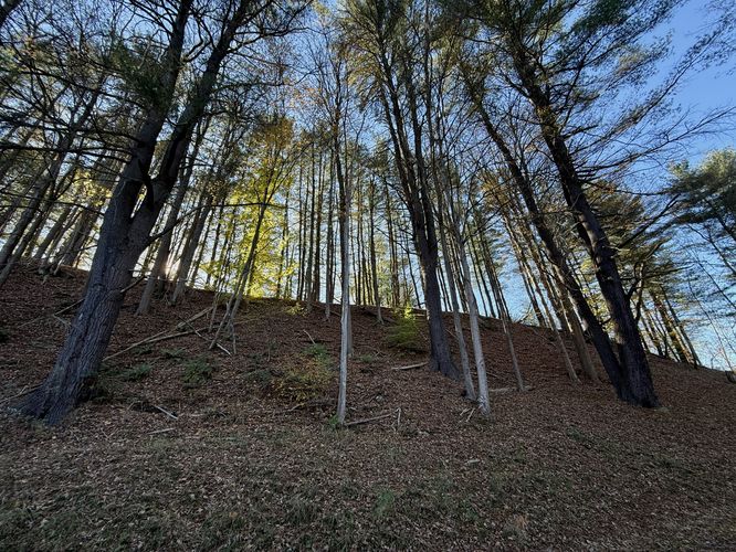
The trail eventually passes an old-growth eastern white pine stand, located near mile 0.9 with at least three large old growth trees sitting on a hill to the west of the trail. Beyond the old-growth stand, the trail passes private residences as it runs adjacent to Marsh Creek before reaching Hilboldt Road around mile 2.4.
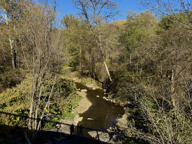
Crossing Hilboldt Road, the Pine Creek Trail continues heading toward Wellsboro Junction as it runs along more private residences. Near 2.1 is one more bridge that spans Marsh Creek where you'll find more scenic views of the water.
Once you've reached Wellsboro Junction, you can find snacks, drinks, sandwiches, and ice cream at Pag-Omar Farms Market, which is a great place to take a break before walking back to Wellsboro.
Additional parking can be found along Hilboldt Road at these coordinates: 41.768237,-77.304248. Or at the main Pine Creek Trail continuation in Wellsboro Junction at these coordinates: 41.788672,-77.30941
Lack of water: Despite the brand new building at the trailhead in the center of Wellsboro, as of October 2025, there appears to be no public water sources along the trail. Bring a water bottle especially if you plan to walk your dog here during warm months due to the over-exposed trail.
Officially opening on October 17th, 2025, this trail guide leads walkers, visitors, and bikers alike from the center of Wellsboro along the historic railroad bed to reach the continuation of the Pine Creek Trail in Wellsboro Junction.
Walk Wellsboro Center to Wellsboro Junction
This walk begins at the old train station in Wellsboro center, located along the north side of Charleston Road. You'll find the trailhead located near the old train station along with a universally-accessible trailhead located along Tioga Street which crosses the Charleston Street Connector Bridge as a separate entrance.From the Wellsboro trailhead, the Pine Creek Trail runs northwest as it follows an old railroad bed, passing alongside shale bedrock cliffs before reaching several bridge crossings that span Marsh Creek. The trail follows a flat gravel substrate which changes to concrete and asphalt along each bridge crossing. Located along the Marsh Creek bridges are views of the water as it flows toward Pine Creek below your feet and provides scenic views along the trail, especially during autumn when the surrounding forest is full of colorful foliage.
The trail eventually passes an old-growth eastern white pine stand, located near mile 0.9 with at least three large old growth trees sitting on a hill to the west of the trail. Beyond the old-growth stand, the trail passes private residences as it runs adjacent to Marsh Creek before reaching Hilboldt Road around mile 2.4.
Crossing Hilboldt Road, the Pine Creek Trail continues heading toward Wellsboro Junction as it runs along more private residences. Near 2.1 is one more bridge that spans Marsh Creek where you'll find more scenic views of the water.
Wellsboro Junction & Marsh Creek Valley Views - Mile 2.6 to 3
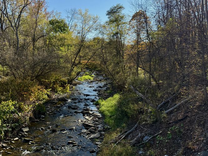
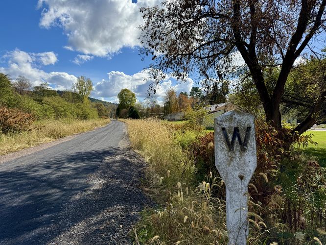
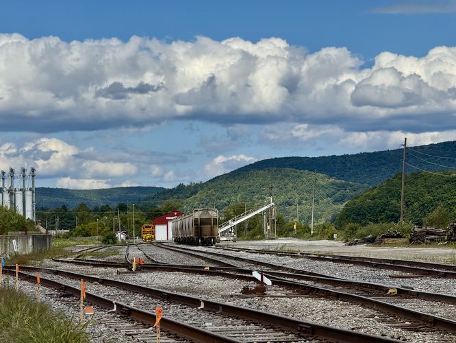
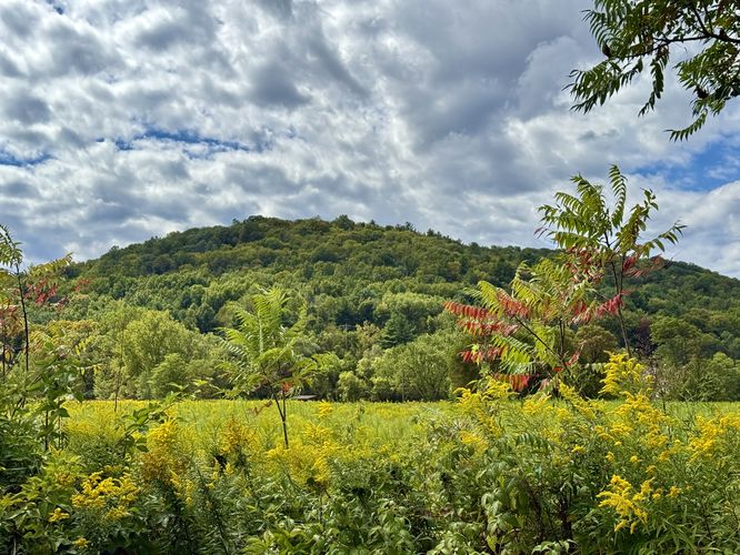
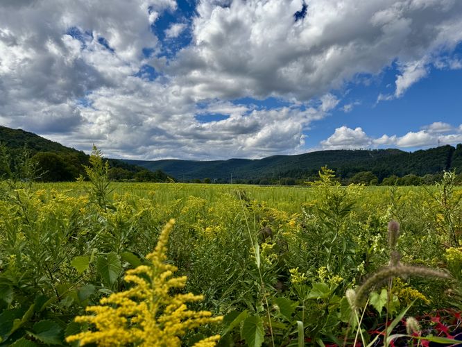
After the trail crosses the last Marsh Creek bridge around mile 2.1, the trail leads into Wellsboro Junction where the scenery opens up to wider views of the mountains that surround the Marsh Creek valley. Here, you'll also find railroad tracks and train cars that are still operating today, which are primarily used for the fracking industry. Stay on-trail here as the land located just off of the trail is privately owned. Eventually, the Pine Creek Trail curves a large bend through Wellsboro Junction and crosses PA-287. Watch for traffic as you cross the road to reach the continuation of the Pine Creek Trail as it leads south for approximately 60-miles through the Marsh Creek valley and eventually Pine Creek Gorge (Grand Canyon of PA) to reach the Jersey Shore area of Pennsylvania.Once you've reached Wellsboro Junction, you can find snacks, drinks, sandwiches, and ice cream at Pag-Omar Farms Market, which is a great place to take a break before walking back to Wellsboro.
Pine Creek Trail, Wellsboro Junction to Wellsboro - Mile 3 to 6
The walk back to parking heads uphill for most of the walk back into town, but it follows a very easy grade. Along the way back you can enjoy views of Marsh Creek once more before wrapping up the 6-mile walk at the trailhead.Parking
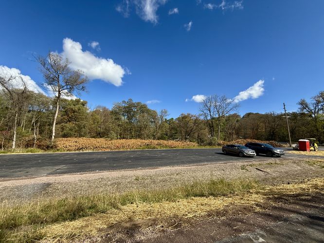
As of September 2025, the parking lot located at the main trailhead is open and available for the public to use. The lot is large enough to fit several dozen vehicles.Additional parking can be found along Hilboldt Road at these coordinates: 41.768237,-77.304248. Or at the main Pine Creek Trail continuation in Wellsboro Junction at these coordinates: 41.788672,-77.30941
Universal Access
The Wellsboro Extension of the Pine Creek Trail is universally accessible, but as of October 2024 the only accessible entrance to the trail is located along Tioga Street. You'll find a sidewalk with a paved surface that leads up to the Charleston Street Connector Bridge which is fully accessible. The paved surface then changes to a crushed gravel substrate to follow the Pine Creek Trail northbound.Pets
Dogs are allowed only if leashed and must be cleaned up after.Warning
Exposure: The Pine Creek Trail follows an old railroad bed and it's not very well shaded. Bring plenty of water.Lack of water: Despite the brand new building at the trailhead in the center of Wellsboro, as of October 2025, there appears to be no public water sources along the trail. Bring a water bottle especially if you plan to walk your dog here during warm months due to the over-exposed trail.