The Oak Point Mountain Trail at Tioga State Forest in Wellsboro, Pennsylvania is a moderate 4.3-mile out-and-back trail that runs atop Oak Point mountain and features a bushwhack hike out to a Timber Rattlesnake vista.
Trails
Please note that none of the trails along this recorded track have trailhead signs or blazes along them as of late December 2020 when I first explored this trail. When returning on March 10, 2022 nothing had changed, so bring an offline mapping app or at least a physical map. The main route that runs to the fork in the trail (see notes below) is a service road called the Matson Trail. Despite the trail name, it's unclear where the Matson Trail ends so my unofficial name for the trail is the Oak Point Mountain Trail since it runs the entire length of the mountain.
Trail Description
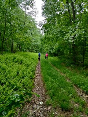
I originally mapped this trail after hiking up the School House Hollow Trail in 2020; however, hikers can get to this trailhead the junction of Matson Road and the Oak Ridge Trail. From the trailhead, the Matson Trail heads south following a flat grade for a large majority of the hike.
School House Hollow Trail Junction - Mile 0.6
After hiking down the trail for about 0.6-miles, hikers will reach a junction with the School House Hollow Trail and the Matson Trail.
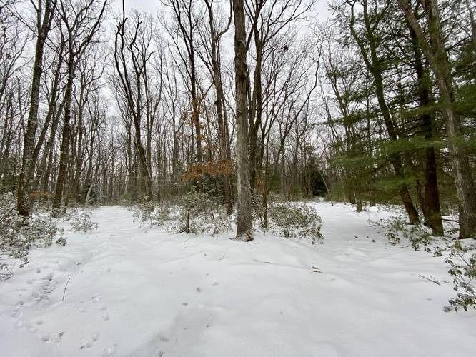
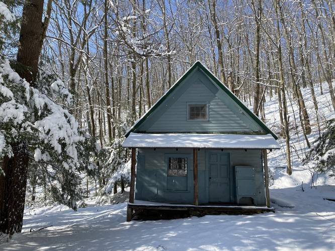
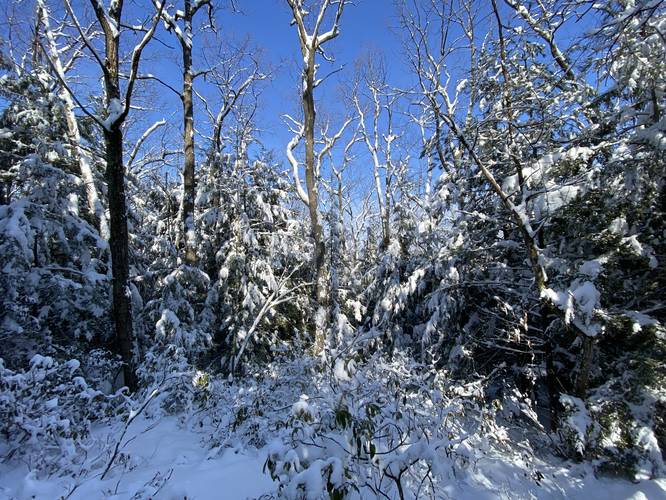
After passing the School House Hollow Trail the trail continues heading due south along a flat grade - passing the summit of Oak Point Mountain to the east - before reaching a fork in the trail. At the fork, stay right to continue along this mapped route, which eventually heads down the mountain. If you take a left-hand turn this trail does link back to the first junction at mile 0.6 via the Fuller Hollow Trail. Continuing to the right-hand side of the fork, the forest turns into mostly conifers and pines - hiking along and under what looked like mostly Hemlock trees. This section of trail is beautiful during the winter with snow. There's at least one very small break in the trees along this section with an obstructed view of what appears to be Mount Nessmuk next door.
Bushwhack to Rattlesnake Vista - Mile 1.35
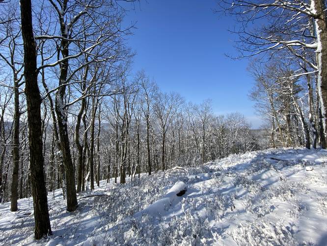
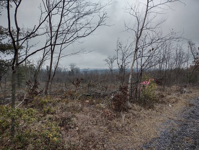
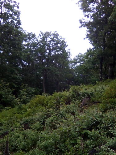
Around mile 1.35, if hikers wish to visit a rattlesnake habitat, they can follow the rest of this GPS track - leading through a bushwhack of mountain laurel - out to where Timber Rattlesnakes likely call a rocky outcropping their home. This section of the hike should only be attempted during cold months when rattlesnakes are in their dens and should ideally be avoided between the months of May - October. During this cold winter hike, we were hoping to find a nice vista, but instead found a clearcut area for rattlesnakes to sunbathe in addition to some rocky outcroppings where the Timber Rattlesnakes likely den.
Hiking Out
If you decide not to bushwhack to the rattlesnake den area, then this hike is an easy 2.7-mile out-and-back hike; however, the addition to the rattlesnake vista the hike is closer to 4.3-miles out-and-back for a more moderate hike.
Obstructed Views
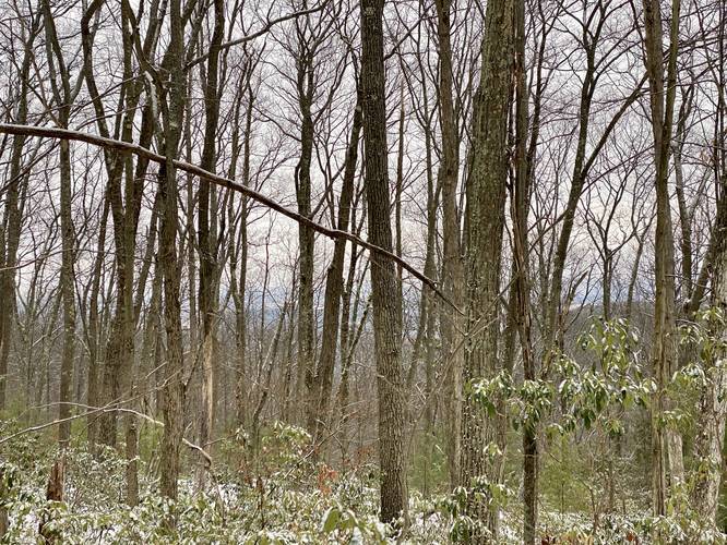
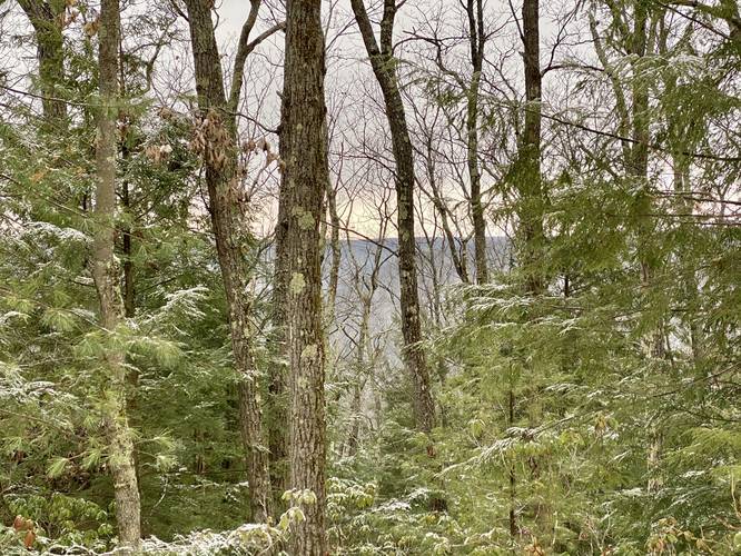
Please note that there are really no views on this trail and I only included them as points-of-interest on the map so that hikers know which way they're looking or what they're looking toward while out on the trail. During the winter, you do get some glimpses of neighboring mountains. At the rattlesnake habitat, hikers can see an obstructed view of Round Top mountain during colder months.
Parking
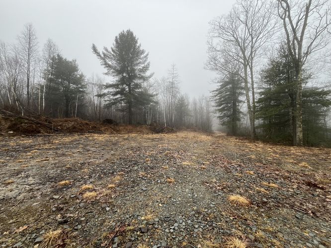
Hikers will find the main parking area for this trail located at the coordinates provided which lead to the junction of Matson Road and the Oak Ridge Trail. As of March 2022, this area of Tioga State Forest is still being used for natural gas extraction and thus this road is currently maintained year-round for related trucking activities. Be mindful of the large trucks that drive these roads and park off to the side of the road to avoid blocking any traffic.
Difficulty
This trail can be rated "easy" unless bushwhacking and thus the trail should be considered moderate.
Pets
Dogs are allowed if leashed.
Camping
Backpackers can likely find a place to setup camp, but there were no campsites located along this hike. The top of Oak Point Mountain is probably not very forgiving during the warmer months when the brush is more filled-in and dense. During the colder months, it'd be easier to hang a hammock to camp. Please follow all state forest rules when dispersed / primitive / backcountry camping.
Blaze Color
None of the trails on this track follow any blazes or markers. There are no trailhead signs either.
Pine Creek Pinnacles (PCP20)
This hike is part of the Pine Creek Pinnacles hiking challenge. For this hike, making it closest to the USGS Summit (on-trail) for Oak Point Mountain is good enough - no need to bushwhack to the rattlesnake den! For more information, details, and FAQs, please visit our Pine Creek Pinnacles (PCP20) page.
Trails
Please note that none of the trails along this recorded track have trailhead signs or blazes along them as of late December 2020 when I first explored this trail. When returning on March 10, 2022 nothing had changed, so bring an offline mapping app or at least a physical map. The main route that runs to the fork in the trail (see notes below) is a service road called the Matson Trail. Despite the trail name, it's unclear where the Matson Trail ends so my unofficial name for the trail is the Oak Point Mountain Trail since it runs the entire length of the mountain.
Trail Description
I originally mapped this trail after hiking up the School House Hollow Trail in 2020; however, hikers can get to this trailhead the junction of Matson Road and the Oak Ridge Trail. From the trailhead, the Matson Trail heads south following a flat grade for a large majority of the hike.
School House Hollow Trail Junction - Mile 0.6
After hiking down the trail for about 0.6-miles, hikers will reach a junction with the School House Hollow Trail and the Matson Trail.
After passing the School House Hollow Trail the trail continues heading due south along a flat grade - passing the summit of Oak Point Mountain to the east - before reaching a fork in the trail. At the fork, stay right to continue along this mapped route, which eventually heads down the mountain. If you take a left-hand turn this trail does link back to the first junction at mile 0.6 via the Fuller Hollow Trail. Continuing to the right-hand side of the fork, the forest turns into mostly conifers and pines - hiking along and under what looked like mostly Hemlock trees. This section of trail is beautiful during the winter with snow. There's at least one very small break in the trees along this section with an obstructed view of what appears to be Mount Nessmuk next door.
Bushwhack to Rattlesnake Vista - Mile 1.35
Around mile 1.35, if hikers wish to visit a rattlesnake habitat, they can follow the rest of this GPS track - leading through a bushwhack of mountain laurel - out to where Timber Rattlesnakes likely call a rocky outcropping their home. This section of the hike should only be attempted during cold months when rattlesnakes are in their dens and should ideally be avoided between the months of May - October. During this cold winter hike, we were hoping to find a nice vista, but instead found a clearcut area for rattlesnakes to sunbathe in addition to some rocky outcroppings where the Timber Rattlesnakes likely den.
Hiking Out
If you decide not to bushwhack to the rattlesnake den area, then this hike is an easy 2.7-mile out-and-back hike; however, the addition to the rattlesnake vista the hike is closer to 4.3-miles out-and-back for a more moderate hike.
Obstructed Views
Please note that there are really no views on this trail and I only included them as points-of-interest on the map so that hikers know which way they're looking or what they're looking toward while out on the trail. During the winter, you do get some glimpses of neighboring mountains. At the rattlesnake habitat, hikers can see an obstructed view of Round Top mountain during colder months.
Parking
Hikers will find the main parking area for this trail located at the coordinates provided which lead to the junction of Matson Road and the Oak Ridge Trail. As of March 2022, this area of Tioga State Forest is still being used for natural gas extraction and thus this road is currently maintained year-round for related trucking activities. Be mindful of the large trucks that drive these roads and park off to the side of the road to avoid blocking any traffic.
Difficulty
This trail can be rated "easy" unless bushwhacking and thus the trail should be considered moderate.
Pets
Dogs are allowed if leashed.
Camping
Backpackers can likely find a place to setup camp, but there were no campsites located along this hike. The top of Oak Point Mountain is probably not very forgiving during the warmer months when the brush is more filled-in and dense. During the colder months, it'd be easier to hang a hammock to camp. Please follow all state forest rules when dispersed / primitive / backcountry camping.
Blaze Color
None of the trails on this track follow any blazes or markers. There are no trailhead signs either.
Pine Creek Pinnacles (PCP20)
This hike is part of the Pine Creek Pinnacles hiking challenge. For this hike, making it closest to the USGS Summit (on-trail) for Oak Point Mountain is good enough - no need to bushwhack to the rattlesnake den! For more information, details, and FAQs, please visit our Pine Creek Pinnacles (PCP20) page.