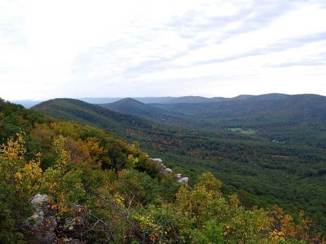
4.6 mi Easy Out-and-Back Add to Trailmix: Log in to create a Trailmix What are Trailmixes? Big Schloss Hike Edinburg, Virginia 4.45
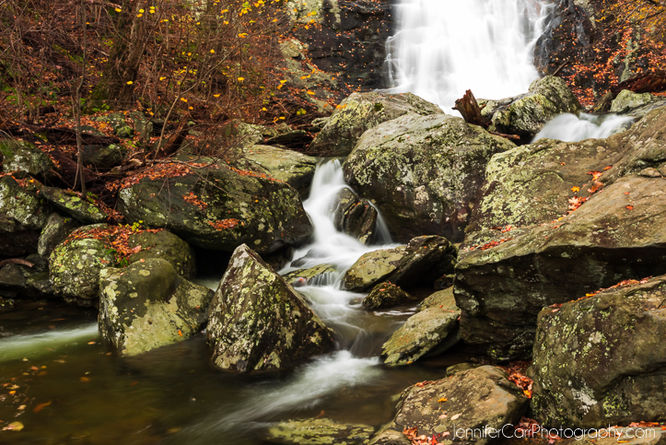
7.7 mi Hard Loop Add to Trailmix: Log in to create a Trailmix What are Trailmixes? White Oak Canyon and Cedar Run Hike Syria, Virginia 4.42
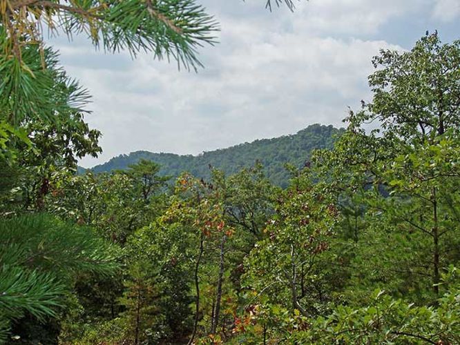
2.3 mi Easy Out-and-Back Add to Trailmix: Log in to create a Trailmix What are Trailmixes? Hidden Rocks Hike Dayton, Virginia 4.0
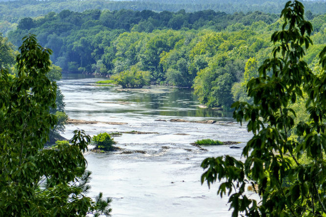
2.5 mi Easy Loop Add to Trailmix: Log in to create a Trailmix What are Trailmixes? Raven Rock Hike Lillington, North Carolina 4.0
7.0 mi Moderate Loop Add to Trailmix: Log in to create a Trailmix What are Trailmixes? Camp Hoover Hike Madison County, Virginia 3.97
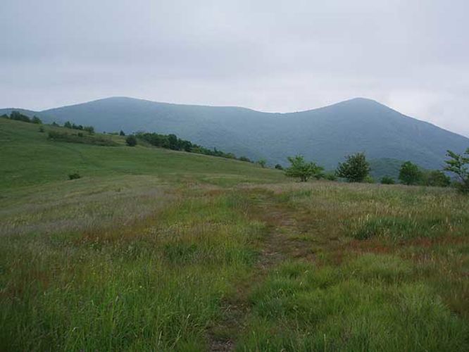
5.7 mi Moderate Loop Add to Trailmix: Log in to create a Trailmix What are Trailmixes? Cole Mountain Hike Vesuvius, Virginia 4.44
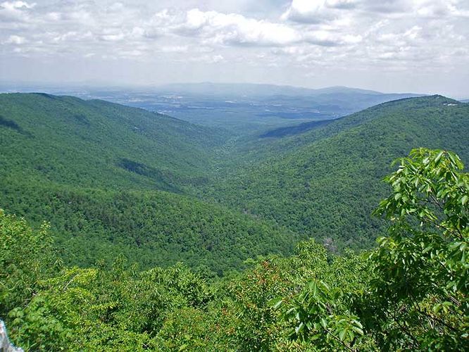
15.5 mi Strenuous Loop Add to Trailmix: Log in to create a Trailmix What are Trailmixes? St. Mary's Wilderness Hike White Rock, Virginia 3.8
4.2 mi Easy Out-and-Back Add to Trailmix: Log in to create a Trailmix What are Trailmixes? Moorman's River Hike Crozet, Virginia 3.94
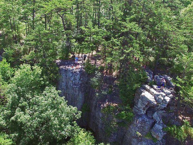
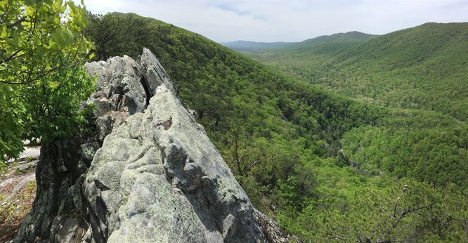
3.8 mi Moderate Out-and-Back Add to Trailmix: Log in to create a Trailmix What are Trailmixes? Buzzard Rock North Hike Front Royal, Virginia 3.9
7.3 mi Moderate Out-and-Back Add to Trailmix: Log in to create a Trailmix What are Trailmixes? Buzzard Rock Hike Fort Valley, Virginia 0
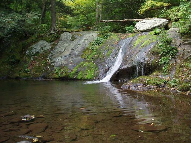
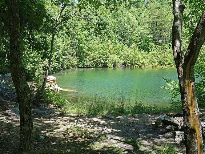
8.3 mi Moderate Loop Add to Trailmix: Log in to create a Trailmix What are Trailmixes? Emerald Pond Hike Stanley, Virginia 3.33
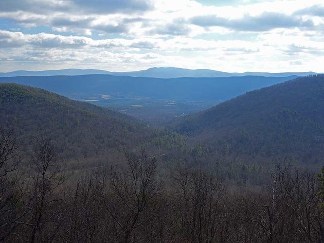
1.7 mi Moderate Out-and-Back Add to Trailmix: Log in to create a Trailmix What are Trailmixes? Woodstock Tower Hike Woodstock, Virginia 3.44