11.1 mi Hard Loop Add to Trailmix: Log in to create a Trailmix What are Trailmixes? Devil's Marbleyard Hike Natural Bridge Station, Virginia 3.95
13.1 mi Hard Out-and-Back Add to Trailmix: Log in to create a Trailmix What are Trailmixes? Crabtree Falls & Spy Rock Hike Tyro, Virginia 4.18
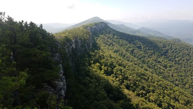
5.2 mi Easy Out-and-Back Add to Trailmix: Log in to create a Trailmix What are Trailmixes? Flat Top Tower Hike Blowing Rock, North Carolina 0
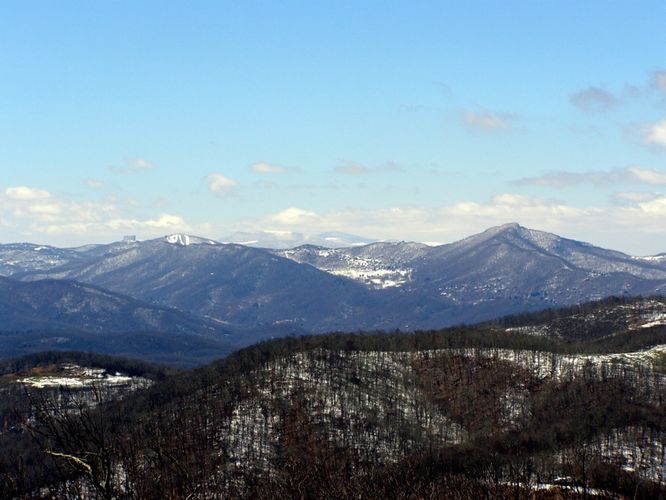
23.0 mi Hard One-Way Add to Trailmix: Log in to create a Trailmix What are Trailmixes? North Fork Mountain Hike Franklin, West Virginia 4.48
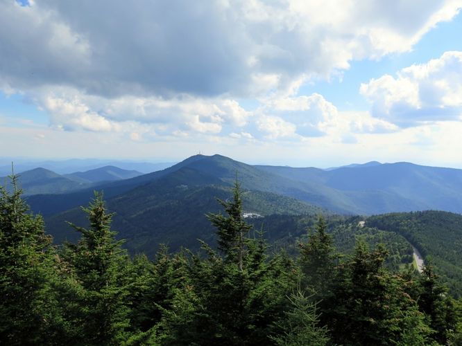
11.2 mi Strenuous One-Way Add to Trailmix: Log in to create a Trailmix What are Trailmixes? Mt. Mitchell via Black Mountain Crest Trail Burnsville, North Carolina 4.0
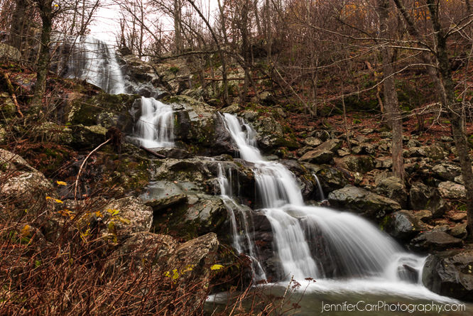
5.3 mi Moderate Loop Add to Trailmix: Log in to create a Trailmix What are Trailmixes? Little Devils Stairs Hike Washington, Virginia 4.16
4.9 mi Hard Out-and-Back Add to Trailmix: Log in to create a Trailmix What are Trailmixes? Chimney Top Hike Cabins, West Virginia 4.67
3.2 mi Easy Out-and-Back Add to Trailmix: Log in to create a Trailmix What are Trailmixes? Devil's Bathtub Hike Norton, Virginia 4.33
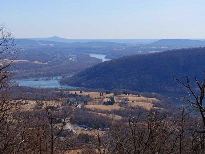
5.0 mi Moderate Loop Add to Trailmix: Log in to create a Trailmix What are Trailmixes? Maryland Heights Hike Washington County, Maryland 4.08
5.4 mi Hard Out-and-Back Add to Trailmix: Log in to create a Trailmix What are Trailmixes? Strickler Knob Hike New Market, Virginia 4.32
8.1 mi Hard Loop Add to Trailmix: Log in to create a Trailmix What are Trailmixes? Three Falls Hike Mauck, Virginia 3.95
6.9 mi Moderate Loop Add to Trailmix: Log in to create a Trailmix What are Trailmixes? Sky Meadows State Park Hike Strasburg, Virginia 3.75