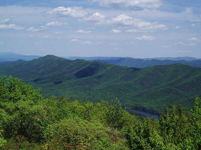
8.9 mi Hard Loop Add to Trailmix: Log in to create a Trailmix What are Trailmixes? Blue Suck Falls Hike Clifton Forge, Virginia 4.43
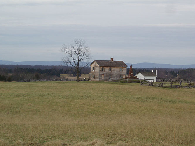
5.1 mi Moderate Loop Add to Trailmix: Log in to create a Trailmix What are Trailmixes? Manassas National Battlefield Bull Run Manassas, Virginia 3.64
12.3 mi Hard Loop Add to Trailmix: Log in to create a Trailmix What are Trailmixes? Allegheny and Seneca Creek Hike Circleville, West Virginia 4.5
11.7 mi Hard Loop Add to Trailmix: Log in to create a Trailmix What are Trailmixes? Overall Run and Heiskell Hollow Hike Rileyville, Virginia 3.95
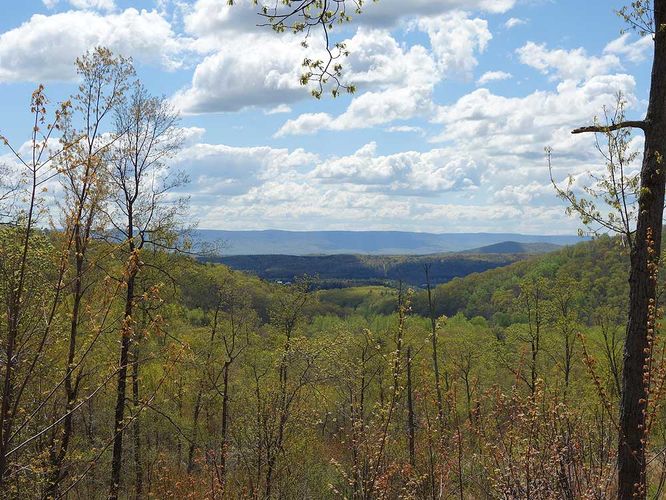
8.0 mi Moderate Out-and-Back Add to Trailmix: Log in to create a Trailmix What are Trailmixes? Ashby Gap Hike Paris, Virginia 3.29
5.1 mi Hard Loop Add to Trailmix: Log in to create a Trailmix What are Trailmixes? Fortune's Cove Hike Lovingston, Virginia 3.91
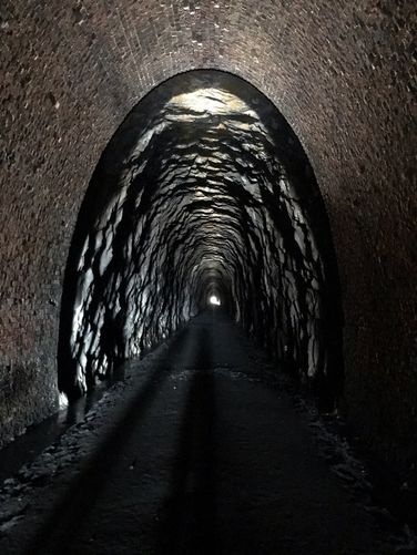
4.4 mi Easy Out-and-Back Add to Trailmix: Log in to create a Trailmix What are Trailmixes? Blue Ridge Tunnel Hike Afton, Virginia 0
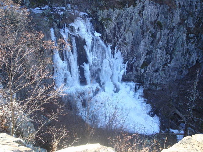
12.1 mi Hard Loop Add to Trailmix: Log in to create a Trailmix What are Trailmixes? North River Gorge Hike Mount Solon, Virginia 4.08
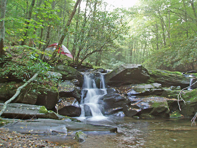
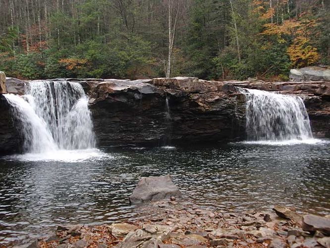
7.4 mi Moderate Out-and-Back Add to Trailmix: Log in to create a Trailmix What are Trailmixes? High Falls Hike Glady, West Virginia 4.36
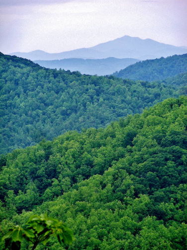
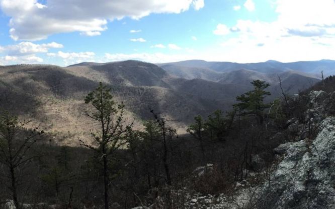
9.4 mi Hard Loop Add to Trailmix: Log in to create a Trailmix What are Trailmixes? Brown Mountain Hike Simmons Gap, Virginia 4.33
6.3 mi Moderate Loop Add to Trailmix: Log in to create a Trailmix What are Trailmixes? Falls Ridge Hike Shenandoah County, Virginia 3.58
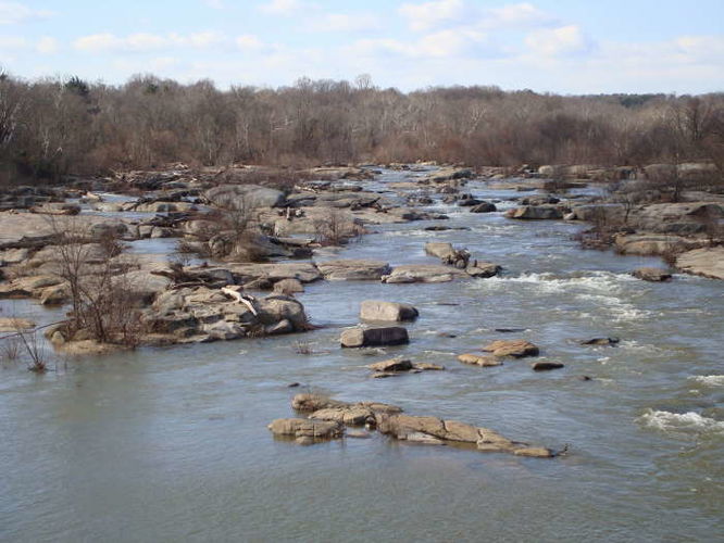
5.6 mi Moderate Loop Add to Trailmix: Log in to create a Trailmix What are Trailmixes? James River Hike Richmond, Virginia 4.31