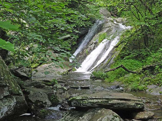
4.9 mi Easy Loop Add to Trailmix: Log in to create a Trailmix What are Trailmixes? Difficult Run Hike McLean, Virginia 3.93
9.0 mi Hard Loop Add to Trailmix: Log in to create a Trailmix What are Trailmixes? Buck Hollow and Mary's Rock Hike Sperryville, Virginia 4.01
8.0 mi Strenuous Out-and-Back Add to Trailmix: Log in to create a Trailmix What are Trailmixes? House Mountain Hike Lexington, Virginia 4.5
5.4 mi Hard Out-and-Back Add to Trailmix: Log in to create a Trailmix What are Trailmixes? Devils Nose Hike Hedgesville, West Virginia 4.0
9.2 mi Hard Loop Add to Trailmix: Log in to create a Trailmix What are Trailmixes? Riprap Hollow Hike Crimora, Virginia 4.07
8.1 mi Moderate Out-and-Back Add to Trailmix: Log in to create a Trailmix What are Trailmixes? Elliott Knob Hike Augusta Springs, Virginia 3.36
6.0 mi Moderate Out-and-Back Add to Trailmix: Log in to create a Trailmix What are Trailmixes? Trumbo Hollow Hike Linden, Virginia 3.71
7.1 mi Hard Out-and-Back Add to Trailmix: Log in to create a Trailmix What are Trailmixes? Tinker Cliffs and Andy Layne Trail Troutville, Virginia 4.38
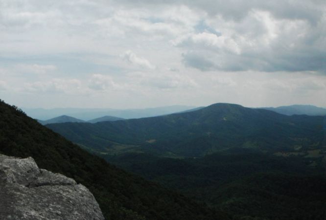
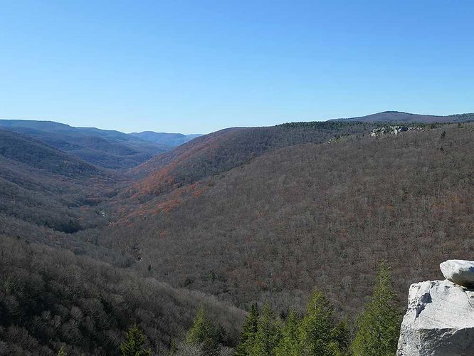
4.6 mi Easy Out-and-Back Add to Trailmix: Log in to create a Trailmix What are Trailmixes? Rohrbaugh Cliffs Hike Davis, West Virginia 0
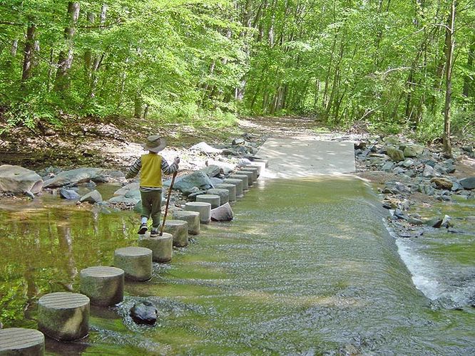
2.4 mi Easy Loop Add to Trailmix: Log in to create a Trailmix What are Trailmixes? Scott's Run Nature Preserve Hike McLean, Virginia 3.87
6.6 mi Moderate Loop Add to Trailmix: Log in to create a Trailmix What are Trailmixes? Jones Run and Doyles River Hike Crozet, Virginia 4.26
5.8 mi Moderate Loop Add to Trailmix: Log in to create a Trailmix What are Trailmixes? Fridley Gap Hike Massanutten, Virginia 3.78

_20250125211122UTC_small.jpg)