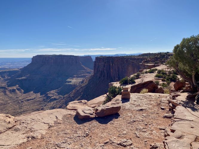
2.0 mi Easy Out-and-Back Add to Trailmix: Log in to create a Trailmix What are Trailmixes? Grand View Point Trail Moab, Utah 5.0
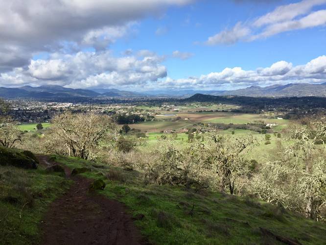
1.4 mi Moderate One-Way Add to Trailmix: Log in to create a Trailmix What are Trailmixes? Buckeye Trail Napa, California 5.0
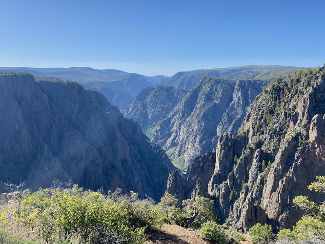
0.9 mi Easy One-Way Add to Trailmix: Log in to create a Trailmix What are Trailmixes? Rim Rock Trail Montrose, Colorado 5.0
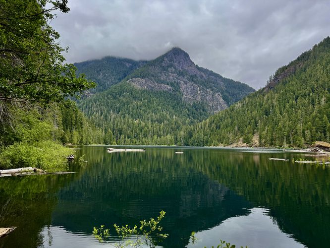
5.3 mi Moderate Out-and-Back Add to Trailmix: Log in to create a Trailmix What are Trailmixes? Lena Lake Hike Eldon, Washington 4.0
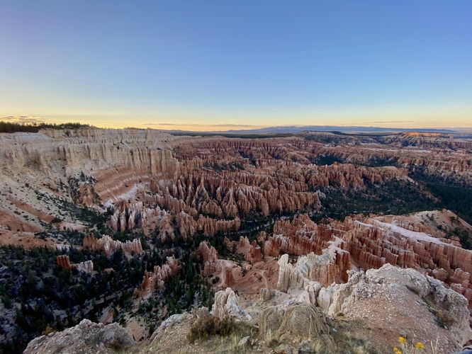
0.3 mi Easy Out-and-Back Add to Trailmix: Log in to create a Trailmix What are Trailmixes? Bryce Point Bryce Canyon City, Utah 5.0
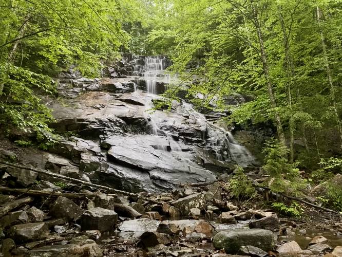
0.6 mi Easy Out-and-Back Add to Trailmix: Log in to create a Trailmix What are Trailmixes? Death Brook Falls Piseco, New York 4.0
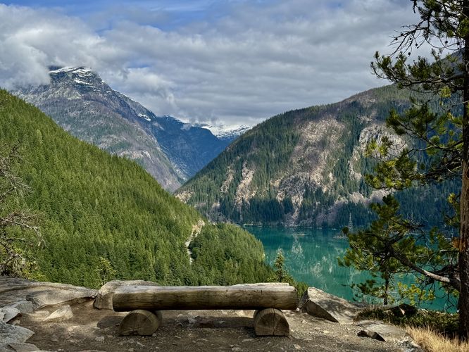
3.4 mi Moderate Out-and-Back Add to Trailmix: Log in to create a Trailmix What are Trailmixes? Thunder Knob Trail Diablo, Washington 5.0
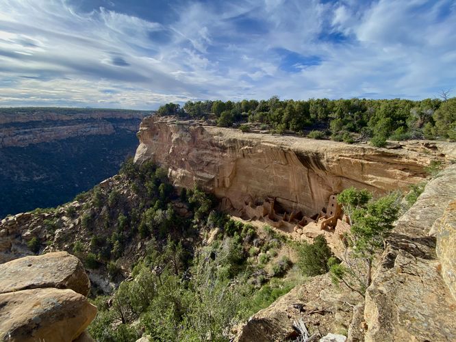
0.2 mi Easy Out-and-Back Add to Trailmix: Log in to create a Trailmix What are Trailmixes? Square Tower House Overlook Trail Mesa Verde National Park, Colorado 5.0
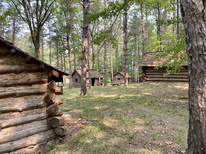
0.4 mi Easy One-Way Add to Trailmix: Log in to create a Trailmix What are Trailmixes? Native American Village Pathway Elmira, New York 4.0
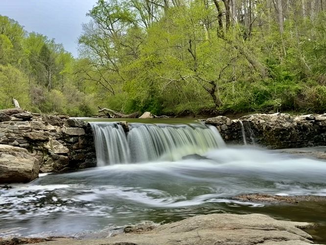
0.7 mi Easy Add to Trailmix: Log in to create a Trailmix What are Trailmixes? Magarge Dam Falls Hike Philadelphia, Pennsylvania 4.0
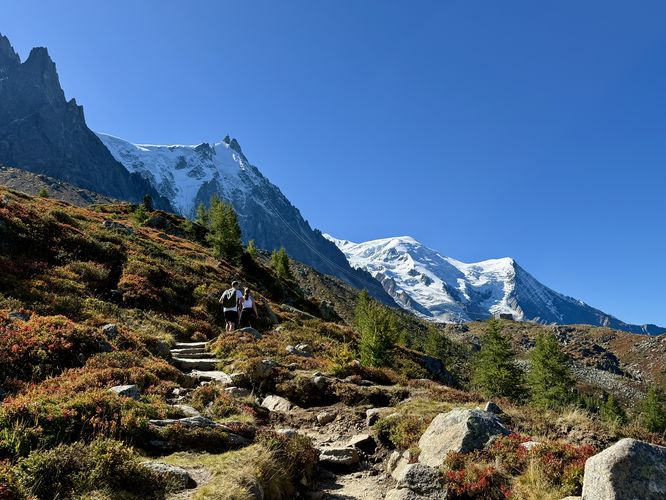
7.7 km Moderate One-Way Add to Trailmix: Log in to create a Trailmix What are Trailmixes? Grand Balcon Nord Hike (Mont Blanc) Chamonix-Mont-Blanc, France 5.0
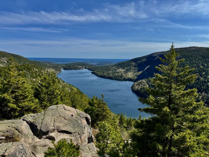
3.5 mi Hard Loop Add to Trailmix: Log in to create a Trailmix What are Trailmixes? The Bubbles Loop Hike Mount Desert, Maine 5.0