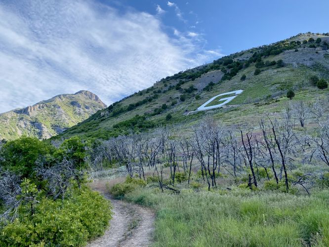
1.9 mi Hard Out-and-Back Add to Trailmix: Log in to create a Trailmix What are Trailmixes? G Monument Trail Pleasant Grove, Utah 4.0
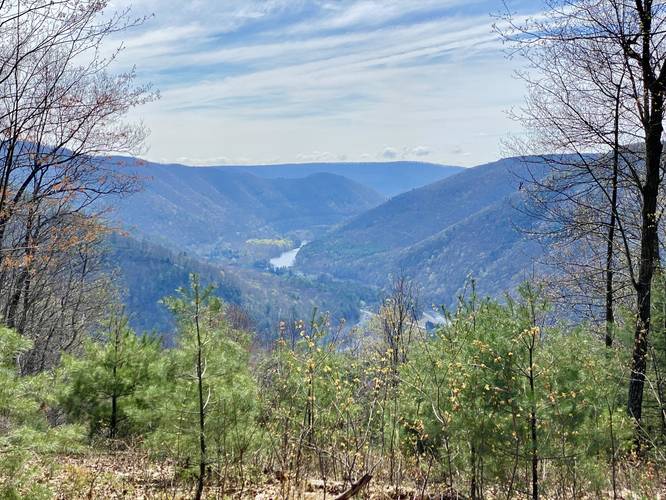
6.0 mi Moderate Loop Add to Trailmix: Log in to create a Trailmix What are Trailmixes? Waterville Vista Loop Waterville, Pennsylvania 4.0
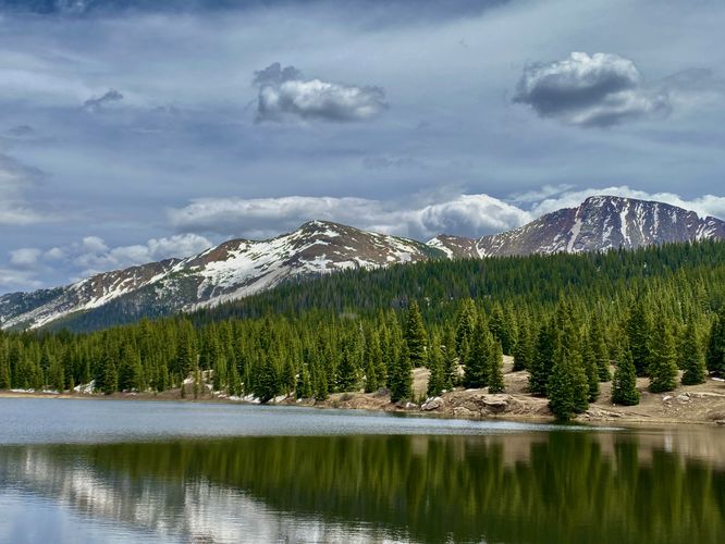
0.8 mi Easy Out-and-Back Add to Trailmix: Log in to create a Trailmix What are Trailmixes? Andrews Lake Trail Silverton, Colorado 5.0
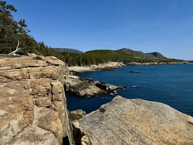
0.3 mi Easy Out-and-Back Add to Trailmix: Log in to create a Trailmix What are Trailmixes? Otter Cliffs Bar Harbor, Maine 5.0
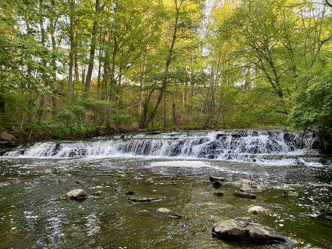
2.3 mi Easy Loop Add to Trailmix: Log in to create a Trailmix What are Trailmixes? Corbett's Glen Hike & Waterfalls Brighton, New York 4.0
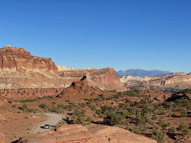
0.1 mi Easy Out-and-Back Add to Trailmix: Log in to create a Trailmix What are Trailmixes? Panorama Point Overlook Torrey, Utah 4.0
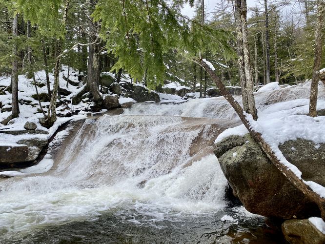
1.2 mi Easy Out-and-Back Add to Trailmix: Log in to create a Trailmix What are Trailmixes? Diana's Baths Trail Bartlett, New Hampshire 5.0
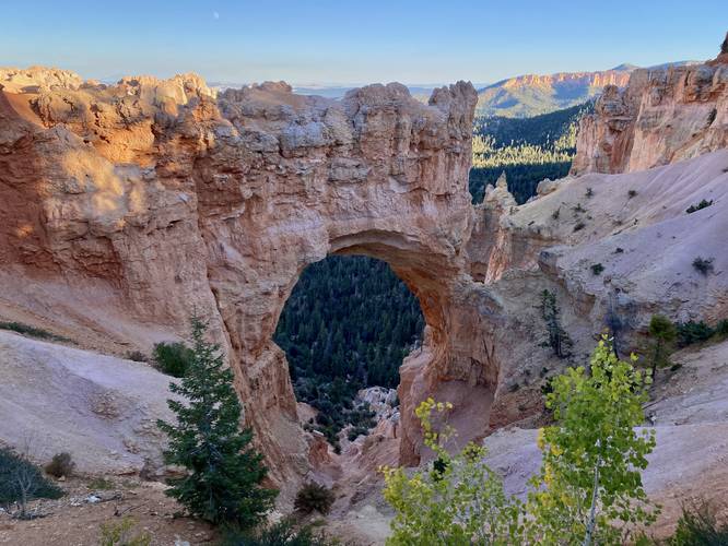
0.1 mi Easy Out-and-Back Add to Trailmix: Log in to create a Trailmix What are Trailmixes? Natural Bridge Overlook Bryce Canyon City, Utah 5.0
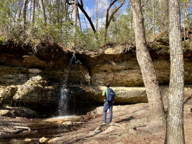
1.0 mi Moderate Out-and-Back Add to Trailmix: Log in to create a Trailmix What are Trailmixes? Peachtree Rock and Waterfall Hike Lexington, South Carolina 5.0
0.8 mi Moderate One-Way Add to Trailmix: Log in to create a Trailmix What are Trailmixes? Gorge Trail (Stony Brook) Dansville, New York 5.0
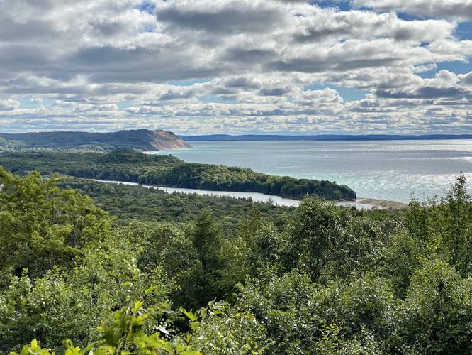
0.1 mi Easy Out-and-Back Add to Trailmix: Log in to create a Trailmix What are Trailmixes? North Bar Overlook Empire, Michigan 4.0
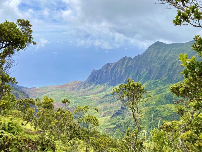
0.5 mi Moderate Out-and-Back Add to Trailmix: Log in to create a Trailmix What are Trailmixes? Pihea Trail Vistas Waimea, Hawaii 5.0