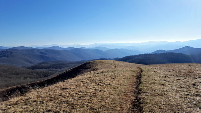
7.0 mi Moderate Out-and-Back Add to Trailmix: Log in to create a Trailmix What are Trailmixes? Max Patch Hike Joe, North Carolina 4.0
13.9 mi Strenuous Loop Add to Trailmix: Log in to create a Trailmix What are Trailmixes? Jones Mountain Hike Stanley, Virginia 4.08
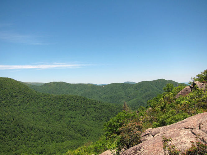
8.4 mi Hard Loop Add to Trailmix: Log in to create a Trailmix What are Trailmixes? Hawksbill Franklin Cliffs Hike Oldrag, Virginia 3.86
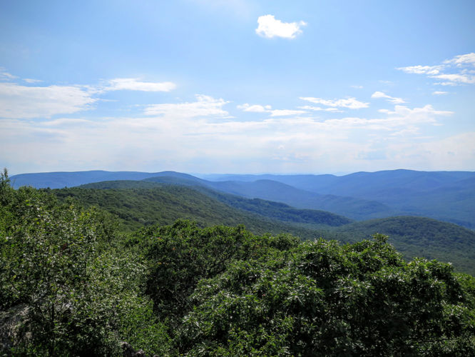
5.8 mi Moderate Loop Add to Trailmix: Log in to create a Trailmix What are Trailmixes? Big Run Hike Mission Home, Virginia 0
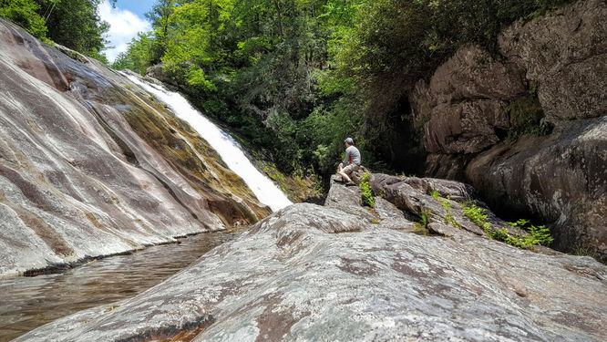
6.0 mi Hard Out-and-Back Add to Trailmix: Log in to create a Trailmix What are Trailmixes? Steels Creek Falls Hike Jonas Ridge, North Carolina 4.5
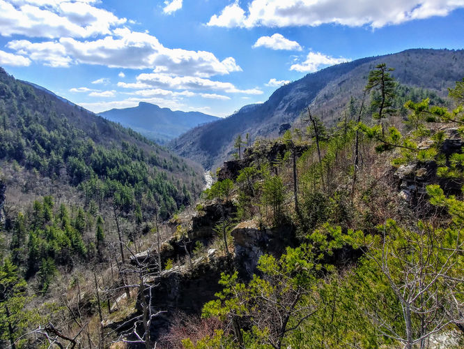
3.1 mi Hard Out-and-Back Add to Trailmix: Log in to create a Trailmix What are Trailmixes? Babel Tower Hike Linville Gorge Wilderness, North Carolina 4.0
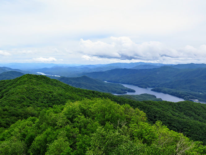
12.7 mi Strenuous Out-and-Back Add to Trailmix: Log in to create a Trailmix What are Trailmixes? Devil's Garden Overlook & Window Falls Hike Joynes, North Carolina 3.5
6.8 mi Hard Out-and-Back Add to Trailmix: Log in to create a Trailmix What are Trailmixes? Shuckstack Lookout Tower Hike Fontana Dam, North Carolina 0
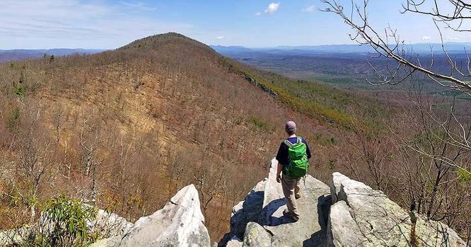
7.3 mi Hard Out-and-Back Add to Trailmix: Log in to create a Trailmix What are Trailmixes? Church Rock Hike Basye, Virginia 4.14
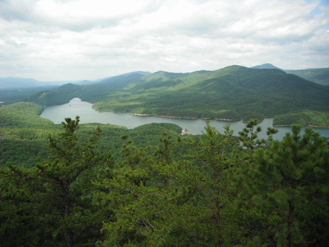
8.8 mi Hard Loop Add to Trailmix: Log in to create a Trailmix What are Trailmixes? Mountain Lake Wilderness Hike Newport, Virginia 0
7.7 mi Moderate Out-and-Back Add to Trailmix: Log in to create a Trailmix What are Trailmixes? Carvin Cove and Hay Rock Hike Daleville, Virginia 4.07
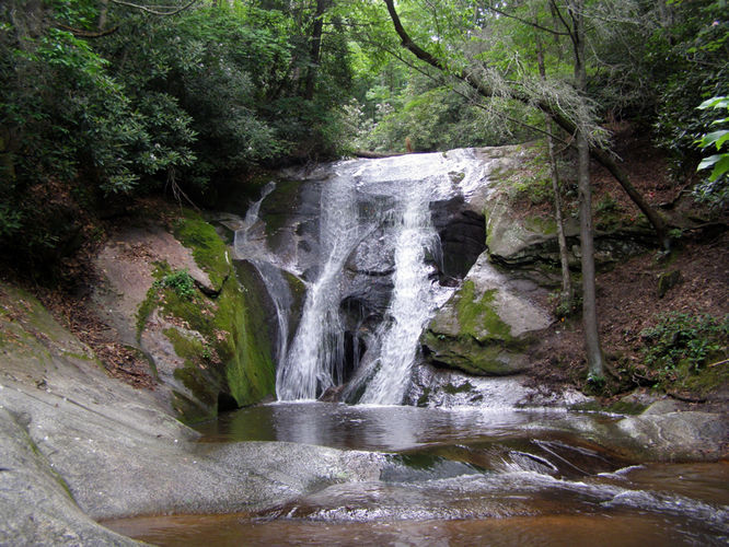
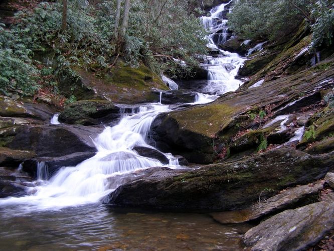
1.3 mi Easy Out-and-Back Add to Trailmix: Log in to create a Trailmix What are Trailmixes? Roaring Fork Falls Hike Burnsville, North Carolina 4.5