7.9 mi Hard Loop Add to Trailmix: Log in to create a Trailmix What are Trailmixes? Goshen Pass and Jump Rock Hike Goshen, Virginia 3.71
5.1 mi Moderate Loop Add to Trailmix: Log in to create a Trailmix What are Trailmixes? Dickey Ridge Hike Front Royal, Virginia 4.0
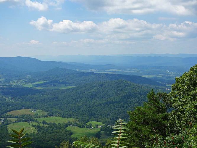
3.5 mi Moderate Out-and-Back Add to Trailmix: Log in to create a Trailmix What are Trailmixes? Duncan Knob Hike Mount Jackson, Virginia 3.84
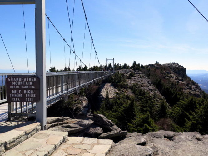
10.6 mi Strenuous Out-and-Back Add to Trailmix: Log in to create a Trailmix What are Trailmixes? Grandfather Mountain via Profile Trail Sugar Mountain, North Carolina 5.0
18.2 mi Strenuous Out-and-Back Add to Trailmix: Log in to create a Trailmix What are Trailmixes? Roan Highlands Hike Roan Mountain, Tennessee 5.0
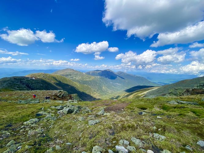
19.9 mi Strenuous One-Way Add to Trailmix: Log in to create a Trailmix What are Trailmixes? Presidential Range Hike Hart's Location, New Hampshire 0
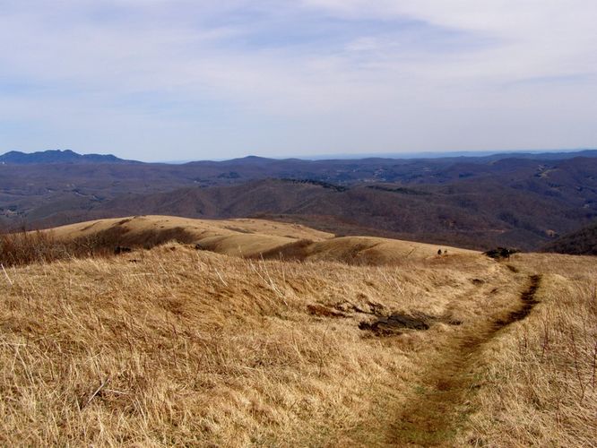
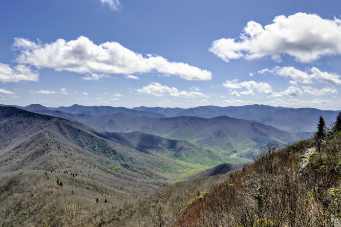
21.4 mi Strenuous Loop Add to Trailmix: Log in to create a Trailmix What are Trailmixes? Mt. Rogers and Wilburn Ridge Hike Troutdale, Virginia 4.33
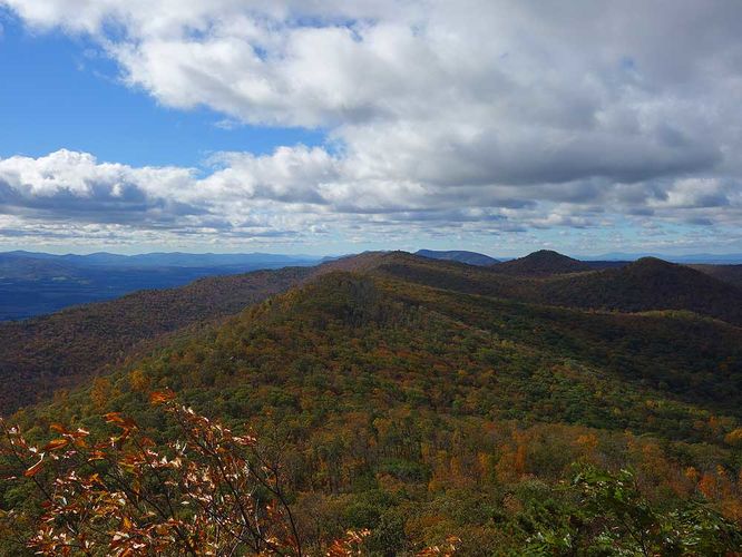
6.6 mi Moderate Loop Add to Trailmix: Log in to create a Trailmix What are Trailmixes? Lookout Mountain Hike Black Mountain, North Carolina 0
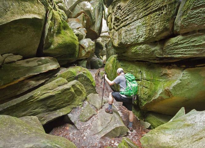
5.9 mi Moderate Out-and-Back Add to Trailmix: Log in to create a Trailmix What are Trailmixes? Great Channels Hike Saltville, Virginia 4.5
9.8 mi Hard Out-and-Back Add to Trailmix: Log in to create a Trailmix What are Trailmixes? Cold Mountain Hike Waynesville, North Carolina 0
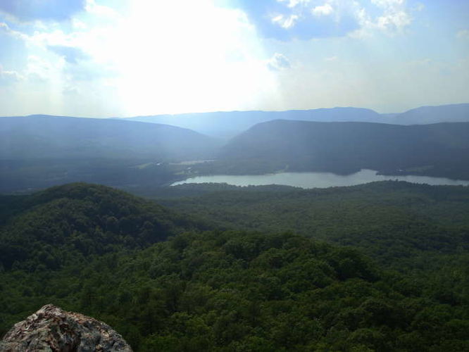
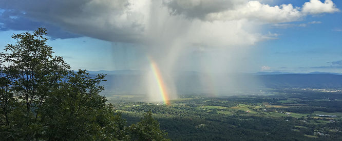
5.9 mi Moderate Out-and-Back Add to Trailmix: Log in to create a Trailmix What are Trailmixes? Kepler Overlook Hike Strasburg, Virginia 4.12
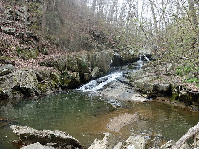
3.1 mi Easy Loop Add to Trailmix: Log in to create a Trailmix What are Trailmixes? Dead Run Hike McLean, Virginia 3.5