5.8 mi Moderate Loop Add to Trailmix: Log in to create a Trailmix What are Trailmixes? Apple Orchard Falls Hike Munford, Virginia 3.75
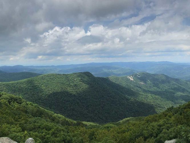
10.9 mi Hard Loop Add to Trailmix: Log in to create a Trailmix What are Trailmixes? Five Peaks Loop Hike Westfield, North Carolina 4.71
4.8 mi Easy Loop Add to Trailmix: Log in to create a Trailmix What are Trailmixes? Sky Meadows Farms and Lost Mountain Hike Paris, Virginia 3.21
7.9 mi Moderate Out-and-Back Add to Trailmix: Log in to create a Trailmix What are Trailmixes? Bear Church Rock Hike Graves Mill, Virginia 4.42
7.7 mi Moderate Out-and-Back Add to Trailmix: Log in to create a Trailmix What are Trailmixes? The Cascades and Barney's Wall Hike Ripplemead, Virginia 4.68
8.4 mi Strenuous Out-and-Back Add to Trailmix: Log in to create a Trailmix What are Trailmixes? The Priest Hike Tyro, Virginia 3.93
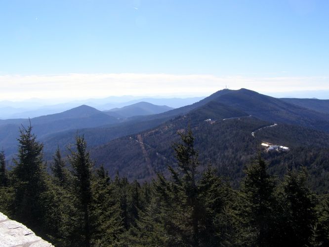
10.9 mi Hard Out-and-Back Add to Trailmix: Log in to create a Trailmix What are Trailmixes? Mount Mitchell Trail Burnsville, North Carolina 3.33
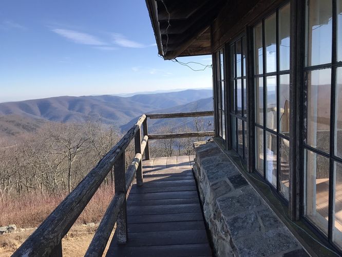
3.4 mi Easy Loop Add to Trailmix: Log in to create a Trailmix What are Trailmixes? Stony Man Mountain Loop Hike Valleyburgh, Virginia 3.89
2.6 mi Easy Out-and-Back Add to Trailmix: Log in to create a Trailmix What are Trailmixes? High Knob Tower Hike Brandywine, West Virginia 5.0
7.1 mi Moderate Out-and-Back Add to Trailmix: Log in to create a Trailmix What are Trailmixes? Eagle Rock Hike Wardensville, West Virginia 3.71
10.1 mi Strenuous Loop Add to Trailmix: Log in to create a Trailmix What are Trailmixes? Woody Ridge Trail Burnsville, North Carolina 5.0
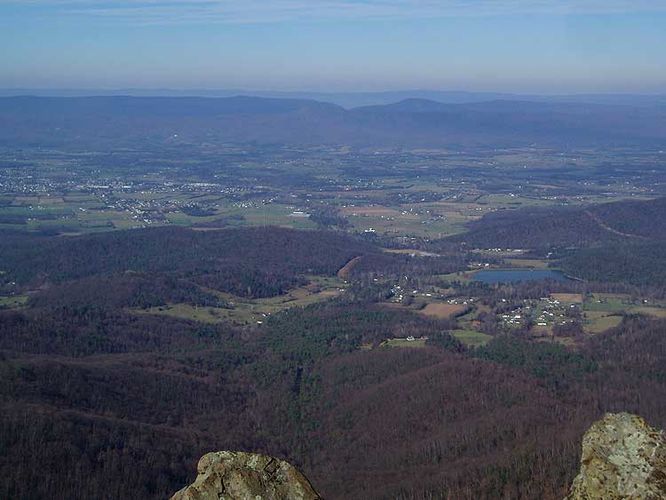
3.2 mi Hard Out-and-Back Add to Trailmix: Log in to create a Trailmix What are Trailmixes? Tibbet Knob Hike Edinburg, Virginia 4.17