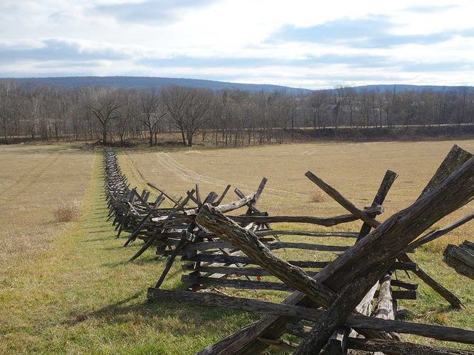
3.2 mi Easy Out-and-Back Add to Trailmix: Log in to create a Trailmix What are Trailmixes? School House Ridge Hike Millville, West Virginia 3.5
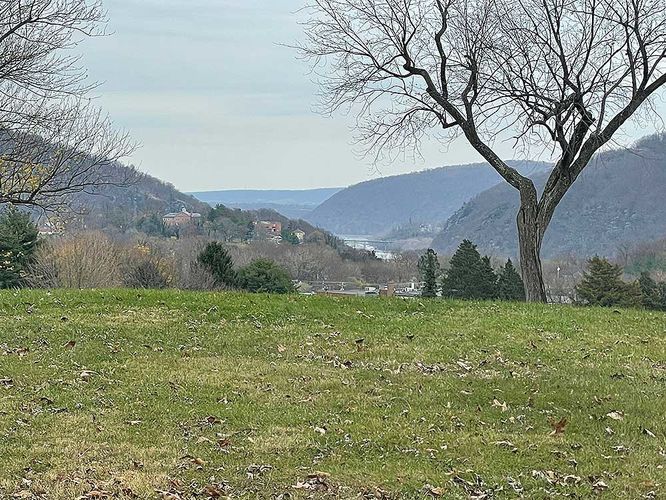
3.3 mi Easy Loop Add to Trailmix: Log in to create a Trailmix What are Trailmixes? Bolivar Heights Hike Bolivar, West Virginia 0
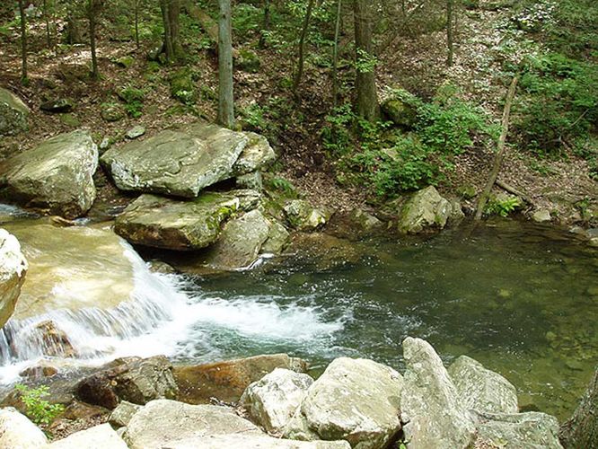
8.7 mi Hard Loop Add to Trailmix: Log in to create a Trailmix What are Trailmixes? Morgan Run Hike Shenandoah, Virginia 3.44
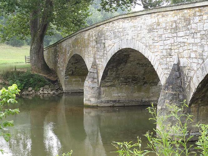
4.4 mi Easy Loop Add to Trailmix: Log in to create a Trailmix What are Trailmixes? Antietam Burnside Bridge Hike Sharpsburg, Maryland 3.0
4.8 mi Easy Loop Add to Trailmix: Log in to create a Trailmix What are Trailmixes? Deep Creek Hike Bryson City, North Carolina 0
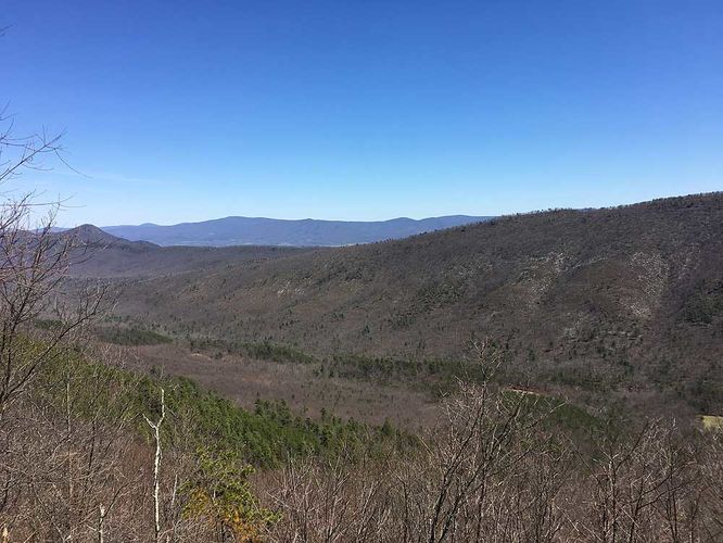
2.5 mi Moderate Out-and-Back Add to Trailmix: Log in to create a Trailmix What are Trailmixes? Jawbone Overlook Hike Mount Jackson, Virginia 3.56
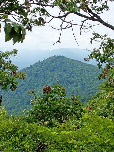
9.5 mi Moderate Loop Add to Trailmix: Log in to create a Trailmix What are Trailmixes? Little Passage Creek Hike Fort Valley, Virginia 3.33
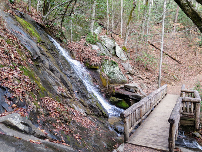
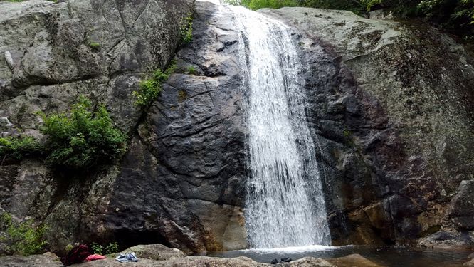
6.0 mi Moderate Out-and-Back Add to Trailmix: Log in to create a Trailmix What are Trailmixes? North Harper Creek Falls Hike Linville, North Carolina 5.0
7.2 mi Moderate Loop Add to Trailmix: Log in to create a Trailmix What are Trailmixes? Big Run and Leading Ridge Hike Osceola, West Virginia 3.0
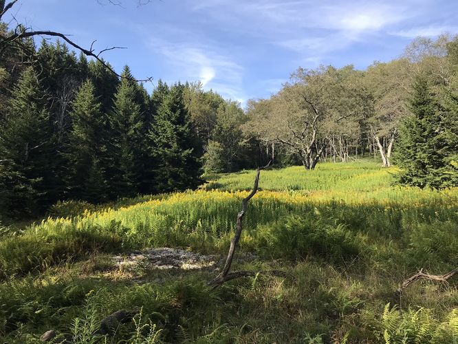
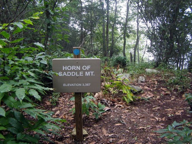
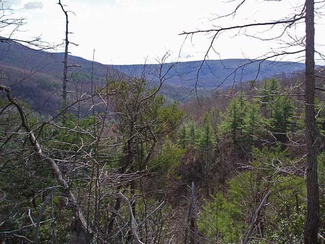
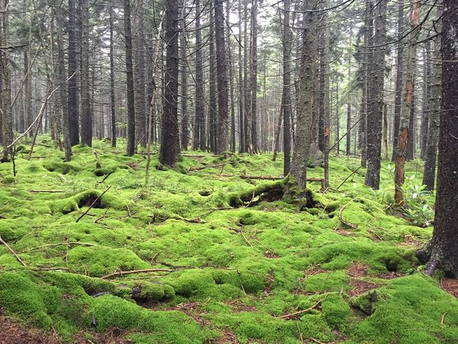
2.9 mi Moderate Out-and-Back Add to Trailmix: Log in to create a Trailmix What are Trailmixes? Saddle Mountain Hike Barrett, North Carolina 0
8.6 mi Strenuous Loop Add to Trailmix: Log in to create a Trailmix What are Trailmixes? Long Mountain Hike Wardensville, West Virginia 4.2
15.5 mi Moderate Out-and-Back Add to Trailmix: Log in to create a Trailmix What are Trailmixes? Tumbling Rock Hike Woodrow, West Virginia 4.0