7.0 mi Moderate Loop Add to Trailmix: Log in to create a Trailmix What are Trailmixes? Prince William Forest Hike Triangle, Virginia 3.73
6.2 mi Moderate Out-and-Back Add to Trailmix: Log in to create a Trailmix What are Trailmixes? Keys Gap and David Lesser Shelter Hike Keys Gap, Virginia 3.5
6.9 mi Moderate Out-and-Back Add to Trailmix: Log in to create a Trailmix What are Trailmixes? Veach Gap and South Fork Overlook Hike Seven Fountains, Virginia 3.64
8.2 mi Hard One-Way Add to Trailmix: Log in to create a Trailmix What are Trailmixes? Chester Gap to Jenkins Gap Hike Warren County, Virginia 4.0
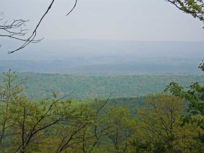
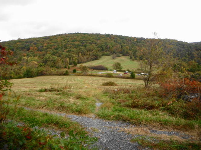
6.4 mi Moderate Loop Add to Trailmix: Log in to create a Trailmix What are Trailmixes? Fountainhead Regional Park Hike Fairfax Station, Virginia 3.0
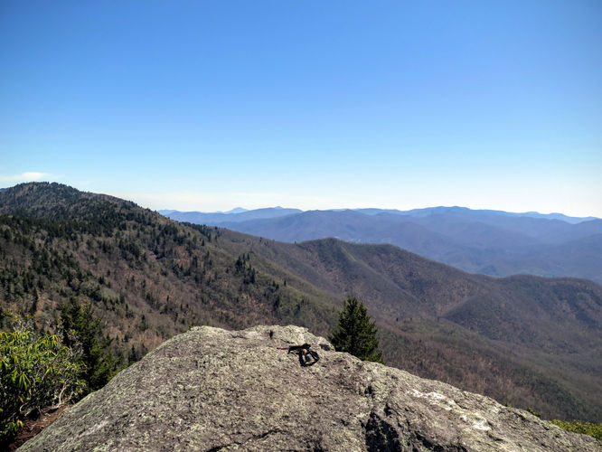
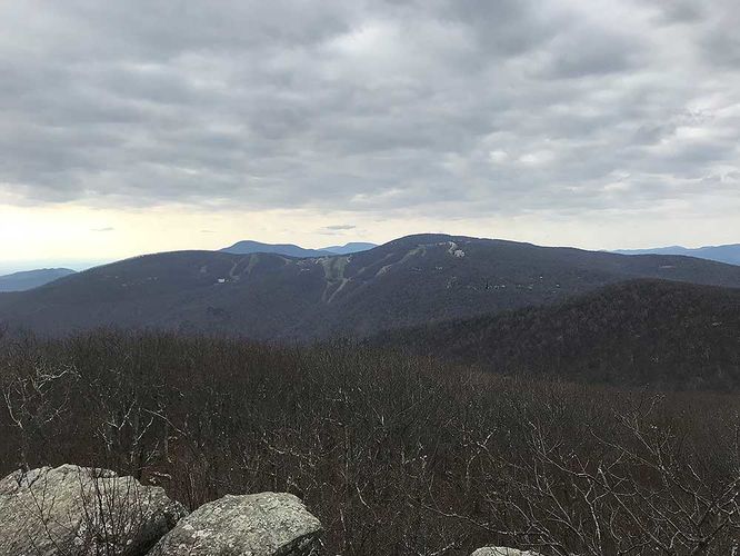
10.4 mi Strenuous Out-and-Back Add to Trailmix: Log in to create a Trailmix What are Trailmixes? Blackrock Mtn and The Pinnacle Hike Sylva, North Carolina 3.0
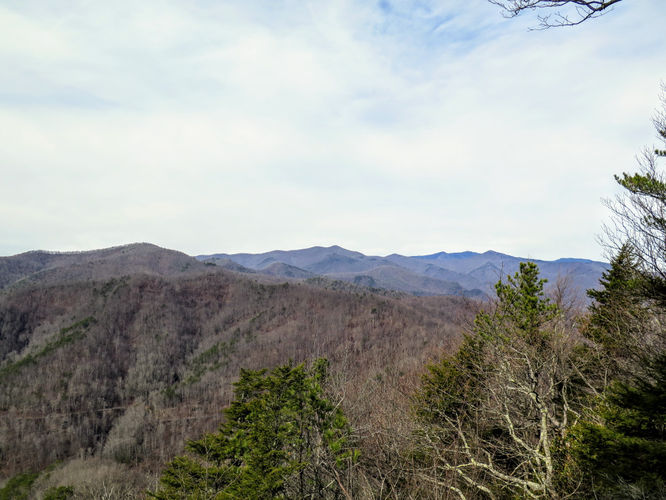
11.3 mi Hard One-Way Add to Trailmix: Log in to create a Trailmix What are Trailmixes? North Mountain Trail Hike Troutville, Virginia 4.0
6.0 mi Moderate Loop Add to Trailmix: Log in to create a Trailmix What are Trailmixes? Cacapon Resort State Park Hike Berkeley Springs, West Virginia 3.86
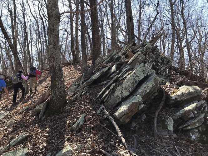
9.8 mi Hard Loop Add to Trailmix: Log in to create a Trailmix What are Trailmixes? Kitsuma Peak and Point Lookout Hike Old Fort, North Carolina 0
13.6 mi Hard One-Way Add to Trailmix: Log in to create a Trailmix What are Trailmixes? Dripping Rock and Rockfish Gap Hike Afton, Virginia 0
15.3 mi Moderate Out-and-Back Add to Trailmix: Log in to create a Trailmix What are Trailmixes? Calf Mountain Hike Afton, Virginia 3.5
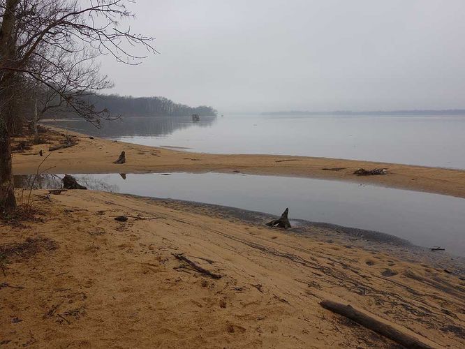
7.1 mi Moderate Out-and-Back Add to Trailmix: Log in to create a Trailmix What are Trailmixes? Mason Neck Loop Hike Lorton, Virginia 3.5