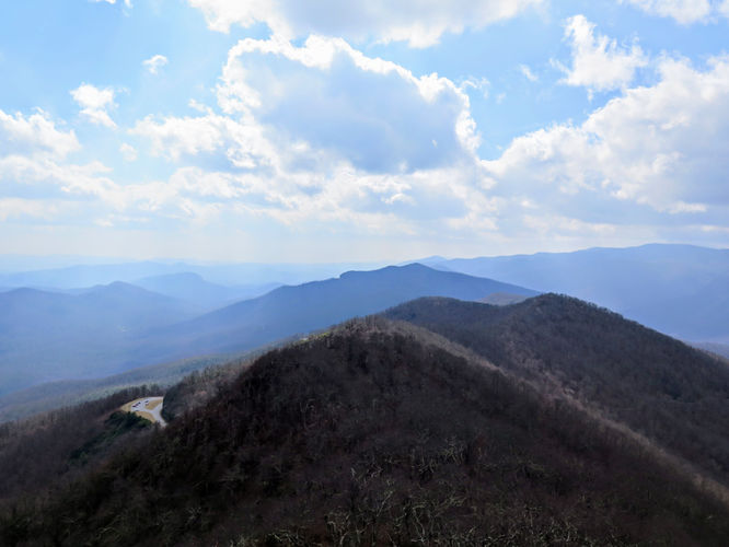
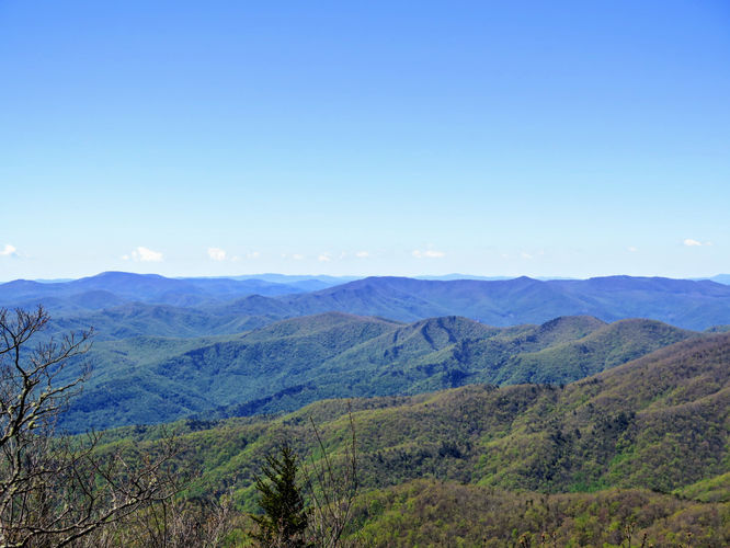
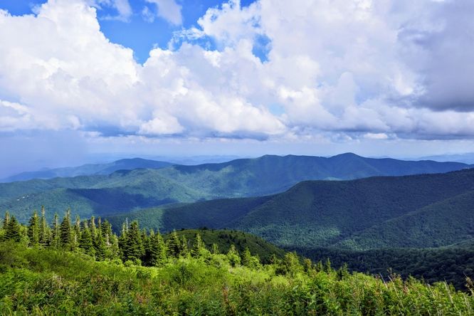
1.6 mi Easy Out-and-Back Add to Trailmix: Log in to create a Trailmix What are Trailmixes? Fryingpan Mountain Hike Canton, North Carolina 0
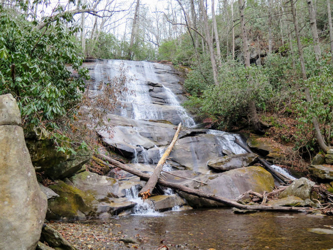
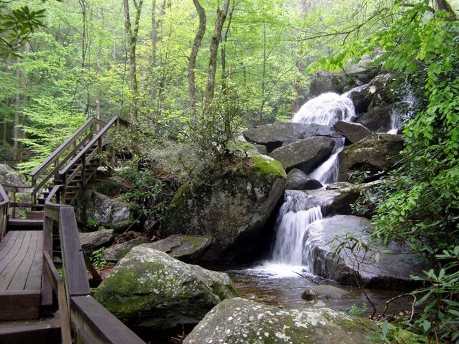
2.4 mi Easy Out-and-Back Add to Trailmix: Log in to create a Trailmix What are Trailmixes? Cove Creek Falls Hike Brevard, North Carolina 0
10.3 mi Hard Out-and-Back Add to Trailmix: Log in to create a Trailmix What are Trailmixes? Douglas Falls and Craggy Gardens Barnardsville, North Carolina 0
7.0 mi Moderate Out-and-Back Add to Trailmix: Log in to create a Trailmix What are Trailmixes? Snowball Trail Hike Barnardsville, North Carolina 0
5.6 mi Hard Out-and-Back Add to Trailmix: Log in to create a Trailmix What are Trailmixes? Green Knob Lookout Tower Hike Burnsville, North Carolina 4.0
7.4 mi Moderate Loop Add to Trailmix: Log in to create a Trailmix What are Trailmixes? High Shoals Falls Hike Connelly Springs, North Carolina 5.0
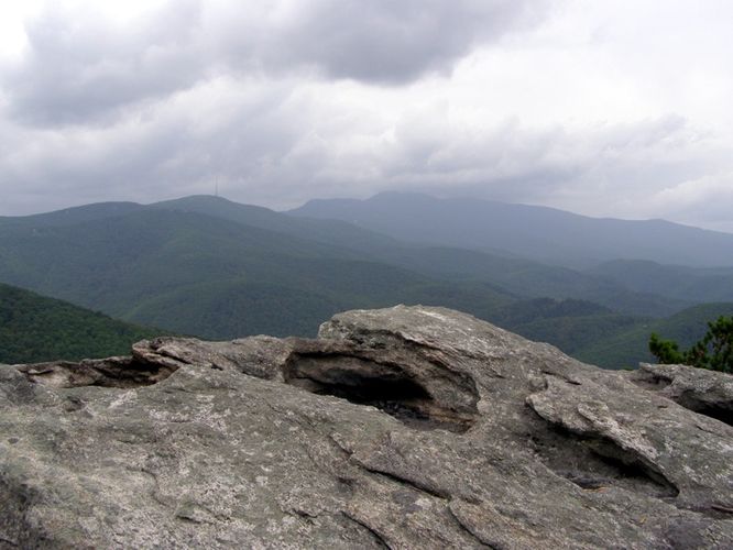
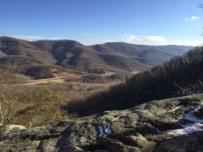
0.8 mi Easy Out-and-Back Add to Trailmix: Log in to create a Trailmix What are Trailmixes? Beacon Heights Hike Linville, North Carolina 0
1.6 mi Easy Out-and-Back Add to Trailmix: Log in to create a Trailmix What are Trailmixes? Little Lost Cove Cliffs Hike Linville, North Carolina 0
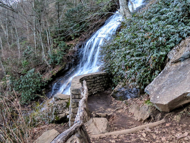
2.0 mi Easy Out-and-Back Add to Trailmix: Log in to create a Trailmix What are Trailmixes? Cascade Falls Hike Stony Fork, North Carolina 0
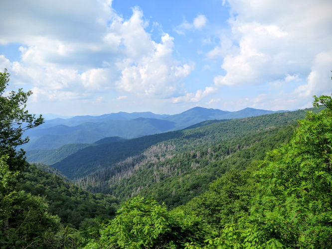
12.6 mi Strenuous Loop Add to Trailmix: Log in to create a Trailmix What are Trailmixes? Colbert Ridge Trail and Buncombe Horse Range Trail Hike Burnsville, North Carolina 0
11.3 mi Hard Out-and-Back Add to Trailmix: Log in to create a Trailmix What are Trailmixes? Rich Hole Hike Goshen, Virginia 3.0
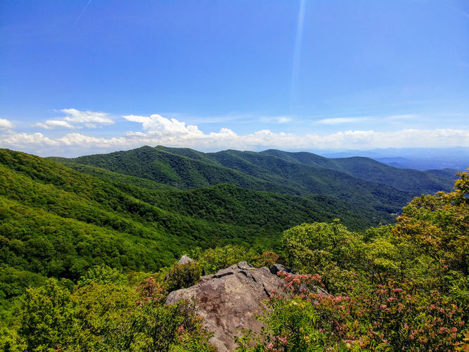
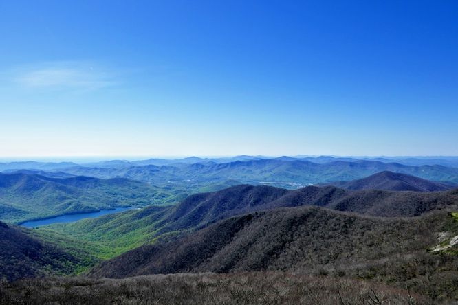
1.0 mi Easy Out-and-Back Add to Trailmix: Log in to create a Trailmix What are Trailmixes? Craggy Pinnacle Hike Black Mountain, North Carolina 0