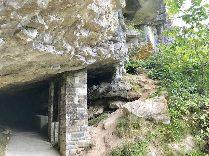
0.2 mi Easy Out-and-Back Add to Trailmix: Log in to create a Trailmix What are Trailmixes? Gap Cave Trail Ewing, Virginia 0
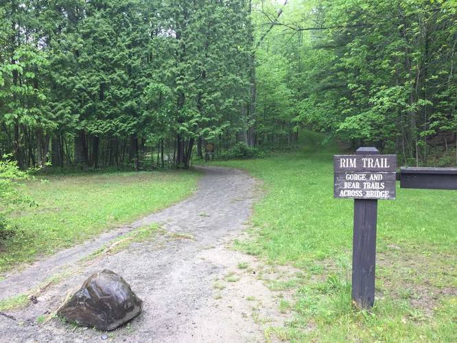
1.0 mi Moderate One-Way Add to Trailmix: Log in to create a Trailmix What are Trailmixes? Buttermilk Falls Rim Trail Ithaca, New York 0
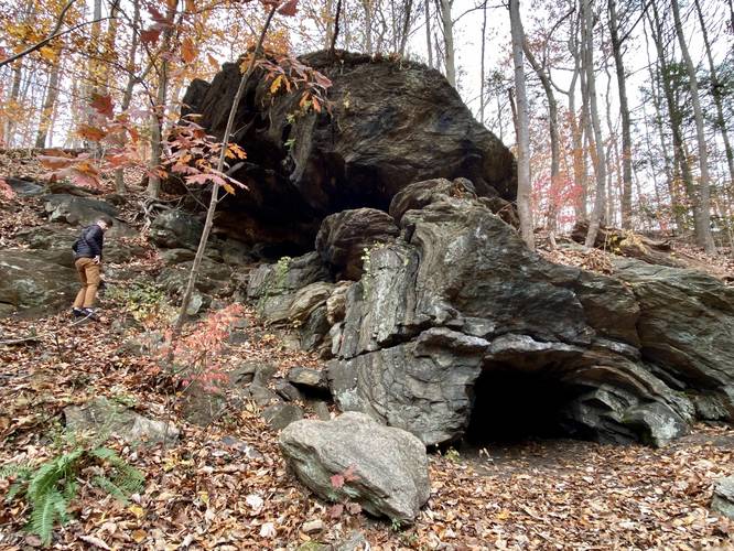
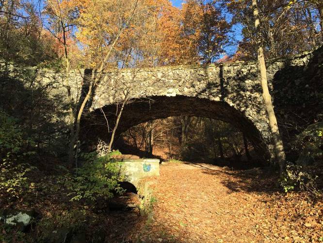
1.7 mi Easy Loop Add to Trailmix: Log in to create a Trailmix What are Trailmixes? Gorgas Creek Cave Loop Philadelphia, Pennsylvania 0
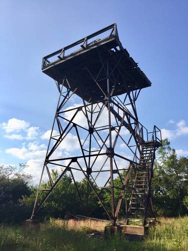
1.0 mi Easy Out-and-Back Add to Trailmix: Log in to create a Trailmix What are Trailmixes? Bell Knob Lookout Tower Trail Dolly Sods Wilderness, West Virginia 0
0.8 mi Moderate Loop Add to Trailmix: Log in to create a Trailmix What are Trailmixes? Bear Run Falls Loop Wellsboro, Pennsylvania 0
4.7 mi Moderate Out-and-Back Add to Trailmix: Log in to create a Trailmix What are Trailmixes? Roaring Plains Trail Roaring Plains Wilderness, West Virginia 0
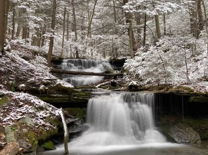
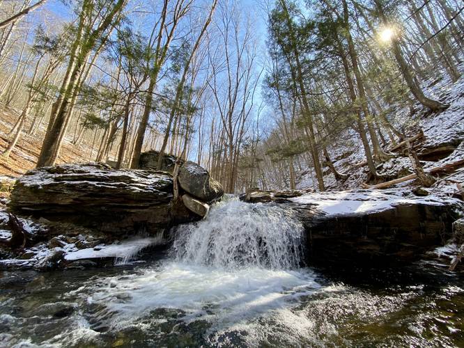
0.4 mi Moderate Out-and-Back Add to Trailmix: Log in to create a Trailmix What are Trailmixes? Lower Rock Run Falls McIntyre Township, Pennsylvania 0
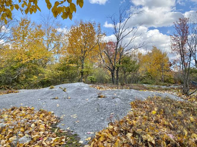
2.3 mi Easy Loop Add to Trailmix: Log in to create a Trailmix What are Trailmixes? Big Rocks Loop Westfield, Pennsylvania 0
1.1 mi Easy One-Way Add to Trailmix: Log in to create a Trailmix What are Trailmixes? Hollow Run Trail Pittsburgh, Pennsylvania 0
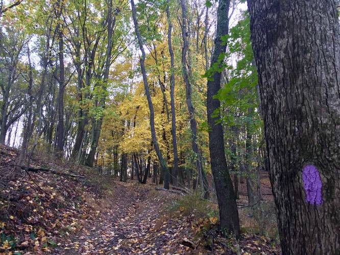
2.4 mi Easy Out-and-Back Add to Trailmix: Log in to create a Trailmix What are Trailmixes? Purple Blaze Trail McCandless, Pennsylvania 0
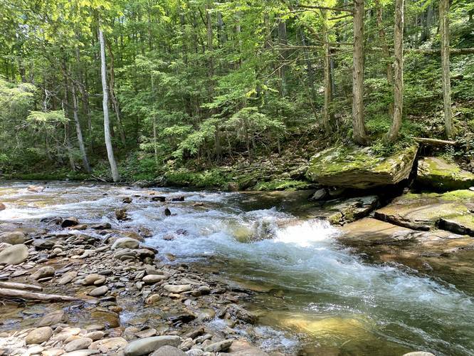
1.9 mi Easy Out-and-Back Add to Trailmix: Log in to create a Trailmix What are Trailmixes? Bear Run Trail Waterfalls Wellsboro, Pennsylvania 0
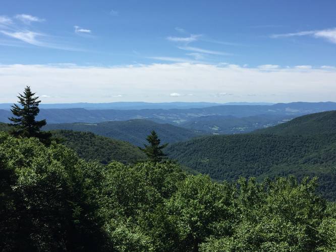
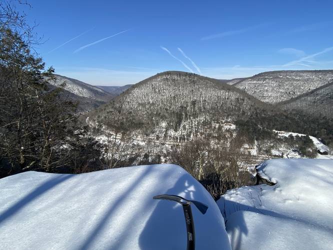
3.7 mi Hard Loop Add to Trailmix: Log in to create a Trailmix What are Trailmixes? Stone Cutter Vista Loop Ramsey, Pennsylvania 5.0