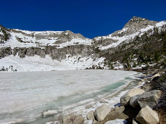
4.6 mi Hard Out-and-Back Add to Trailmix: Log in to create a Trailmix What are Trailmixes? Silver Lake Trail Alpine, Utah 5.0
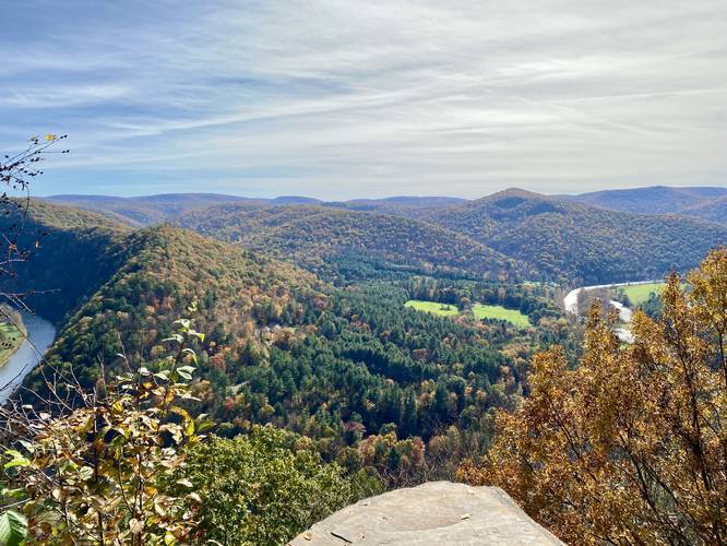
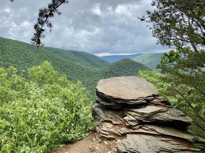
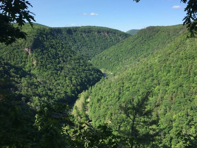
5.0 mi Strenuous Out-and-Back Add to Trailmix: Log in to create a Trailmix What are Trailmixes? Chimney Rock Vista Hike Cedar Run, Pennsylvania 5.0
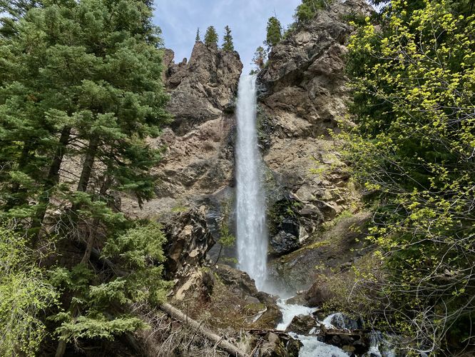
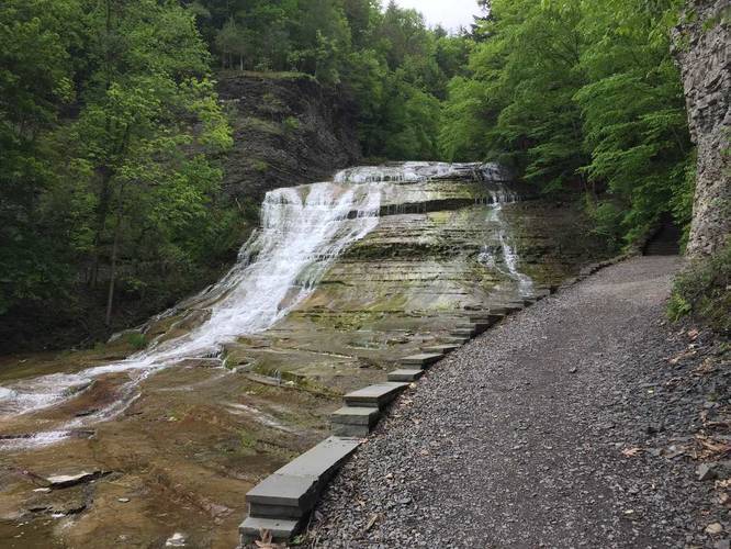
0.8 mi Moderate Out-and-Back Add to Trailmix: Log in to create a Trailmix What are Trailmixes? Treasure Falls Trail Mineral County, Colorado 5.0
1.3 mi Easy Out-and-Back Add to Trailmix: Log in to create a Trailmix What are Trailmixes? Barbour Rock Accessible Trail Wellsboro, Pennsylvania 5.0
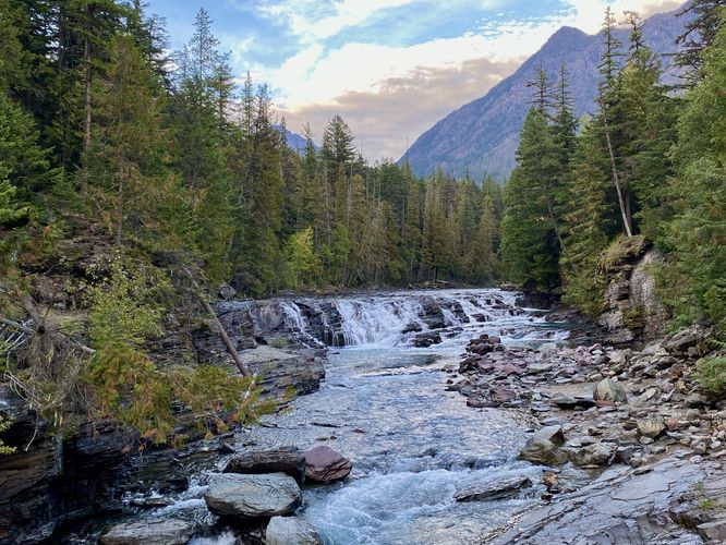
1.2 mi Easy Out-and-Back Add to Trailmix: Log in to create a Trailmix What are Trailmixes? Sacred Dancing Casacde and McDonald Falls West Glacier, Montana 5.0
9.9 mi Strenuous Loop Add to Trailmix: Log in to create a Trailmix What are Trailmixes? Golden Eagle Trail Cammal, Pennsylvania 5.0
1.0 mi Moderate Loop Add to Trailmix: Log in to create a Trailmix What are Trailmixes? Barbour Rock Trail Wellsboro, Pennsylvania 5.0
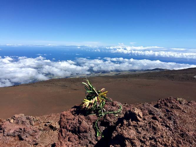
0.3 mi Easy Loop Add to Trailmix: Log in to create a Trailmix What are Trailmixes? Haleakala Red Hill Summit Trail Kula, Hawaii 4.0
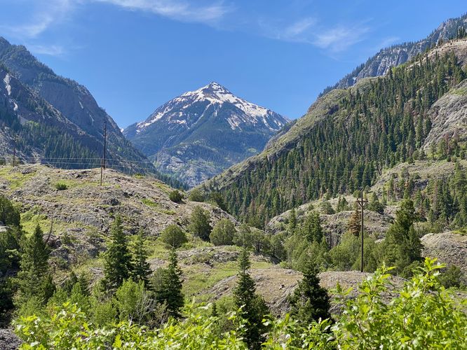
0.1 mi Easy Out-and-Back Add to Trailmix: Log in to create a Trailmix What are Trailmixes? Switzerland of America Lookout Point Ouray, Colorado 5.0
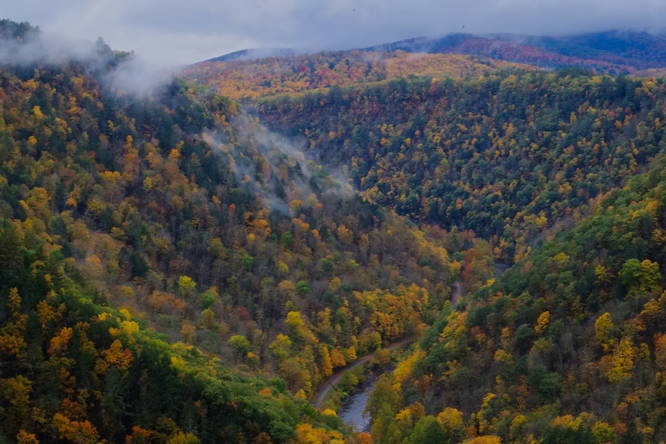
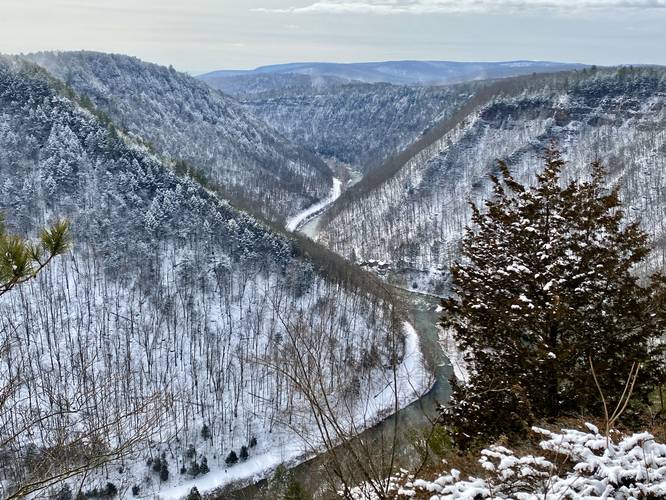
1.5 mi Easy Loop Add to Trailmix: Log in to create a Trailmix What are Trailmixes? Rim Trail Wellsboro, Pennsylvania 5.0
1.0 mi Hard One-Way Add to Trailmix: Log in to create a Trailmix What are Trailmixes? Buttermilk Falls Gorge Trail Ithaca, New York 5.0
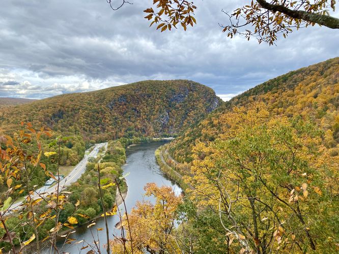
4.7 mi Moderate Loop Add to Trailmix: Log in to create a Trailmix What are Trailmixes? Mt. Minsi via Appalachian Trail Delaware Water Gap, Pennsylvania 5.0