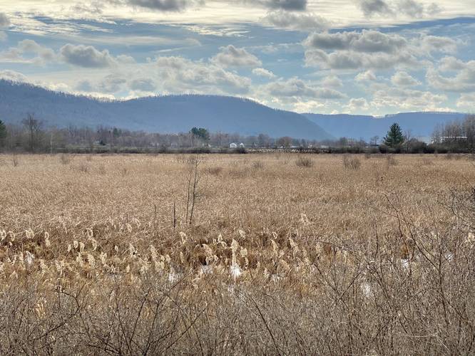
2.5 mi Easy Out-and-Back Add to Trailmix: Log in to create a Trailmix What are Trailmixes? Big Flats Rail Trail Big Flats, New York 3.0
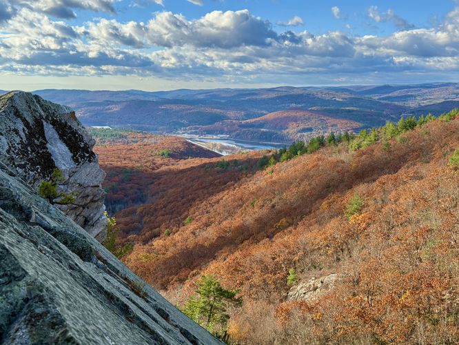
3.9 mi Moderate Out-and-Back Add to Trailmix: Log in to create a Trailmix What are Trailmixes? Mt. Wantastiquet & Madame Sherri's Castle Chesterfield, New Hampshire 5.0
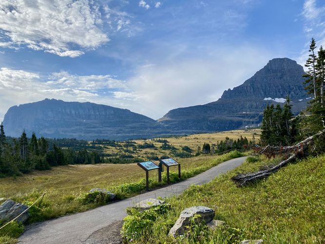
0.4 mi Easy Loop Add to Trailmix: Log in to create a Trailmix What are Trailmixes? Logan Pass Accessible Loop Saint Mary, Montana 4.0
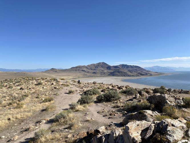
1.0 mi Moderate Loop Add to Trailmix: Log in to create a Trailmix What are Trailmixes? Buffalo Point Trail Syracuse, Utah 5.0
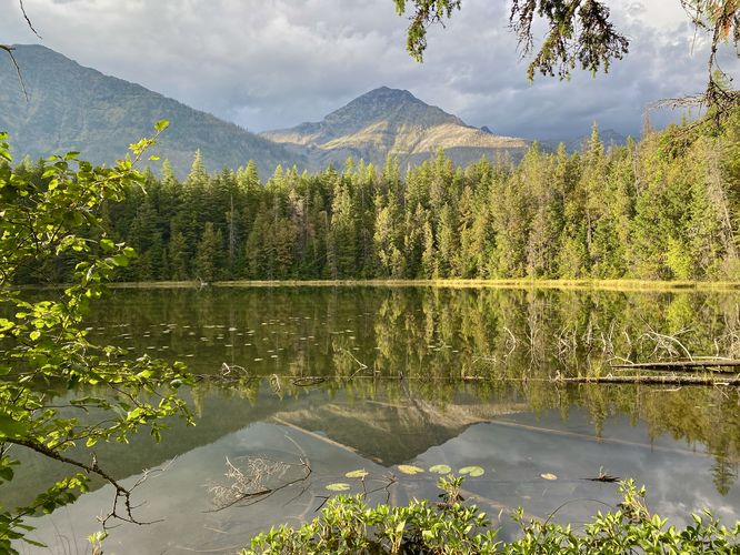
1.1 mi Easy Out-and-Back Add to Trailmix: Log in to create a Trailmix What are Trailmixes? Johns Lake Trail West Glacier, Montana 4.0
0.2 mi Easy Out-and-Back Add to Trailmix: Log in to create a Trailmix What are Trailmixes? Hidden Falls Trail Salt Lake City, Utah 5.0
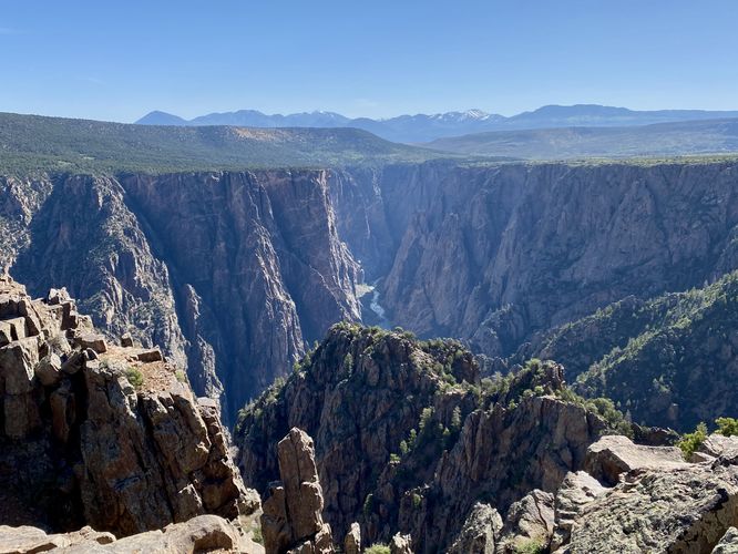
1.6 mi Moderate Out-and-Back Add to Trailmix: Log in to create a Trailmix What are Trailmixes? Warner Point Trail Montrose, Colorado 5.0
2.9 mi Moderate Out-and-Back Add to Trailmix: Log in to create a Trailmix What are Trailmixes? Cobble Hill Trail Lake Placid, New York 4.0
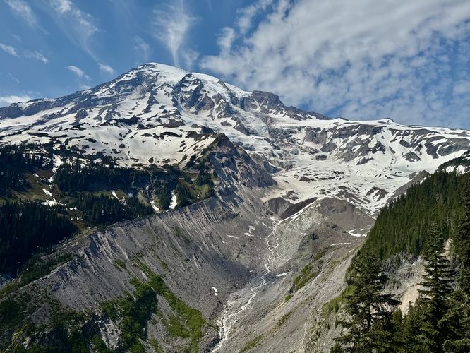
1.1 mi Easy Loop Add to Trailmix: Log in to create a Trailmix What are Trailmixes? Nisqually Vista Trail Ashford, Washington 5.0
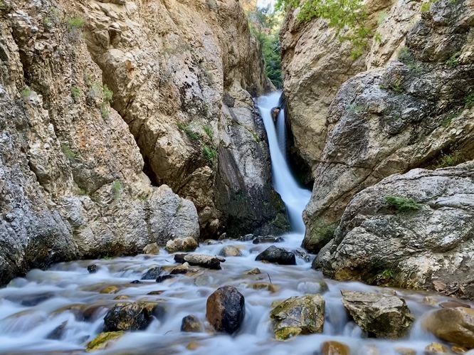
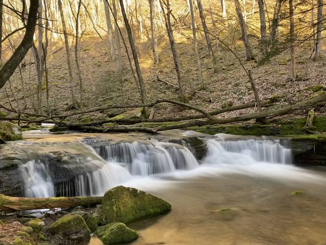
0.1 mi Easy Out-and-Back Add to Trailmix: Log in to create a Trailmix What are Trailmixes? Brooks Run Falls Austin, Pennsylvania 3.0
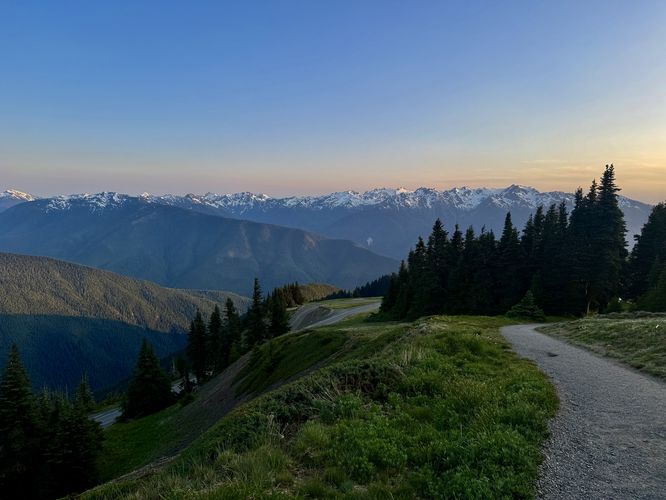
0.9 mi Moderate Loop Add to Trailmix: Log in to create a Trailmix What are Trailmixes? Sunrise Point Loop Port Angeles, Washington 4.0
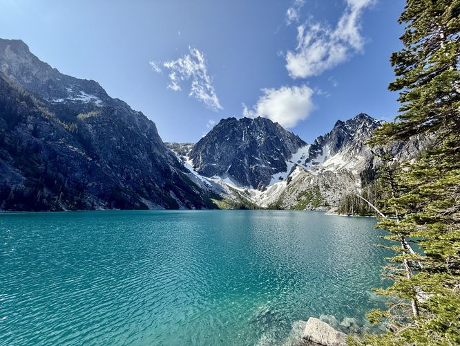
8.0 mi Hard Out-and-Back Add to Trailmix: Log in to create a Trailmix What are Trailmixes? Colchuck Lake Hike Leavenworth, Washington 5.0