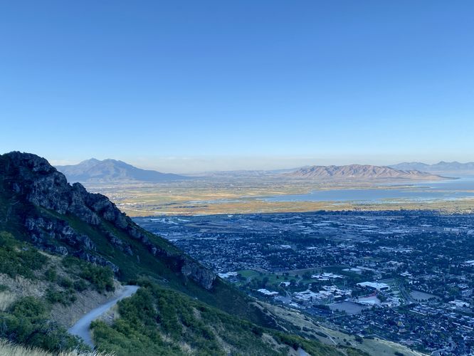
2.2 mi Hard Out-and-Back Add to Trailmix: Log in to create a Trailmix What are Trailmixes? The Y Trail Provo, Utah 5.0
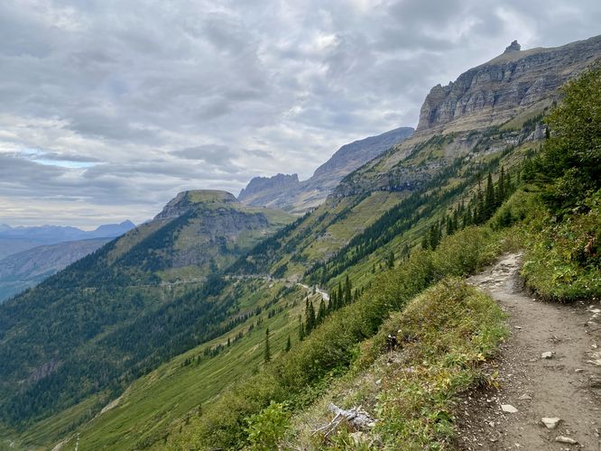
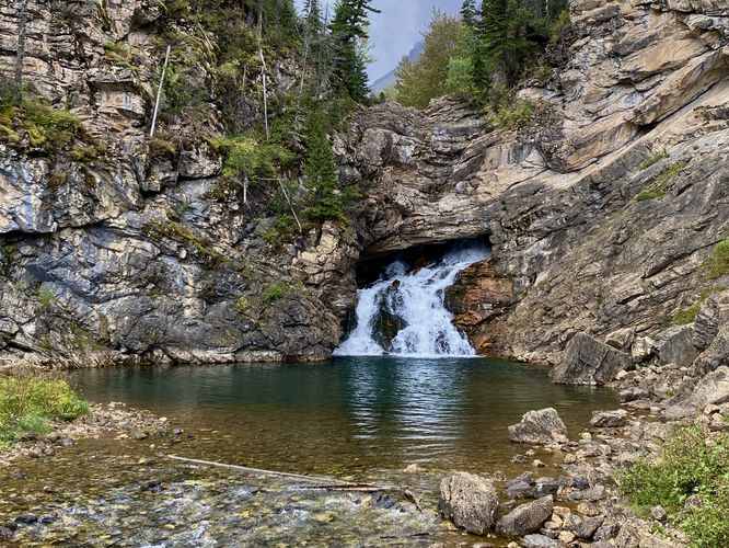
2.1 mi Easy Out-and-Back Add to Trailmix: Log in to create a Trailmix What are Trailmixes? Highline Trail to Oberlin Falls Lookout Saint Mary, Montana 5.0
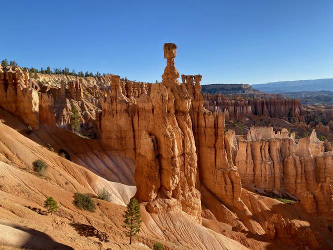
3.4 mi Moderate Loop Add to Trailmix: Log in to create a Trailmix What are Trailmixes? Queen's Garden & Navajo Loop Bryce Canyon City, Utah 5.0
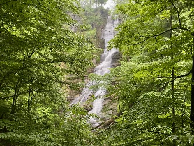
0.3 mi Moderate Out-and-Back Add to Trailmix: Log in to create a Trailmix What are Trailmixes? Pratt's Falls Trail Pompey, New York 4.0
1.0 mi Easy Loop Add to Trailmix: Log in to create a Trailmix What are Trailmixes? Trail of the Cedars West Glacier, Montana 5.0
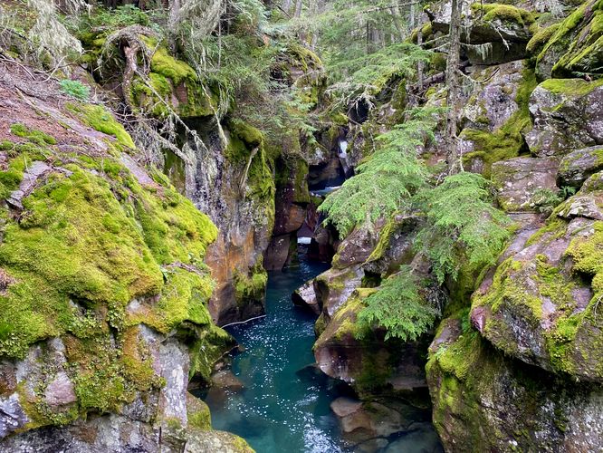
0.7 mi Easy Loop Add to Trailmix: Log in to create a Trailmix What are Trailmixes? Running Eagle Falls Nature Trail East Glacier Park, Montana 5.0
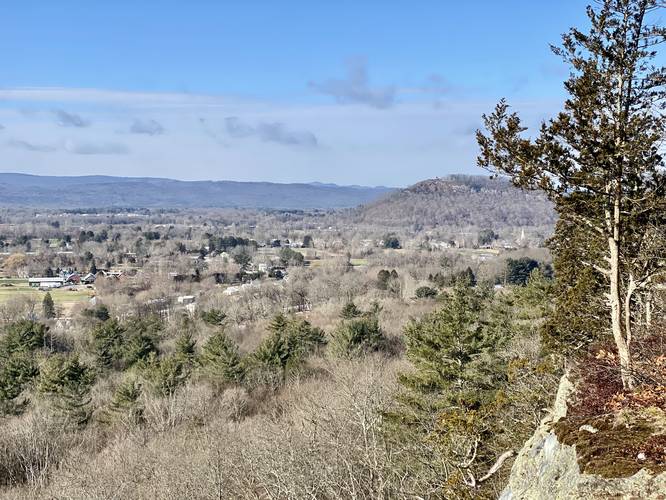
0.5 mi Easy Out-and-Back Add to Trailmix: Log in to create a Trailmix What are Trailmixes? Sunderland Cliff Vista Sunderland, Massachusetts 4.0
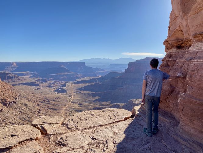
0.3 mi Easy Out-and-Back Add to Trailmix: Log in to create a Trailmix What are Trailmixes? Shafer Canyon Overlook Trail Moab, Utah 5.0
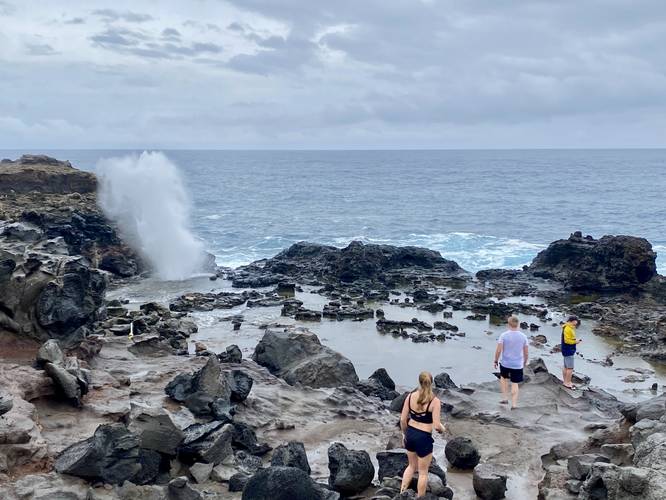
0.5 mi Moderate Out-and-Back Add to Trailmix: Log in to create a Trailmix What are Trailmixes? Nakalele Blowhole Trail Kahakuloa, Hawaii 4.0
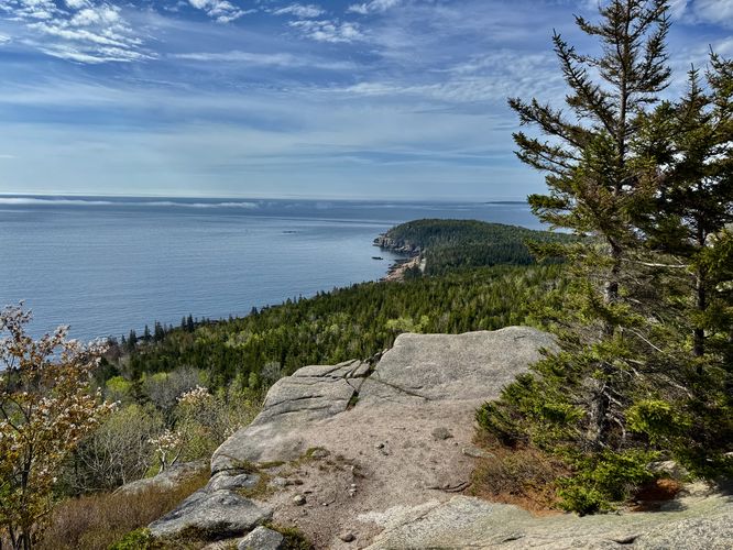
1.8 mi Moderate Out-and-Back Add to Trailmix: Log in to create a Trailmix What are Trailmixes? Gorham Mountain and Cadillac Cliffs Hike Bar Harbor, Maine 4.0
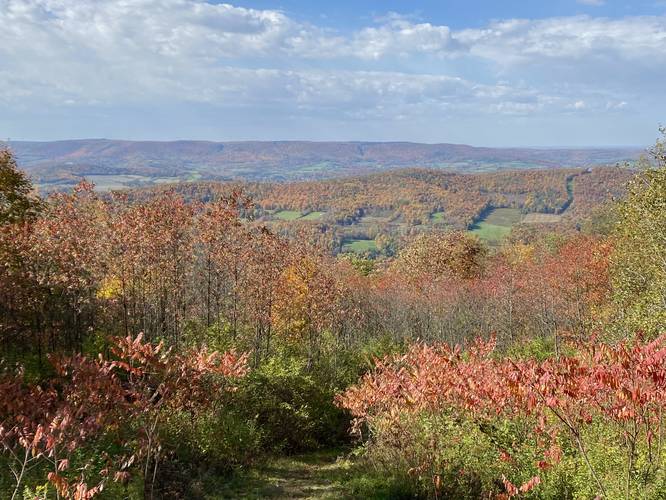
7.0 mi Moderate Out-and-Back Add to Trailmix: Log in to create a Trailmix What are Trailmixes? Mount Pisgah Troy, Pennsylvania 5.0
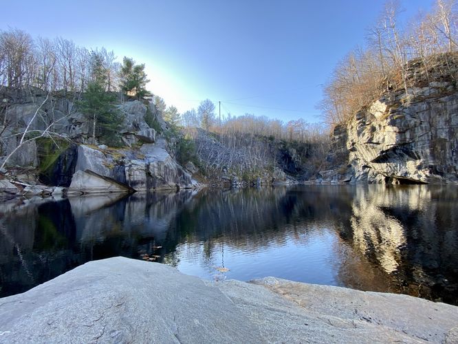
1.5 mi Easy Out-and-Back Add to Trailmix: Log in to create a Trailmix What are Trailmixes? Becket Quarry Hike Becket, Massachusetts 4.0