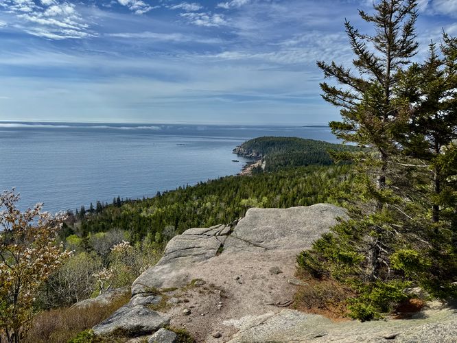
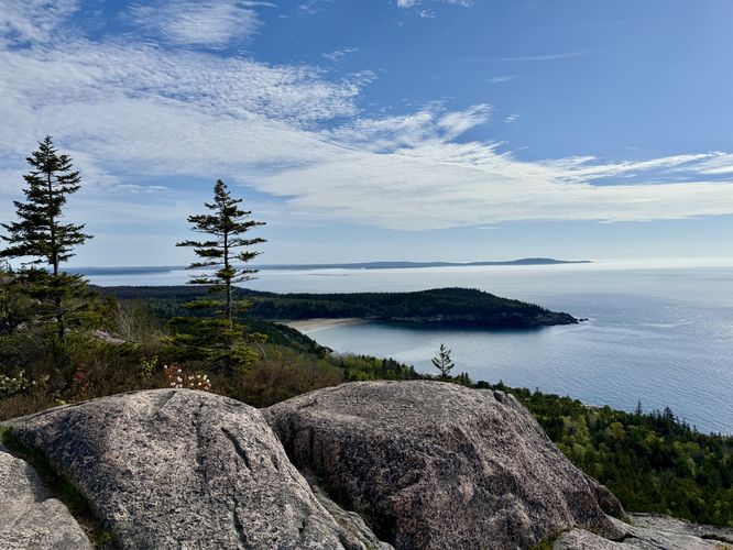
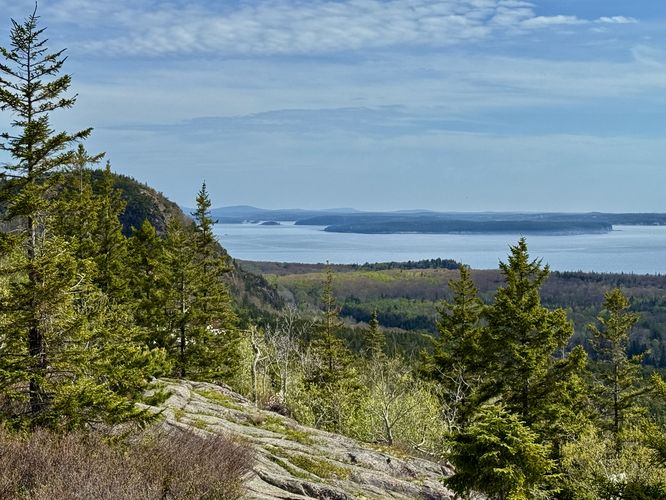
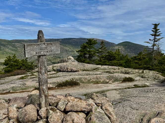
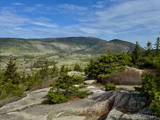
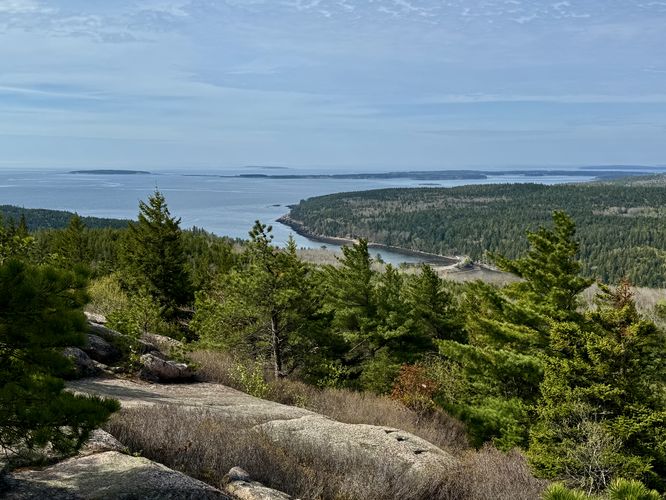
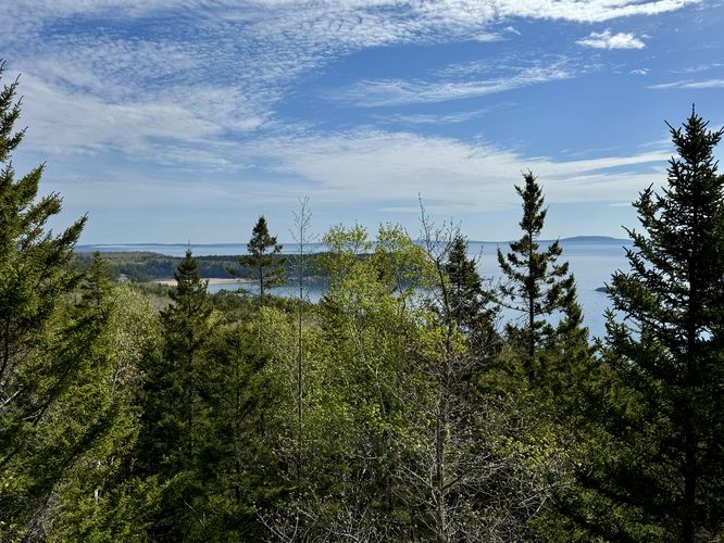
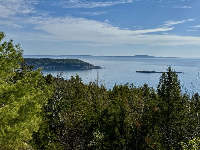
The Gorham Mountain and Cadillac Cliffs hike at Acadia National Park near Bar Harbor, Maine is a moderate 1.8-mile out-and-back hike that leads to the summit of Gorham Mountain and features views and rocky cliff outcroppings.
Gorham Mountain and Cadillac Cliffs Hike
Know Before You Go
Interactive topographic map for Gorham Mountain and Cadillac Cliffs Hike located in Bar Harbor, ME. Click the "View Map" button to load GPS coordinates and trail markers.
View map
Get directions
- Distance
- 1.8 mi
- Difficulty
- Moderate
- Type
- Out-and-Back
- Est. Time
- 54 min
- Elev. Gain
- 437'
- Rating
- 4.0
- Added
- May 15, 2025
- Updated
- May 18, 2025
Weather Forecast
Don't let Google decide who you trust.


Loading...
<strong>Trail map and elevation chart not rendering in print mode?</strong> Simply scroll to the trail map section, then try printing again!
Total Change
449 ft.
137 m
137 m
Ascent
437 ft.
133 m
133 m
Descent
426 ft.
130 m
130 m
Loading...
Features
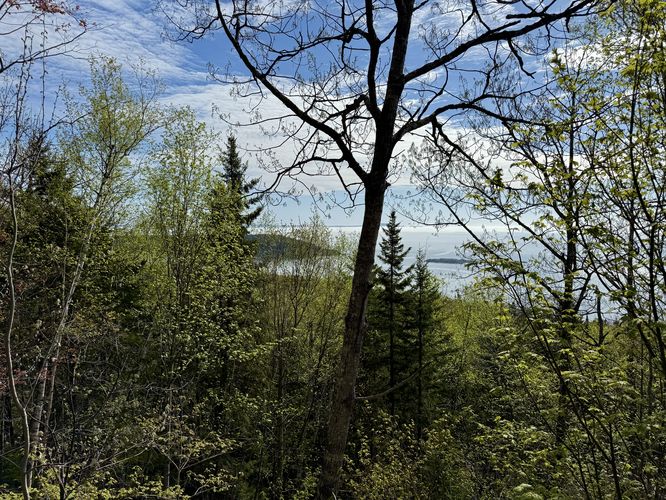
- Vista / Lookout Point
- Dogs
- Mountain Summit
Points of interest
-
Parking
44.316804, -68.191545 -
Main Trailhead
44.316587, -68.191741 -
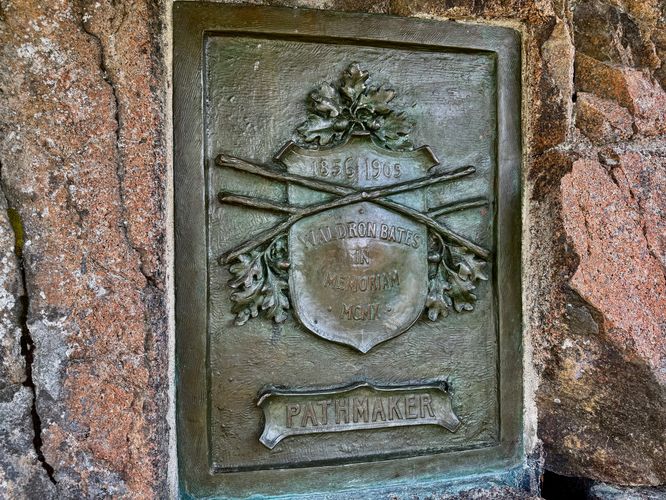
"Pathmaker" Waldron Bates (1856 - 1909) memorial plaque
44.318956, -68.192719 -
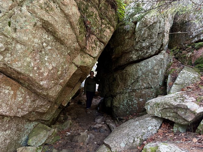
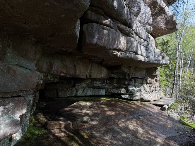
Short rock tunnel
44.320514, -68.192131

-
Parking
44.316804, -68.191545 -
Main Trailhead
44.316587, -68.191741
Safety information
For your own safety: plan ahead, let someone know where you'll be, and hike at your own risk.
Hazards
Poison Ivy or Poison Oak
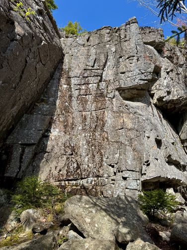
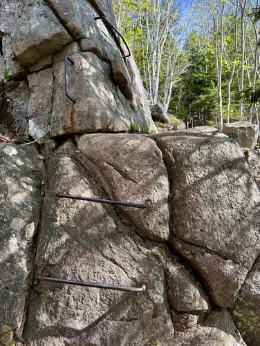
Rockfalls, Ledges, or Scrambles
Markers
Blaze Color
Blue
0000cc
Availability
All seasons
Surface type
Dirt
Trip Reports (Reviews)
Ready to help fellow hikers? Add a trip report to share your experience!
1.8
miles
/ 2.9 km
May 15, 2025
Hiking
No community routes found. To add your own hike as a Community Route for this Trail guide, leave a Trip Report with an attached GPX file.


You may also like

Explore
Best of the Alps: Hiking, Adventure & Scenery
Plan your ultimate European Alps adventure! Discover the best hiking trails, epic scenery, and villages in the Swiss Alps, Dolomites, Chamonix, and Lake Como.

Explore
Colorado's Million Dollar Highway
Plan a day's drive adventure along the iconic Million Dollar Highway in Colorado. Explore the best short trails, roadside stops, waterfalls, vistas, ghost towns, and hot springs within a ~6 hour road trip.

Explore
Glacier's Going-to-the-Sun Road
Discover the breathtaking beauty of Glacier National Park along the iconic Going-to-the-Sun Road. From stunning roadside stops to picturesque waterfalls and vistas, this engineering marvel offers endless opportunities for exploration.

Explore
Hike Washington's National Parks & Forests
Find the best day hikes in Washington's National Parks and Forests. Explore panoramic alpine vistas, turquoise lakes, and stunning waterfalls.
acadia national park

