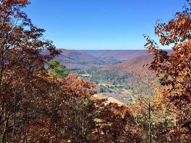
4.5 mi Hard Out-and-Back Add to Trailmix: Log in to create a Trailmix What are Trailmixes? Mt. Tom Service Road to Vista Trail Wellsboro, Pennsylvania 5.0
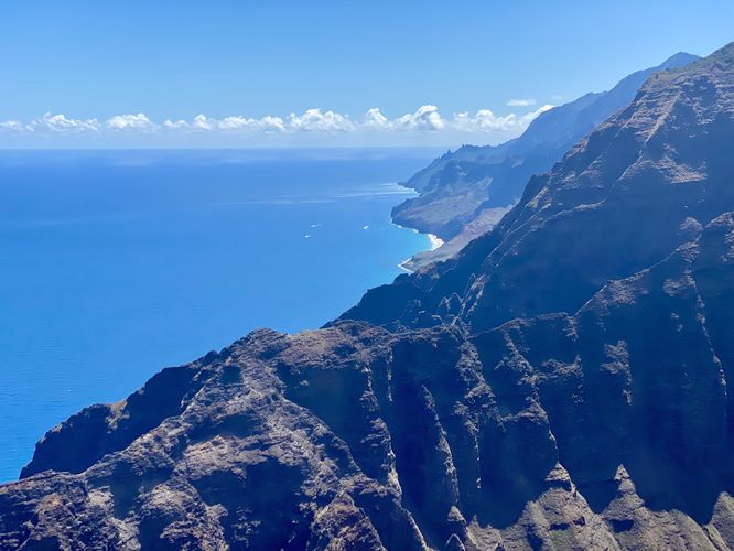
8.0 mi Hard Out-and-Back Add to Trailmix: Log in to create a Trailmix What are Trailmixes? Nu'alolo Trail Wainiha, Hawaii 4.0
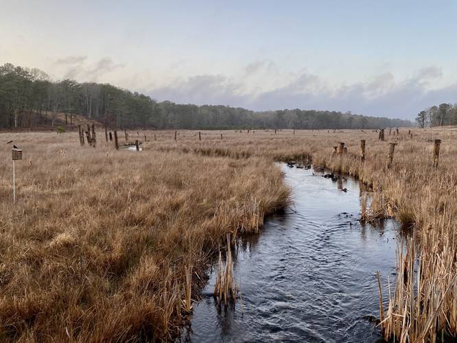
1.0 mi Easy Loop Add to Trailmix: Log in to create a Trailmix What are Trailmixes? Coonamessett River Loop Falmouth, Massachusetts 5.0
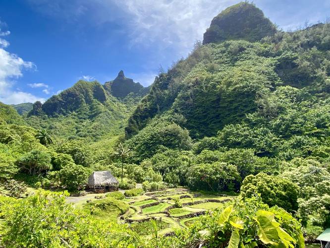
0.9 mi Easy Loop Add to Trailmix: Log in to create a Trailmix What are Trailmixes? Limahuli Gardens Loop Hanalei, Hawaii 5.0
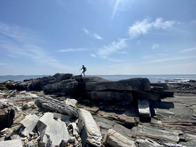
0.1 mi Easy Out-and-Back Add to Trailmix: Log in to create a Trailmix What are Trailmixes? Whaleback Ledge Peaks Island, Maine 5.0
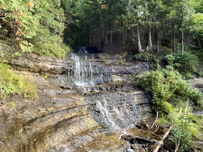
0.1 mi Easy Out-and-Back Add to Trailmix: Log in to create a Trailmix What are Trailmixes? Alger Falls Munising, Michigan 4.0
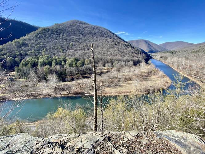
1.7 mi Hard Out-and-Back Add to Trailmix: Log in to create a Trailmix What are Trailmixes? Pine Cliff Vista via Bob Webber Trail Cammal, Pennsylvania 4.0
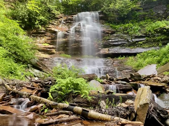
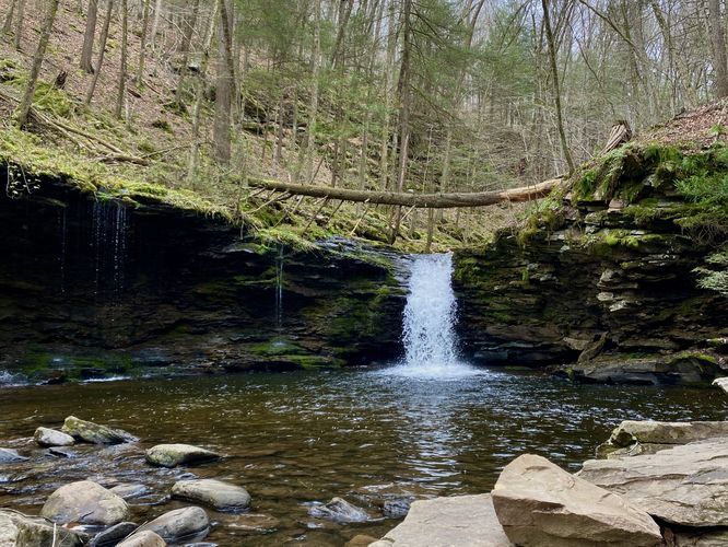
1.6 mi Hard Out-and-Back Add to Trailmix: Log in to create a Trailmix What are Trailmixes? Bradford Falls and Lower Falls Canton, Pennsylvania 5.0
1.2 mi Moderate Loop Add to Trailmix: Log in to create a Trailmix What are Trailmixes? Cottonwood Falls Loop Forksville, Pennsylvania 5.0
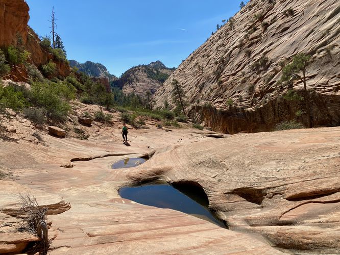
1.0 mi Moderate Out-and-Back Add to Trailmix: Log in to create a Trailmix What are Trailmixes? Many Pools Hike Washington County, Utah 5.0
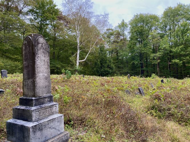
0.4 mi Easy Out-and-Back Add to Trailmix: Log in to create a Trailmix What are Trailmixes? Fall Brook Cemetery Blossburg, Pennsylvania 4.0
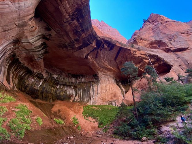
5.3 mi Moderate Out-and-Back Add to Trailmix: Log in to create a Trailmix What are Trailmixes? Taylor Creek Trail New Harmony, Utah 5.0