The Coonamessett River Loop at Coonamessett Greenway Heritage Trail in Falmouth, Massachusetts is an easy 1-mile loop hike that features views of the river along a universally-accessible path.
Hike Description
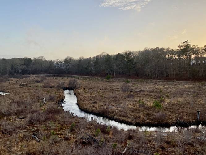
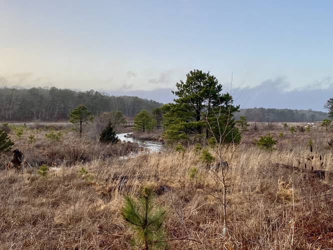
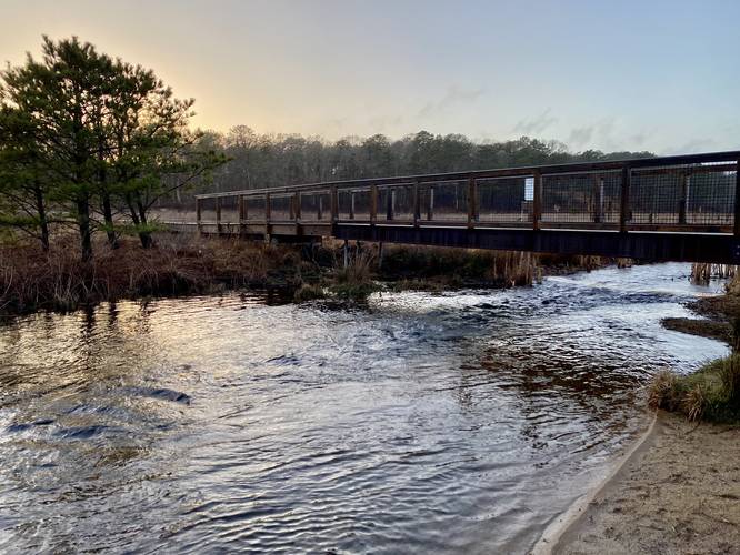
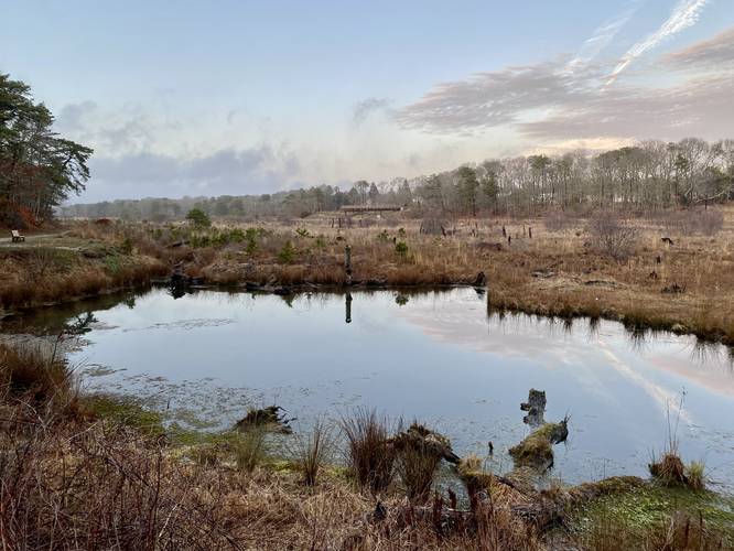
This hike begins at the main parking lot for the Gateway to the Greenway, located at the coordinates provided along John Parker Road in Falmouth. First, this GPS track follows the half-circle bridge that juts out high above the Coonamessett River for a stunning view of the valley. Then it follows the switchbacks of the gravel path as it leads down to the main trail below. From the main trail, this hike heads north along the Coonamessett River.
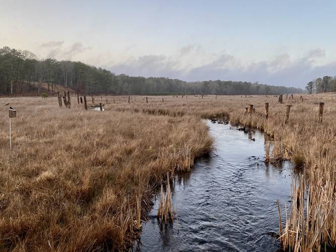
Swift's Crossing - Mile 0.35
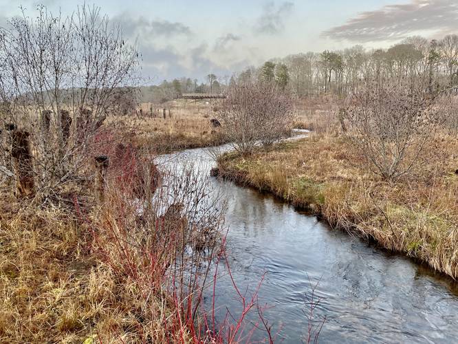
At mile 0.3, the first left-hand turn, head down this path which leads to the scenic Swift's Crossing. Here you can get a nice view of the Coonamessett River from the banks before crossing the river at mile 0.35.
After crossing the river and taking in the views along the way, take a left-hand turn to continue along the loop.
Metal Praying Mantis - Mile 0.65
Eventually the trail will curve back toward parking, but before crossing the next bridge, look for a large brown and metal praying mantis bug sitting in the grasses off-trail (as of April 2023).
Dexter's Mill Crossing - Mile 0.7
Around mile 0.7, or slightly before if you stay on-trail, you'll cross the Coonamessett River once more, but this time at Dexter's Mill Crossing. The trail will then lead to another parking lot by hiking straight.
At the parking lot take a left-hand turn to return to the switchback path that lead down from the main parking area at the Gateway to the Greenway.
Parking
This hike begins at the Gateway to the Greenway, located at the parking coordinates provided along John Parker Road in Falmouth. The lot is large enough to fit about a dozen vehicles and the lots are separated a bit, as of April 2023.
Pets
Dogs are allowed if leashed and must be cleaned up after.
Hike Description
This hike begins at the main parking lot for the Gateway to the Greenway, located at the coordinates provided along John Parker Road in Falmouth. First, this GPS track follows the half-circle bridge that juts out high above the Coonamessett River for a stunning view of the valley. Then it follows the switchbacks of the gravel path as it leads down to the main trail below. From the main trail, this hike heads north along the Coonamessett River.
Swift's Crossing - Mile 0.35
At mile 0.3, the first left-hand turn, head down this path which leads to the scenic Swift's Crossing. Here you can get a nice view of the Coonamessett River from the banks before crossing the river at mile 0.35.
After crossing the river and taking in the views along the way, take a left-hand turn to continue along the loop.
Metal Praying Mantis - Mile 0.65
Eventually the trail will curve back toward parking, but before crossing the next bridge, look for a large brown and metal praying mantis bug sitting in the grasses off-trail (as of April 2023).
Dexter's Mill Crossing - Mile 0.7
Around mile 0.7, or slightly before if you stay on-trail, you'll cross the Coonamessett River once more, but this time at Dexter's Mill Crossing. The trail will then lead to another parking lot by hiking straight.
At the parking lot take a left-hand turn to return to the switchback path that lead down from the main parking area at the Gateway to the Greenway.
Parking
This hike begins at the Gateway to the Greenway, located at the parking coordinates provided along John Parker Road in Falmouth. The lot is large enough to fit about a dozen vehicles and the lots are separated a bit, as of April 2023.
Pets
Dogs are allowed if leashed and must be cleaned up after.