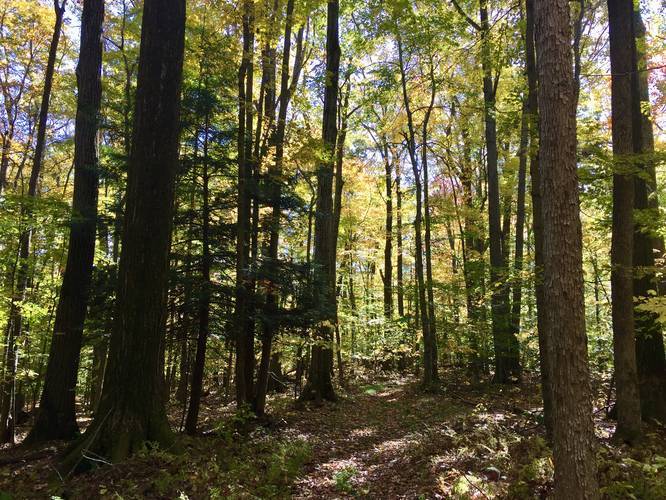
0.2 mi Easy One-Way Add to Trailmix: Log in to create a Trailmix What are Trailmixes? Hog's Back Trail Portville, New York 0
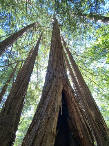
0.5 mi Moderate Loop Add to Trailmix: Log in to create a Trailmix What are Trailmixes? Yellow Loop Scotts Valley, California 0
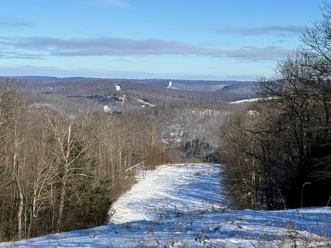
0.3 mi Easy One-Way Add to Trailmix: Log in to create a Trailmix What are Trailmixes? Ski Slope Trail Corning, New York 0
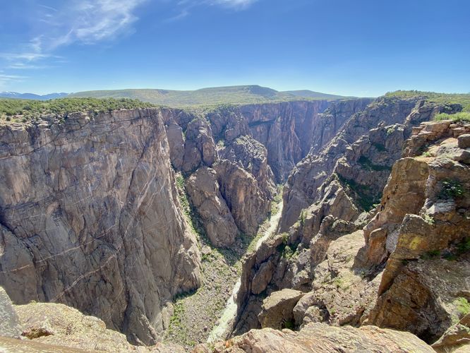
0.1 mi Easy Loop Add to Trailmix: Log in to create a Trailmix What are Trailmixes? Chasm View Trail Montrose, Colorado 0
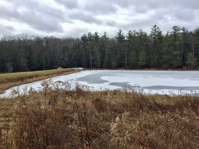
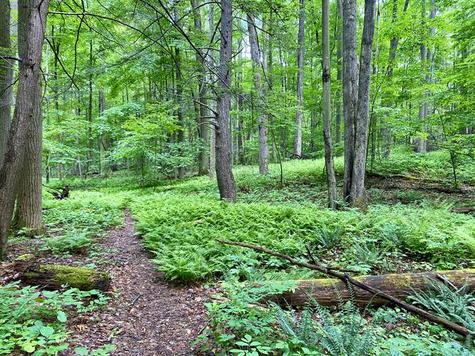
0.4 mi Easy Loop Add to Trailmix: Log in to create a Trailmix What are Trailmixes? Kanakadea Nature Loop Hornell, New York 0
1.2 mi Moderate One-Way Add to Trailmix: Log in to create a Trailmix What are Trailmixes? Orange Trail (Lindsay-Parsons) West Danby, New York 0
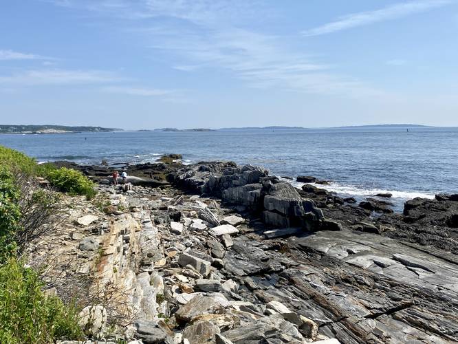
0.1 mi Easy Out-and-Back Add to Trailmix: Log in to create a Trailmix What are Trailmixes? Wharf Cove View Peaks Island, Maine 0
0.9 mi Easy Out-and-Back Add to Trailmix: Log in to create a Trailmix What are Trailmixes? Upper Excelsior Falls via FLT Burdett, New York 0
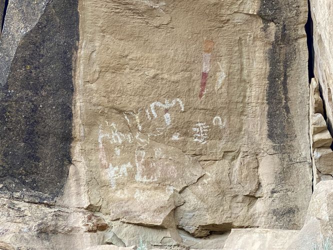
0.1 mi Moderate Out-and-Back Add to Trailmix: Log in to create a Trailmix What are Trailmixes? White Bird Petroglyphs Trail Rangely, Colorado 0
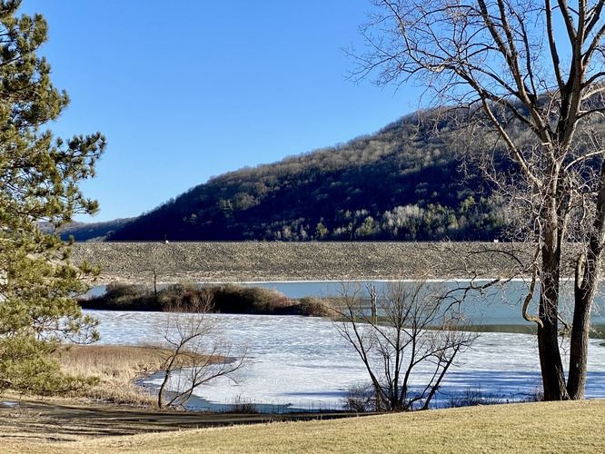
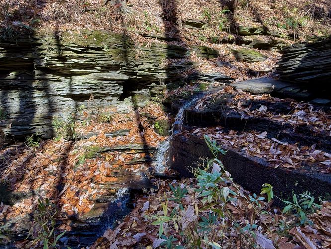
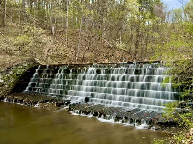
0.1 mi Easy Out-and-Back Add to Trailmix: Log in to create a Trailmix What are Trailmixes? Seven Step Dam Falls Trail Stony Creek Mills, Pennsylvania 0
3.3 mi Moderate Loop Add to Trailmix: Log in to create a Trailmix What are Trailmixes? Elk Run Overlook Loop Marshlands, Pennsylvania 0
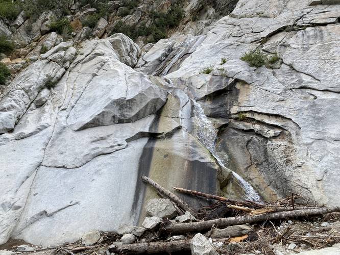
0.3 mi Easy Out-and-Back Add to Trailmix: Log in to create a Trailmix What are Trailmixes? Lisa Falls Trail Granite, Utah 0