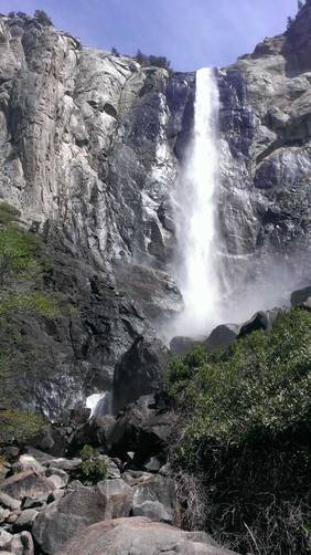
0.9 mi Easy Out-and-Back Add to Trailmix: Log in to create a Trailmix What are Trailmixes? Bridalveil Falls Yosemite Village, California 0
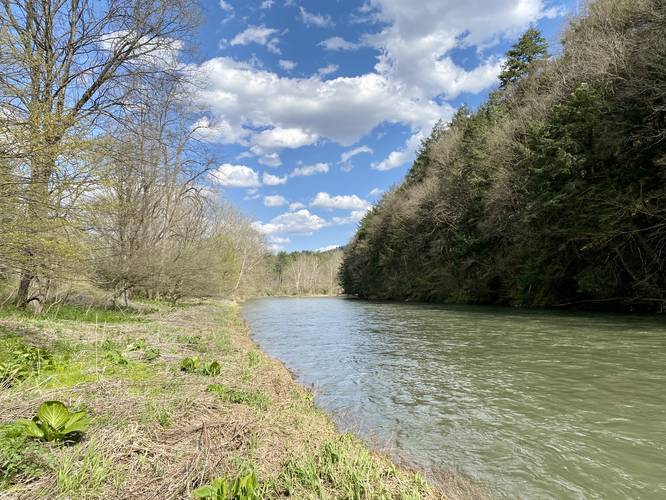
0.4 mi Easy Out-and-Back Add to Trailmix: Log in to create a Trailmix What are Trailmixes? SGL 208 Pine Creek Trail Gaines, Pennsylvania 0
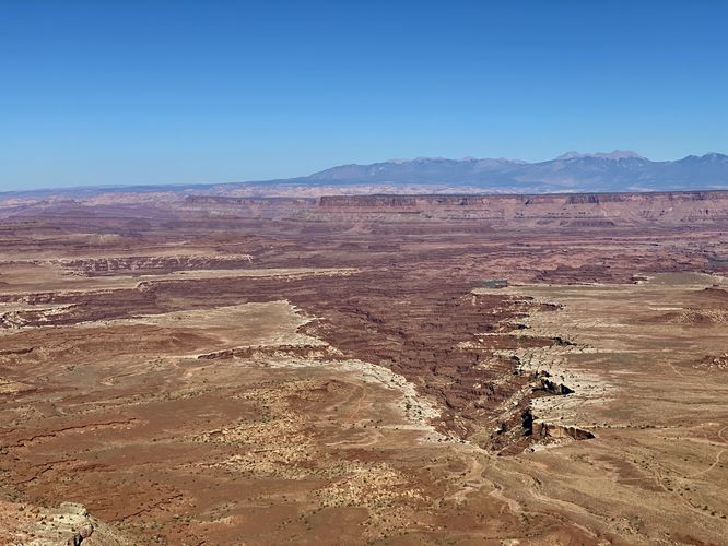
0.1 mi Easy Out-and-Back Add to Trailmix: Log in to create a Trailmix What are Trailmixes? Buck Canyon Overlook Moab, Utah 0
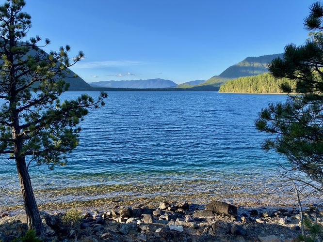
2.2 mi Moderate Out-and-Back Add to Trailmix: Log in to create a Trailmix What are Trailmixes? Rocky Point via Lake McDonald Trail West Glacier, Montana 0
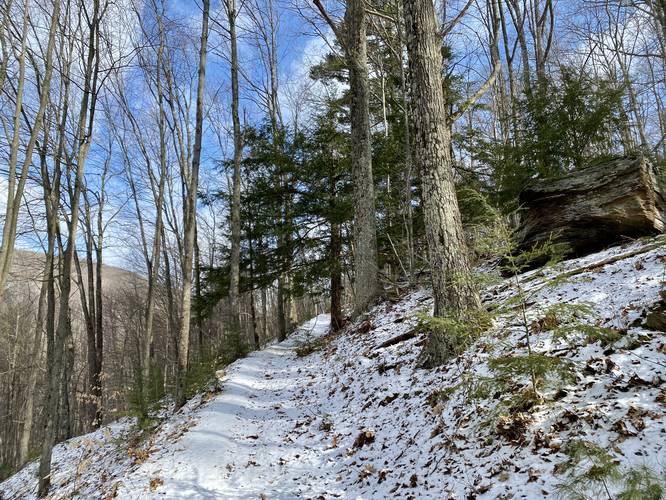
6.3 mi Hard Loop Add to Trailmix: Log in to create a Trailmix What are Trailmixes? Mt. Nessmuk Loop Wellsboro, Pennsylvania 0
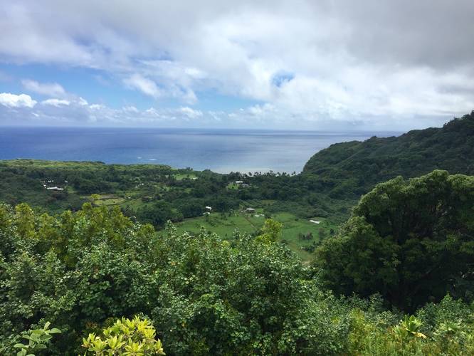
0.1 mi Easy Out-and-Back Add to Trailmix: Log in to create a Trailmix What are Trailmixes? Wailua Valley State Wayside Lookout Trail Maui County, Hawaii 0
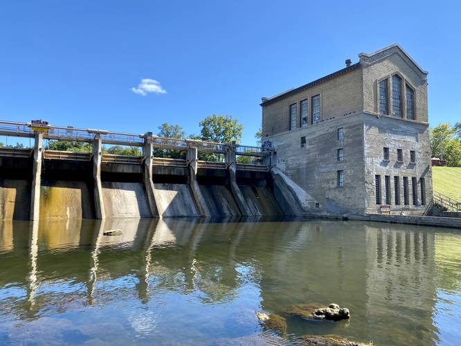
0.5 mi Easy Out-and-Back Add to Trailmix: Log in to create a Trailmix What are Trailmixes? Barton Dam Spillway & Portage Trail Ann Arbor, Michigan 0
0.7 mi Easy Loop Add to Trailmix: Log in to create a Trailmix What are Trailmixes? Big Flats Walking Trail Big Flats, New York 0
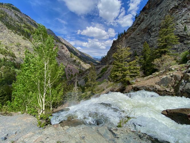
0.1 mi Moderate Out-and-Back Add to Trailmix: Log in to create a Trailmix What are Trailmixes? Uncompahgre Falls Ouray, Colorado 3.0
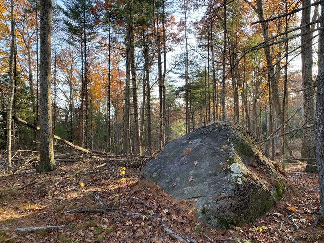
1.2 mi Moderate Out-and-Back Add to Trailmix: Log in to create a Trailmix What are Trailmixes? Gate BL4 Belchertown, Massachusetts 0
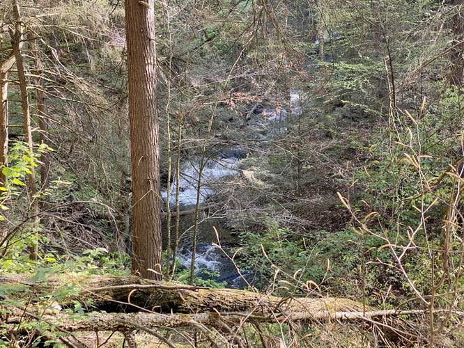
0.3 mi Moderate Out-and-Back Add to Trailmix: Log in to create a Trailmix What are Trailmixes? White Trail (The Gully Preserve) Wayland, New York 0
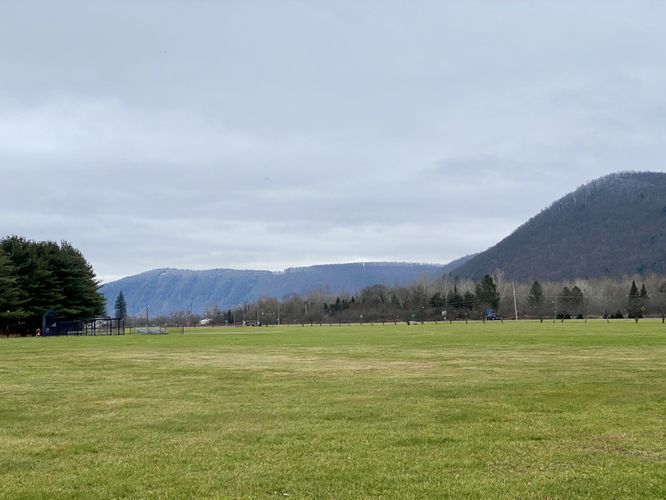
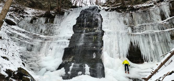
4.0 mi Hard Out-and-Back Add to Trailmix: Log in to create a Trailmix What are Trailmixes? Chimney Hollow Falls Winter Hike Wellsboro, Pennsylvania 0