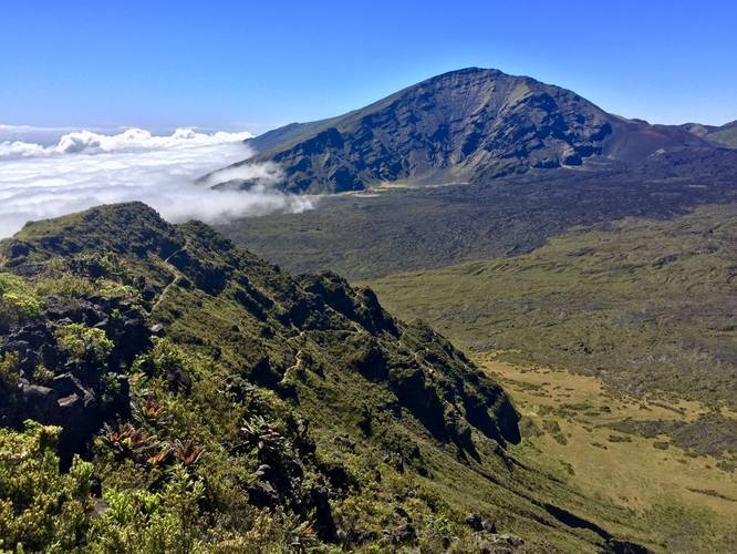
1.6 mi Easy Out-and-Back Add to Trailmix: Log in to create a Trailmix What are Trailmixes? Halemau'u Trail to Haleakala Crater Lookout Kula, Hawaii 5.0
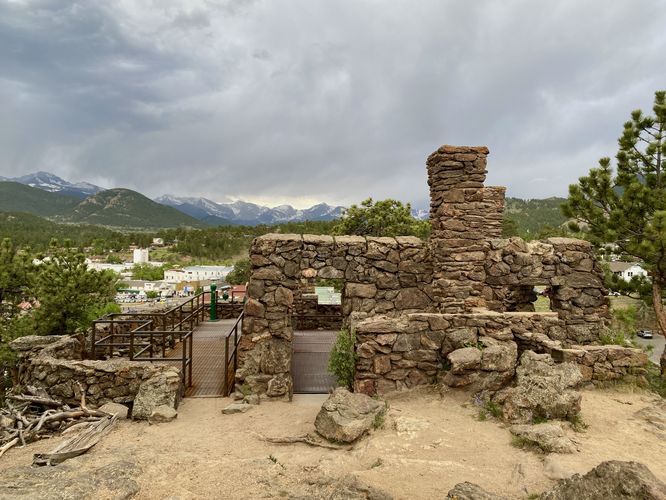
0.4 mi Easy Loop Add to Trailmix: Log in to create a Trailmix What are Trailmixes? Albert Birch Ruins and Cabin Trail Estes Park, Colorado 5.0
0.5 mi Easy Out-and-Back Add to Trailmix: Log in to create a Trailmix What are Trailmixes? Dragon's Teeth Trail Kapalua, Hawaii 4.0
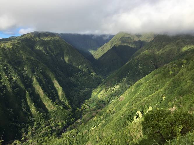
4.4 mi Hard Out-and-Back Add to Trailmix: Log in to create a Trailmix What are Trailmixes? Waihee Ridge Trail Wailuku, Hawaii 5.0
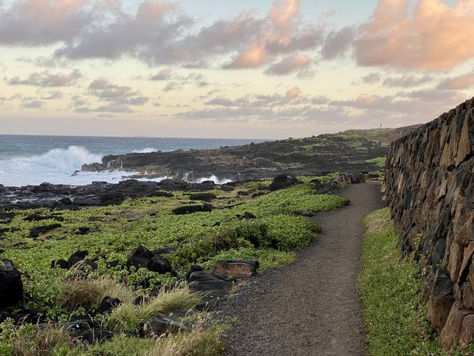
1.8 mi Easy Out-and-Back Add to Trailmix: Log in to create a Trailmix What are Trailmixes? Makahuena Lighthouse via Keoneloa Bay Trail Koloa, Hawaii 5.0
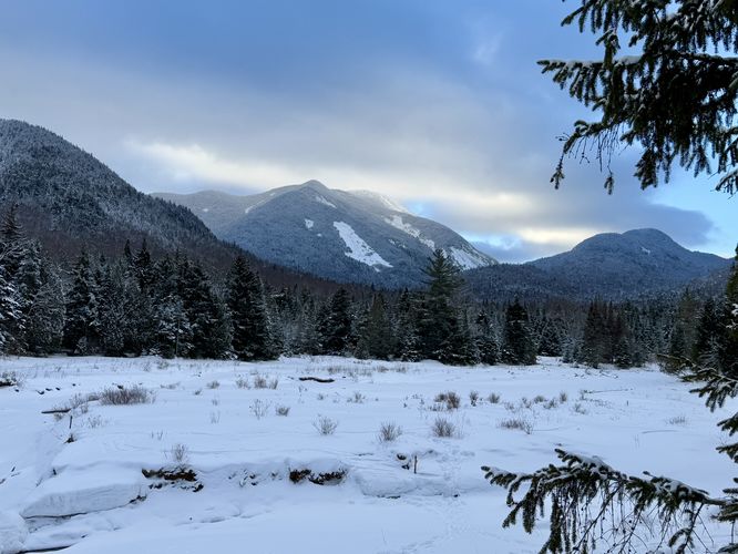
4.6 mi Easy Out-and-Back Add to Trailmix: Log in to create a Trailmix What are Trailmixes? Marcy Dam North Elba, New York 5.0
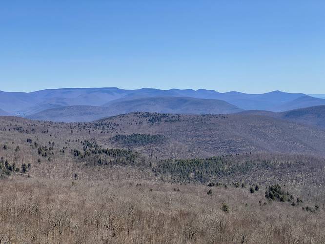
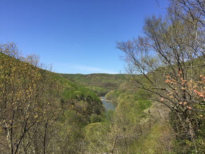
3.4 mi Moderate Out-and-Back Add to Trailmix: Log in to create a Trailmix What are Trailmixes? Giant Ledge Shandaken, New York 5.0
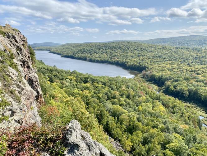
0.4 mi Easy Out-and-Back Add to Trailmix: Log in to create a Trailmix What are Trailmixes? Lake of the Clouds Accessible Overlook Ontonagon, Michigan 5.0
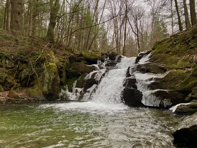
0.2 mi Easy Out-and-Back Add to Trailmix: Log in to create a Trailmix What are Trailmixes? Peck's Falls Trail Adams, Massachusetts 5.0
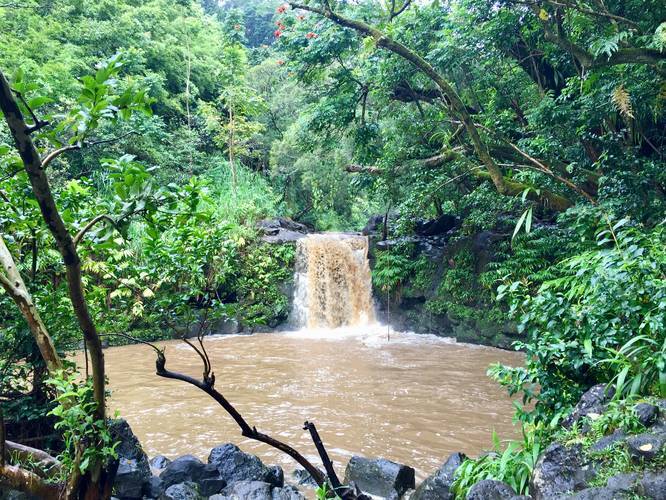
0.1 mi Easy Out-and-Back Add to Trailmix: Log in to create a Trailmix What are Trailmixes? Waikamoi Falls Maui County, Hawaii 4.0
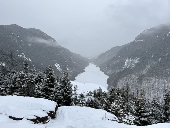
10.1 mi Moderate Out-and-Back Add to Trailmix: Log in to create a Trailmix What are Trailmixes? Indian Head & Rainbow Falls Keene Valley, New York 5.0
0.7 mi Easy Out-and-Back Add to Trailmix: Log in to create a Trailmix What are Trailmixes? Paradise Overlook Trail Mill Run, Pennsylvania 4.0