6.3 mi Hard Loop Add to Trailmix: Log in to create a Trailmix What are Trailmixes? Molly's Knob Hike Marion, Virginia 4.4
4.8 mi Moderate Out-and-Back Add to Trailmix: Log in to create a Trailmix What are Trailmixes? Manassas Gap Hike Fauquier County, Virginia 3.67
6.9 mi Moderate Out-and-Back Add to Trailmix: Log in to create a Trailmix What are Trailmixes? Morrow Mountain and Sugarloaf Mountain Hike Albemarle, North Carolina 0
4.3 mi Moderate Loop Add to Trailmix: Log in to create a Trailmix What are Trailmixes? Patricia Ann Byrom Forest Preserve Hike Crozet, Virginia 3.13
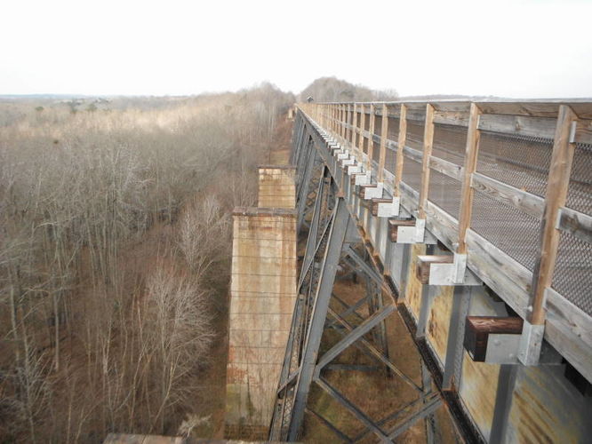
9.7 mi Hard Out-and-Back Add to Trailmix: Log in to create a Trailmix What are Trailmixes? High Bridge Hike Farmville, Virginia 2.5
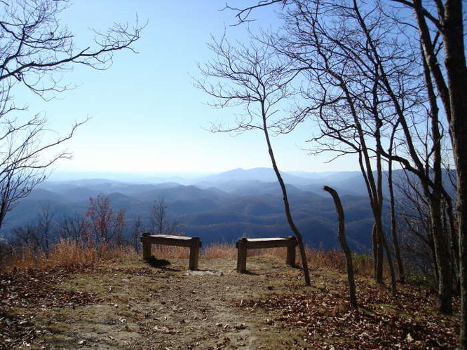
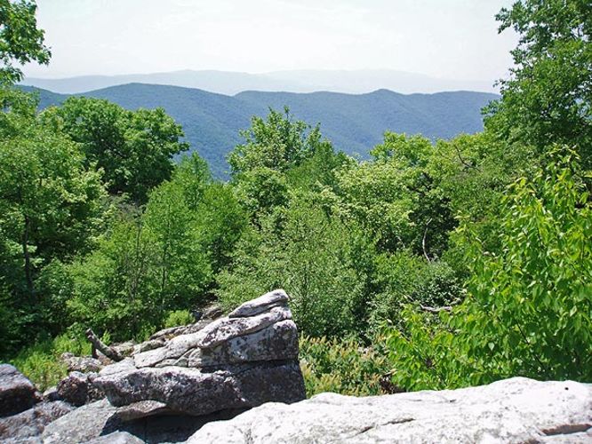
7.0 mi Moderate Out-and-Back Add to Trailmix: Log in to create a Trailmix What are Trailmixes? Hardscrabble Knob Hike West Augusta, Virginia 3.0
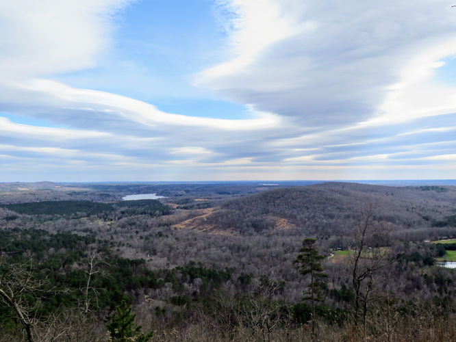
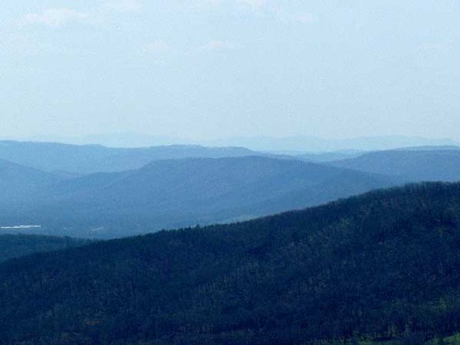
10.8 mi Strenuous Loop Add to Trailmix: Log in to create a Trailmix What are Trailmixes? Great North Mountain Hike Basye, Virginia 3.56
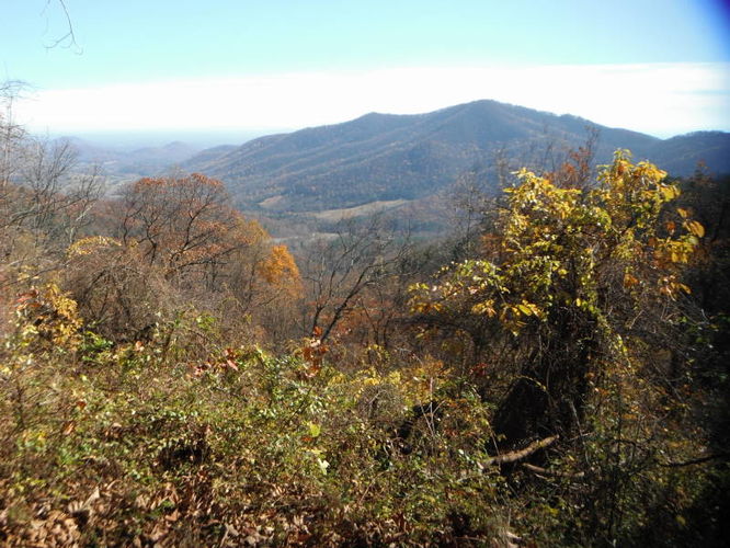
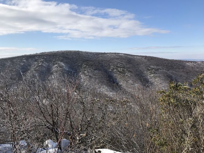
12.7 mi Strenuous Loop Add to Trailmix: Log in to create a Trailmix What are Trailmixes? Little Sluice Hike Alonzaville, Virginia 3.29
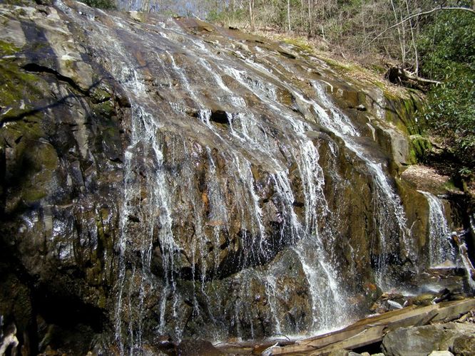
2.4 mi Moderate Out-and-Back Add to Trailmix: Log in to create a Trailmix What are Trailmixes? Glen Burney Falls Hike Blowing Rock, North Carolina 2.0
5.5 mi Moderate Loop Add to Trailmix: Log in to create a Trailmix What are Trailmixes? Little Bennett South Loop Hike Clarksburg, Maryland 0
17.2 mi Hard One-Way Add to Trailmix: Log in to create a Trailmix What are Trailmixes? James River Face Wilderness Hike Sedalia, Virginia 4.0
10.3 mi Moderate Loop Add to Trailmix: Log in to create a Trailmix What are Trailmixes? Thornton River Hike Rileyville, Virginia 3.4