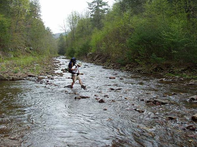
15.8 mi Strenuous Loop Add to Trailmix: Log in to create a Trailmix What are Trailmixes? Ramsey's Draft Hike West Augusta, Virginia 4.03
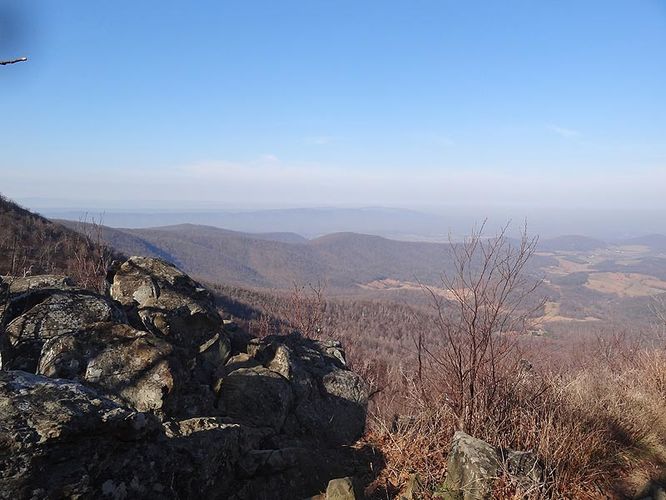
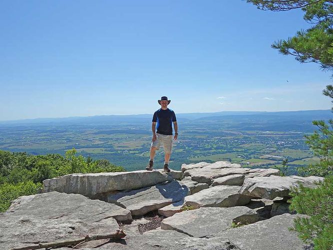
7.0 mi Moderate Loop Add to Trailmix: Log in to create a Trailmix What are Trailmixes? Hogback Mountain Hike Rileyville, Virginia 3.42
8.6 mi Hard Loop Add to Trailmix: Log in to create a Trailmix What are Trailmixes? Trout Pond Hike Rockland, West Virginia 3.6
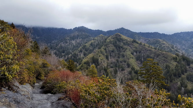
11.9 mi Strenuous Out-and-Back Add to Trailmix: Log in to create a Trailmix What are Trailmixes? Mount LeConte via Alum Cave Trail Gatlinburg, Tennessee 5.0
7.6 mi Moderate Loop Add to Trailmix: Log in to create a Trailmix What are Trailmixes? Sunset Rocks Hike Gardners, Pennsylvania 3.67
10.9 mi Hard Loop Add to Trailmix: Log in to create a Trailmix What are Trailmixes? Mudhole Gap Hike Fort Valley, Virginia 3.58
4.4 mi Moderate Loop Add to Trailmix: Log in to create a Trailmix What are Trailmixes? Trimble Mountain Hike Mount Solon, Virginia 3.33
8.3 mi Moderate Loop Add to Trailmix: Log in to create a Trailmix What are Trailmixes? Indian Grave Ridge Hike Compton, Virginia 3.66
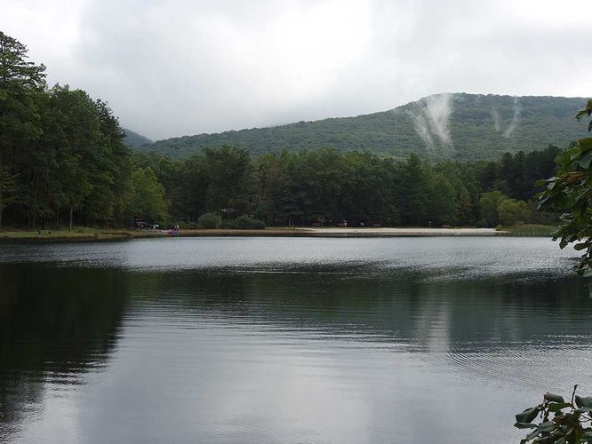
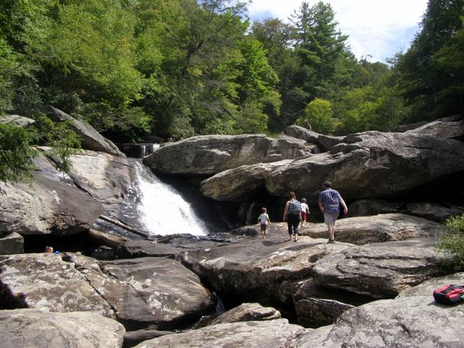
7.7 mi Moderate Loop Add to Trailmix: Log in to create a Trailmix What are Trailmixes? Boone Fork and Price Lake Hike Foscoe, North Carolina 5.0
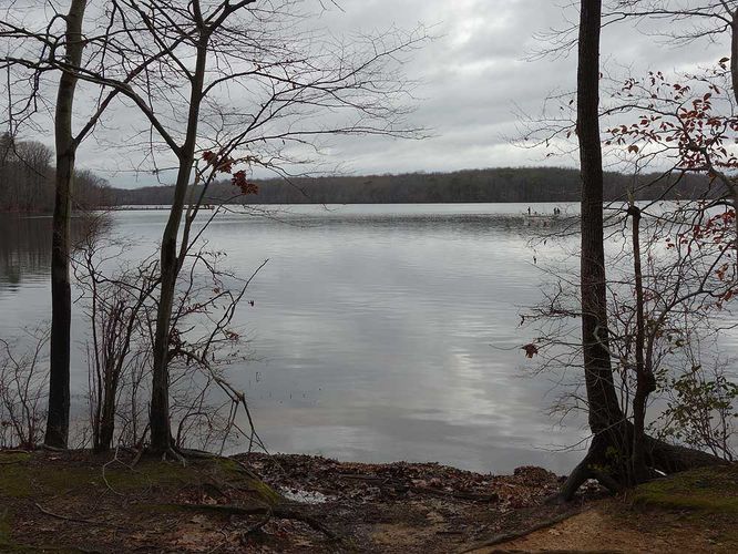
5.2 mi Moderate Loop Add to Trailmix: Log in to create a Trailmix What are Trailmixes? Burke Lake Loop Hike South Run, Virginia 3.5
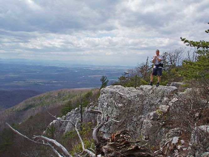
9.5 mi Strenuous Loop Add to Trailmix: Log in to create a Trailmix What are Trailmixes? Rocky Mount Hike Elkton, Virginia 3.32
10.7 mi Hard Out-and-Back Add to Trailmix: Log in to create a Trailmix What are Trailmixes? Browns Hollow Hike Stanley, Virginia 3.77