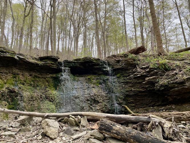
0.2 mi Easy Out-and-Back Add to Trailmix: Log in to create a Trailmix What are Trailmixes? Mid-Falls Trail Upper Saint Clair, Pennsylvania 4.0
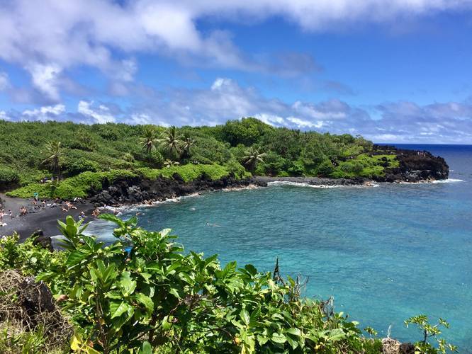
0.7 mi Easy Out-and-Back Add to Trailmix: Log in to create a Trailmix What are Trailmixes? Waianapanapa Black Sand Beach Trail Hana, Hawaii 5.0
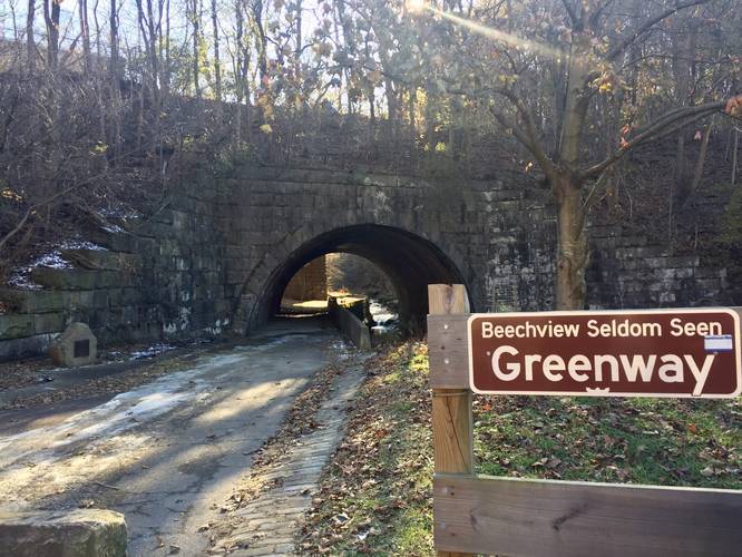
0.5 mi Easy Loop Add to Trailmix: Log in to create a Trailmix What are Trailmixes? Seldom Seen Greenway Loop Pittsburgh, Pennsylvania 5.0
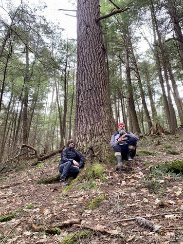
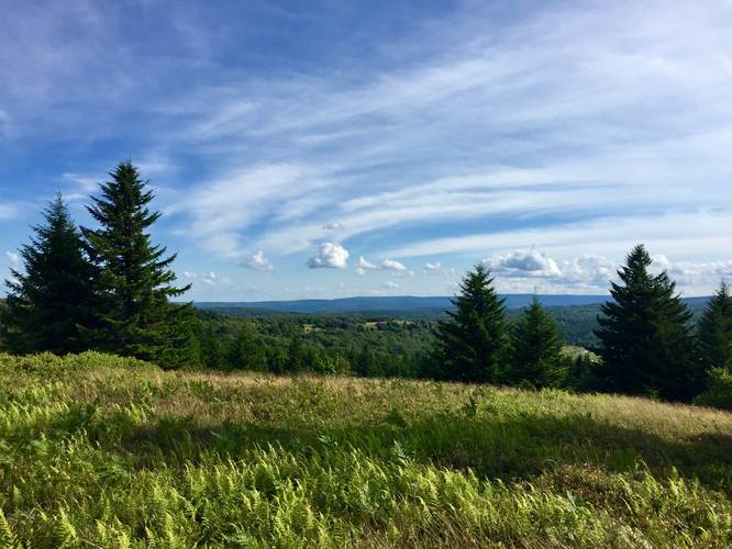
5.9 mi Moderate Out-and-Back Add to Trailmix: Log in to create a Trailmix What are Trailmixes? F. H. Dutlinger Old Growth Forest Hike Cross Fork, Pennsylvania 5.0
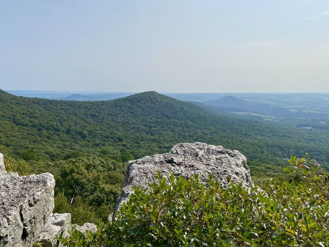
8.4 mi Hard Loop Add to Trailmix: Log in to create a Trailmix What are Trailmixes? Pulpit Rock and The Pinnacle via AT Hamburg, Pennsylvania 5.0
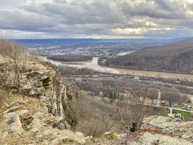
3.0 mi Moderate Out-and-Back Add to Trailmix: Log in to create a Trailmix What are Trailmixes? Campbell's Ledge Duryea, Pennsylvania 5.0
4.3 mi Easy Out-and-Back Add to Trailmix: Log in to create a Trailmix What are Trailmixes? Bay Circuit Trail Southborough, Massachusetts 3.0
2.9 mi Easy One-Way Add to Trailmix: Log in to create a Trailmix What are Trailmixes? Raven Ridge Trail Dolly Sods Wilderness, West Virginia 5.0
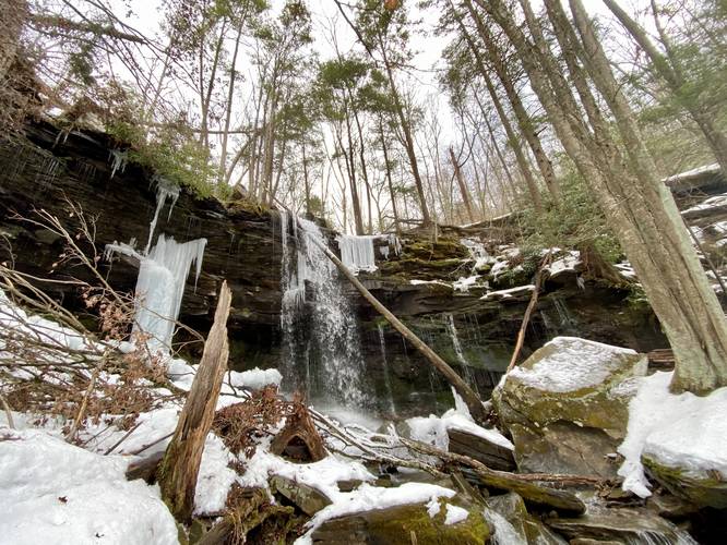
3.8 mi Moderate Out-and-Back Add to Trailmix: Log in to create a Trailmix What are Trailmixes? Jacoby Falls Trail Trout Run, Pennsylvania 4.33
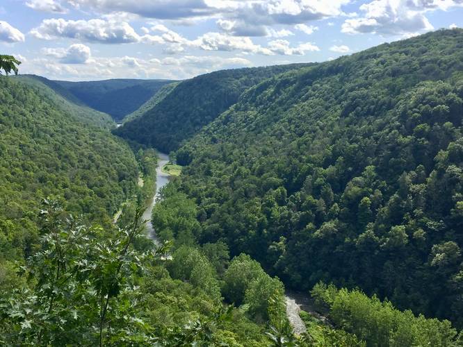
0.8 mi Moderate Loop Add to Trailmix: Log in to create a Trailmix What are Trailmixes? Overlook Loop Trail Wellsboro, Pennsylvania 5.0
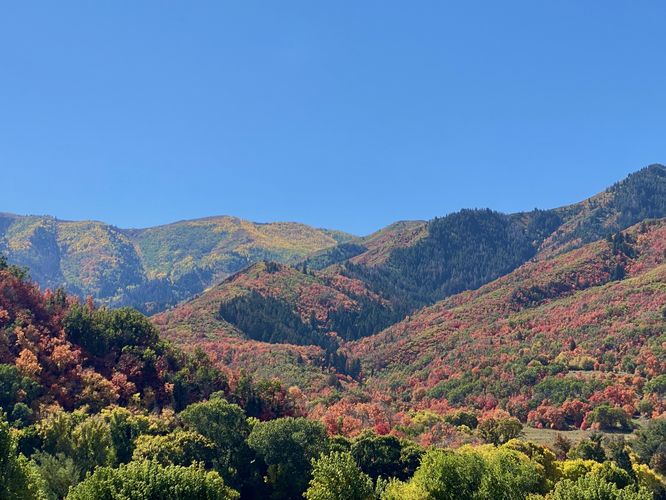
0.0 mi Easy Out-and-Back Add to Trailmix: Log in to create a Trailmix What are Trailmixes? Covered Bridge Canyon Viewpoint Spanish Fork, Utah 5.0
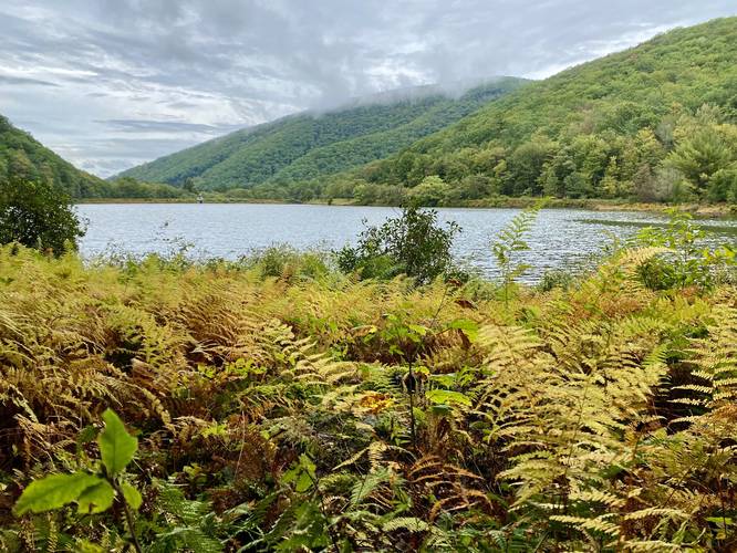
3.1 mi Moderate Loop Add to Trailmix: Log in to create a Trailmix What are Trailmixes? Zindel Falls and Keller Reservoir Loop Lock Haven, Pennsylvania 5.0