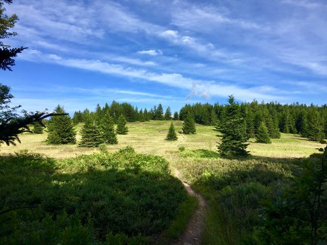
The Raven Ridge Trail in the Dolly Sods Wilderness within the Monongahela National Forest in West Virginia is an easy to moderate 2.9 mile one-way trail that connects to the Rocky Ridge Trail, Beaver View Trail, Bear Rocks Trail, and the Dobbin Grade Trail.
This recording starts at the Rocky Ridge Trail's northern terminus and heads south along the Raven Ridge and the hike is mostly all downhill, hence the easy difficulty; however, if you're hiking up Raven Ridge, it'll be more of a moderate hike until the trail levels out.
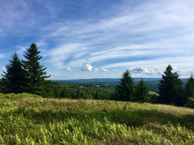
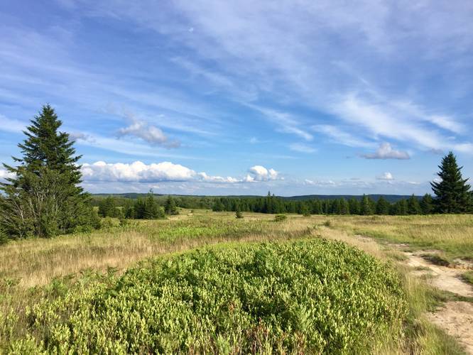
Lookout points: Starting at the northern trailhead, you'll find a lookout point that faces southwest into Dolly Sods at mile 0.7. At mile 1.25 you'll find the trailhead for the Beaver View Trail, which also has views facing east into Dolly Sods towards the Bear Rocks Trail. Just 0.2 miles beyond there is the trailhead for the Bear Rocks Trail. The last section of views can be found near the southern terminus where the trail leads into the open valley near Red Creek.
Water Source: Water can be found at the southern terminus to the east where Red Creek cuts through the valley.
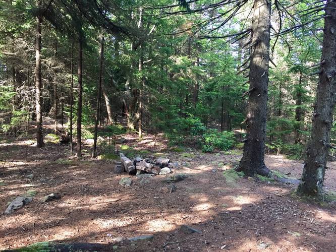
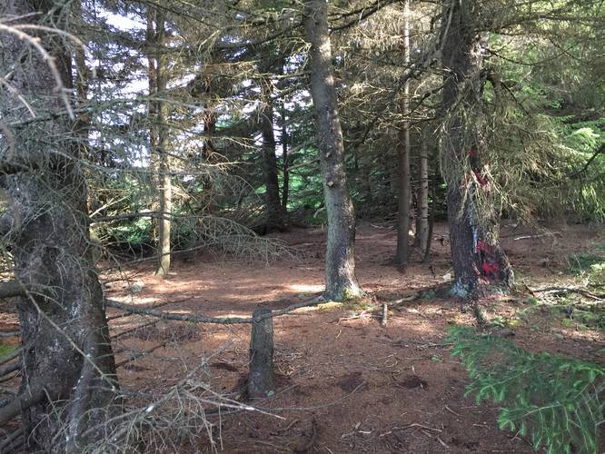
Campsites can be found along the trail both north and south of the trail junctions for the Beaver View Trail and Bear Rocks Trail.
Warning: Dolly Sods was used for military bombing training during WWII and there are still unexploded ordinances in the ground out in the wilderness. Most of these trails and the areas around them have been combed and searched, but not everything has been found. If you find any strange metal objects, especially bomb-shaped, do not tamper with them. Make a note of where you found it and alert the proper authorities. More information can be found at the wilderness trailheads.
Dolly Sods trail map PDF
This recording starts at the Rocky Ridge Trail's northern terminus and heads south along the Raven Ridge and the hike is mostly all downhill, hence the easy difficulty; however, if you're hiking up Raven Ridge, it'll be more of a moderate hike until the trail levels out.
Lookout points: Starting at the northern trailhead, you'll find a lookout point that faces southwest into Dolly Sods at mile 0.7. At mile 1.25 you'll find the trailhead for the Beaver View Trail, which also has views facing east into Dolly Sods towards the Bear Rocks Trail. Just 0.2 miles beyond there is the trailhead for the Bear Rocks Trail. The last section of views can be found near the southern terminus where the trail leads into the open valley near Red Creek.
Water Source: Water can be found at the southern terminus to the east where Red Creek cuts through the valley.
Campsites can be found along the trail both north and south of the trail junctions for the Beaver View Trail and Bear Rocks Trail.
Warning: Dolly Sods was used for military bombing training during WWII and there are still unexploded ordinances in the ground out in the wilderness. Most of these trails and the areas around them have been combed and searched, but not everything has been found. If you find any strange metal objects, especially bomb-shaped, do not tamper with them. Make a note of where you found it and alert the proper authorities. More information can be found at the wilderness trailheads.
Dolly Sods trail map PDF


_20180801020751UTC_small.JPG)


