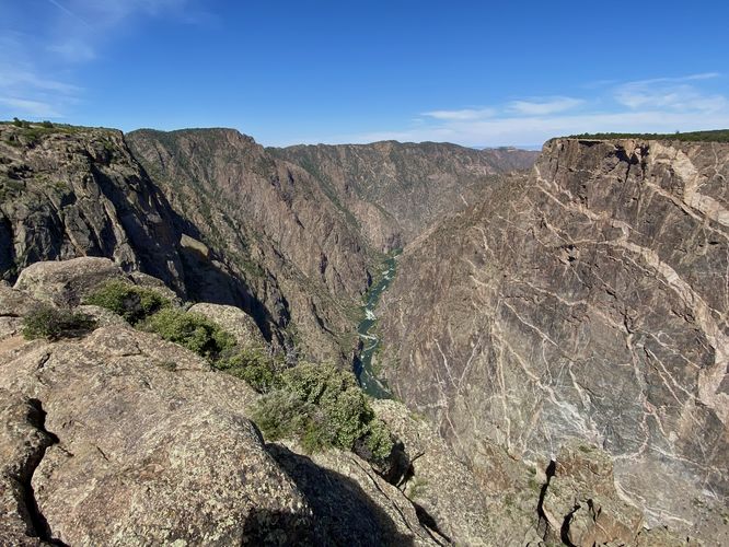
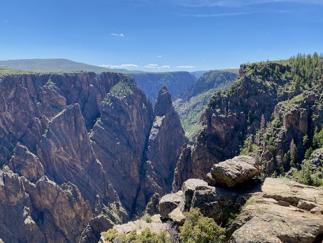
0.4 mi Easy Out-and-Back Add to Trailmix: Log in to create a Trailmix What are Trailmixes? Cedar Point Trail Montrose, Colorado 5.0
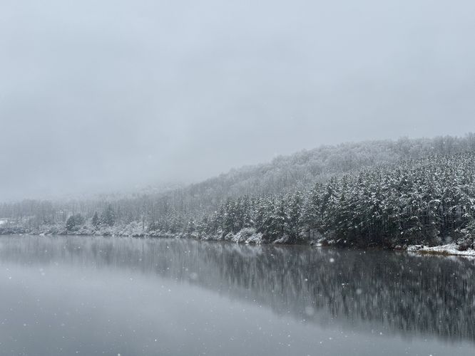
0.4 mi Easy Out-and-Back Add to Trailmix: Log in to create a Trailmix What are Trailmixes? Lake Nessmuk Dam Trail Wellsboro, Pennsylvania 4.0
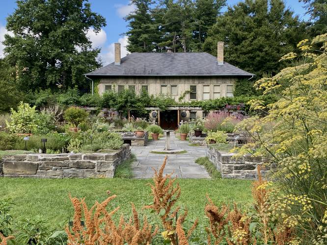
0.8 mi Easy Loop Add to Trailmix: Log in to create a Trailmix What are Trailmixes? Cornell Botanic Gardens Loop Ithaca, New York 5.0
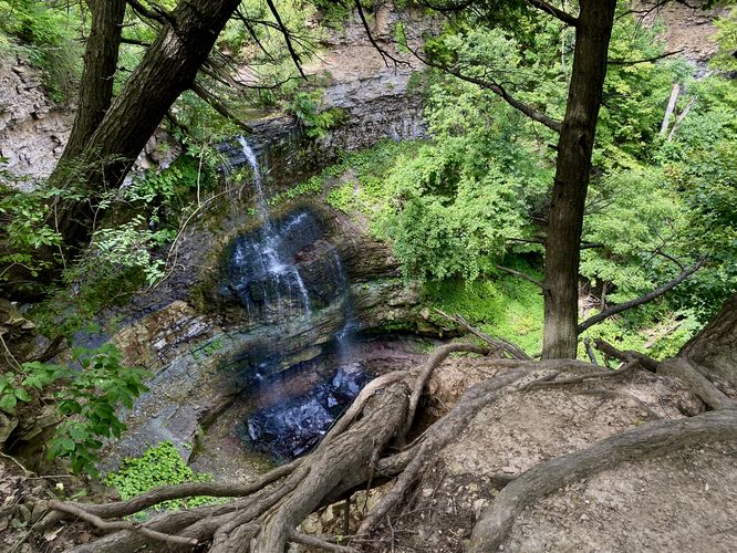
1.0 km Easy Out-and-Back Add to Trailmix: Log in to create a Trailmix What are Trailmixes? Felker's Falls via Bruce Trail Hamilton, ON (Canada) 4.0
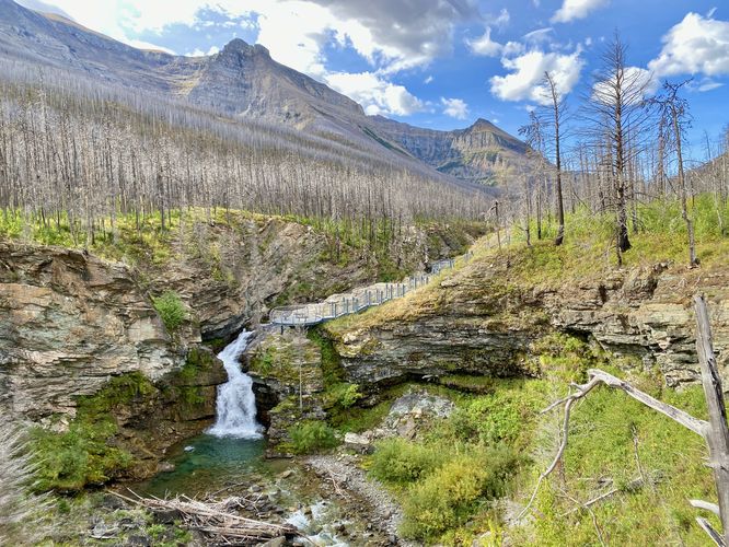
1.9 km Easy Out-and-Back Add to Trailmix: Log in to create a Trailmix What are Trailmixes? Blakiston Falls Trail Waterton Park, AB (Canada) 5.0
0.3 mi Easy Out-and-Back Add to Trailmix: Log in to create a Trailmix What are Trailmixes? Cross Fissures View Trail Montrose, Colorado 5.0
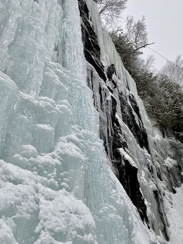
0.3 mi Easy Out-and-Back Add to Trailmix: Log in to create a Trailmix What are Trailmixes? Chiller Pillar Ice Climb Wilmington, New York 4.0
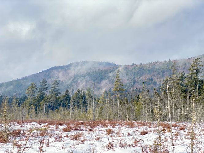
0.7 mi Easy Out-and-Back Add to Trailmix: Log in to create a Trailmix What are Trailmixes? Fred's Bog Trail Eagle Bay, New York 4.0
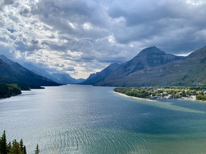
0.3 km Easy Loop Add to Trailmix: Log in to create a Trailmix What are Trailmixes? Upper Waterton Lookout Waterton Park, AB (Canada) 5.0
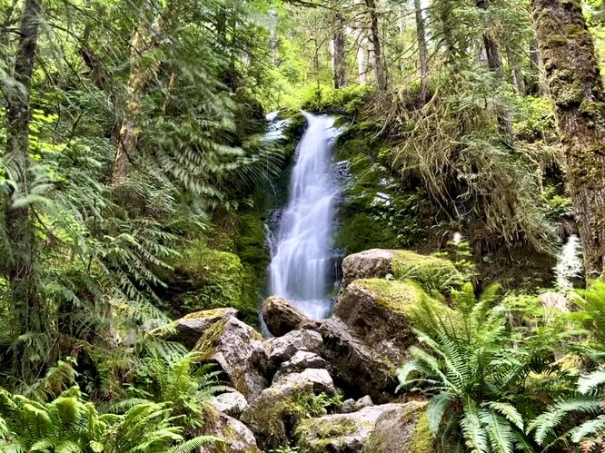
0.0 mi Easy Out-and-Back Add to Trailmix: Log in to create a Trailmix What are Trailmixes? Merriman Falls Quinault, Washington 3.0
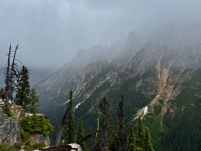
0.2 mi Easy Loop Add to Trailmix: Log in to create a Trailmix What are Trailmixes? Washington Pass Overlook Winthrop, Washington 4.0
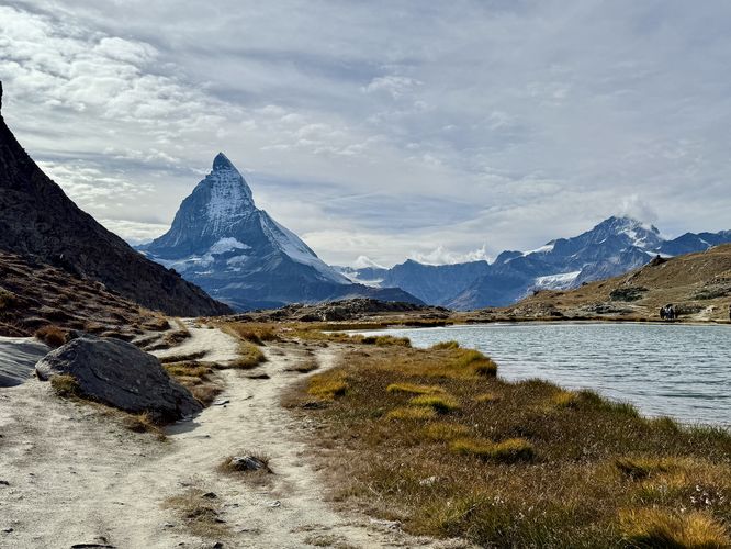
10.5 km Moderate One-Way Add to Trailmix: Log in to create a Trailmix What are Trailmixes? Matterhorn Views Hike (Gornergrat) Zermatt, Switzerland 5.0