0.2 mi Easy Out-and-Back Add to Trailmix: Log in to create a Trailmix What are Trailmixes? Goosenecks Point Overlook Torrey, Utah 4.0
3.6 mi Moderate Out-and-Back Add to Trailmix: Log in to create a Trailmix What are Trailmixes? Larry's Creek Trail Cogan House Township, Pennsylvania 4.0
0.2 mi Easy Out-and-Back Add to Trailmix: Log in to create a Trailmix What are Trailmixes? Fiery Furnace Viewpoint Trail Moab, Utah 3.0
1.2 mi Moderate Loop Add to Trailmix: Log in to create a Trailmix What are Trailmixes? Red Loop Scotts Valley, California 4.0
1.2 mi Easy Out-and-Back Add to Trailmix: Log in to create a Trailmix What are Trailmixes? Bar Island Path Hike Bar Harbor, Maine 4.0
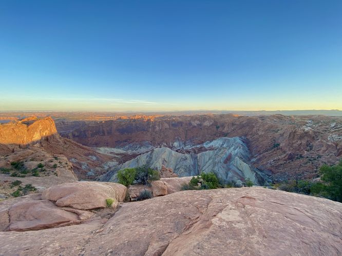
1.4 mi Moderate Out-and-Back Add to Trailmix: Log in to create a Trailmix What are Trailmixes? Upheaval Dome Trail Moab, Utah 4.0
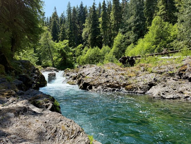
0.1 mi Easy Out-and-Back Add to Trailmix: Log in to create a Trailmix What are Trailmixes? Salmon Cascades Trail Port Angeles, Washington 4.0
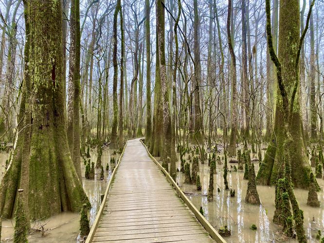
2.5 mi Easy Loop Add to Trailmix: Log in to create a Trailmix What are Trailmixes? Congaree Boardwalk Loop Hopkins, South Carolina 5.0
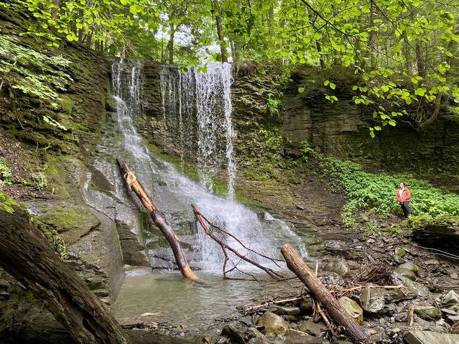
0.1 mi Easy Out-and-Back Add to Trailmix: Log in to create a Trailmix What are Trailmixes? Bucktail Falls Preble, New York 5.0
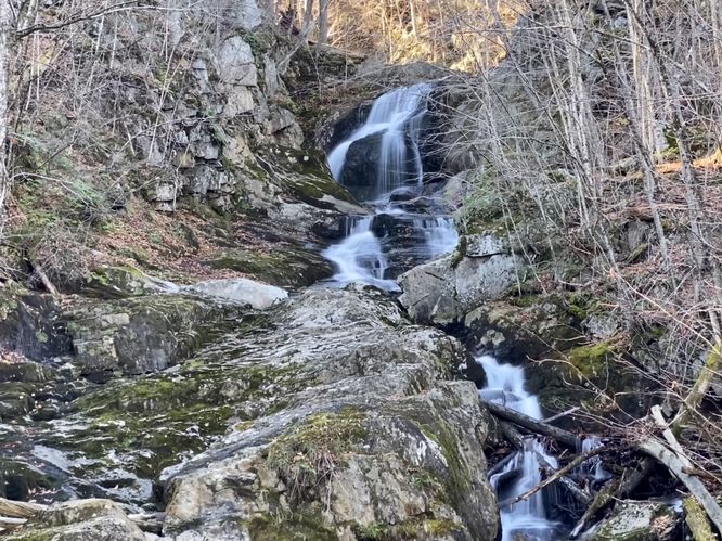
2.0 mi Easy Out-and-Back Add to Trailmix: Log in to create a Trailmix What are Trailmixes? Sanderson Brook Falls Chester, Massachusetts 5.0
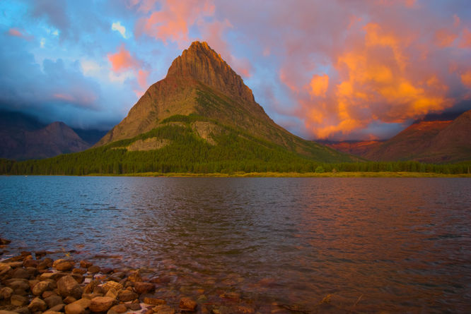
2.6 mi Easy Loop Add to Trailmix: Log in to create a Trailmix What are Trailmixes? Swiftcurrent Lake Loop Trail Babb, Montana 5.0
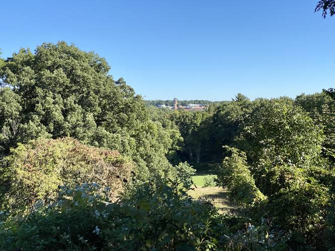
1.5 mi Moderate Out-and-Back Add to Trailmix: Log in to create a Trailmix What are Trailmixes? Nichols Arboretum Hike Ann Arbor, Michigan 4.0