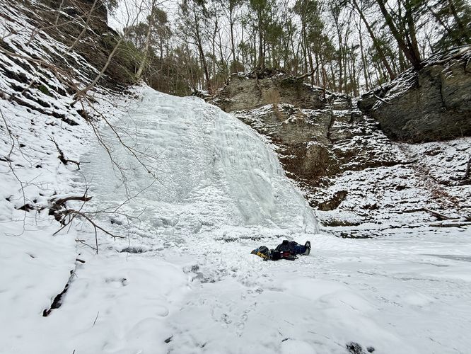
1.8 mi Hard Loop Add to Trailmix: Log in to create a Trailmix What are Trailmixes? Lick Brook Falls Loop Ithaca, New York 5.0
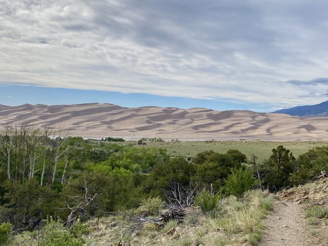
0.5 mi Easy Loop Add to Trailmix: Log in to create a Trailmix What are Trailmixes? Montville Nature Loop Trail Mosca, Colorado 4.0
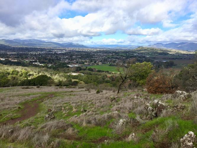
1.2 mi Moderate One-Way Add to Trailmix: Log in to create a Trailmix What are Trailmixes? Skyline Trail to Buckeye Trail Napa, California 5.0
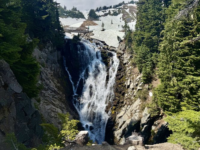
1.1 mi Easy Out-and-Back Add to Trailmix: Log in to create a Trailmix What are Trailmixes? Myrtle Falls Hike Pierce County, Washington 5.0
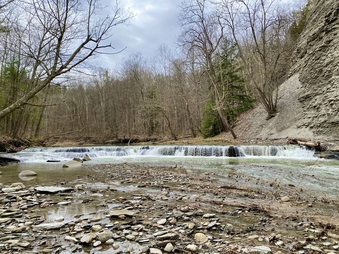
2.9 mi Easy Out-and-Back Add to Trailmix: Log in to create a Trailmix What are Trailmixes? Keshequa Creek Falls Trail Mount Morris, New York 3.0
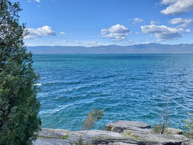
0.2 mi Easy Out-and-Back Add to Trailmix: Log in to create a Trailmix What are Trailmixes? Flathead Lake Overlook Bigfork, Montana 4.0
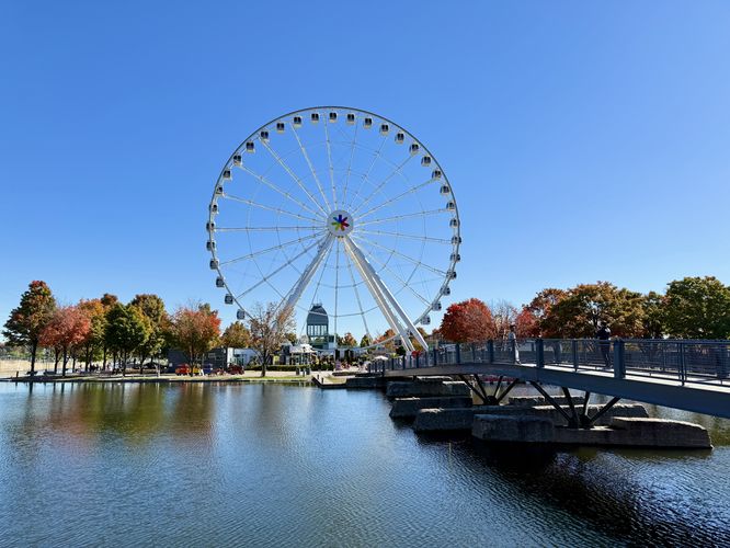
1.9 km Easy One-Way Add to Trailmix: Log in to create a Trailmix What are Trailmixes? Promenade du Vieux Port Montréal, QC (Canada) 4.0
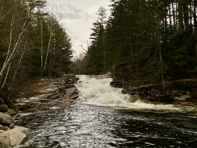
0.3 mi Moderate Out-and-Back Add to Trailmix: Log in to create a Trailmix What are Trailmixes? Gully Falls (Yellow Trail) Wayland, New York 3.0
1.1 mi Easy Out-and-Back Add to Trailmix: Log in to create a Trailmix What are Trailmixes? Lower Ammonoosuc Falls Trail Twin Mountain, New Hampshire 4.0
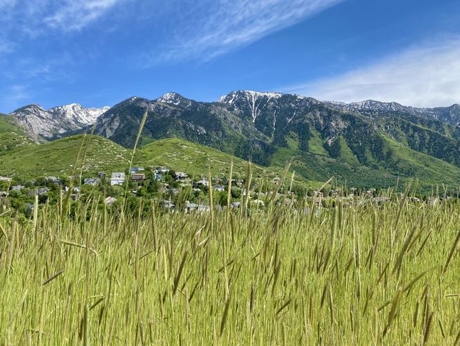
0.3 mi Easy Out-and-Back Add to Trailmix: Log in to create a Trailmix What are Trailmixes? Sunrise Point Trail Sandy, Utah 4.0
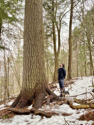
0.1 mi Easy Out-and-Back Add to Trailmix: Log in to create a Trailmix What are Trailmixes? Cathedral Pines Trail Raquette Lake, New York 4.0
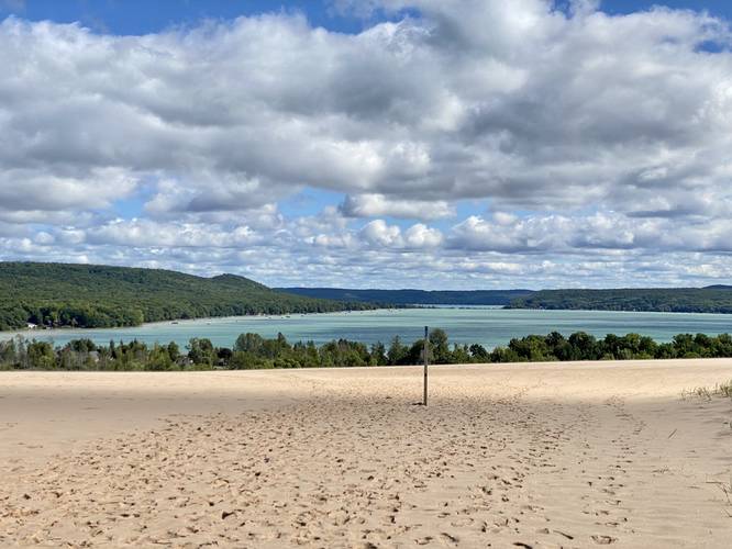
1.1 mi Moderate Loop Add to Trailmix: Log in to create a Trailmix What are Trailmixes? Dune Climb (Sleeping Bear Dunes) Glen Arbor, Michigan 5.0