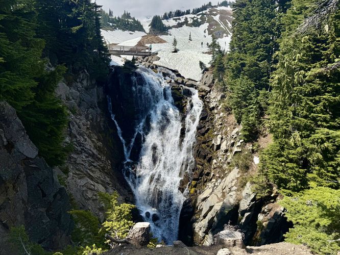
The Myrtle Falls hike at Mt. Rainier National Park in Pierce County, Washington is an easy 1.1-mile out-and-back hike that leads to the 100-foot tall Myrtle Falls and features views of the 14,410-foot tall, Mt. Rainier.
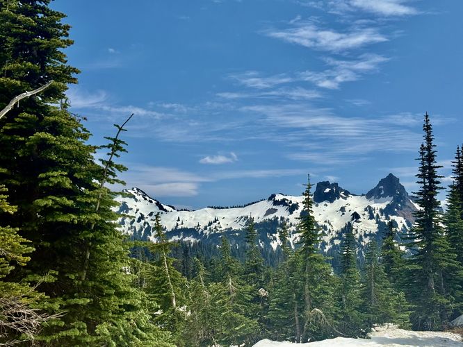
As the trail passes the Paradise Inn area, it'll start to open up to more south-facing views of distant snow-capped mountains. On a clear day, hikers can probably see Mount Hood in Mount Hood National Forest as it stretches thousands of feet into the sky, however, during our hike here in mid-June 2025, there were just too many clouds to see Mt. Hood.
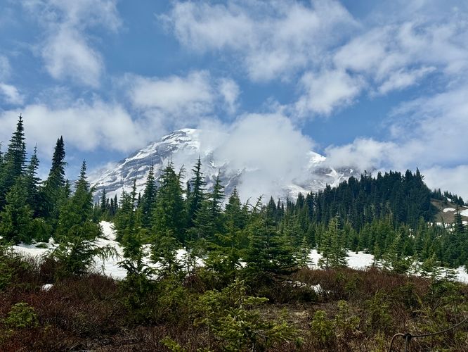
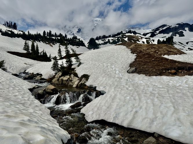
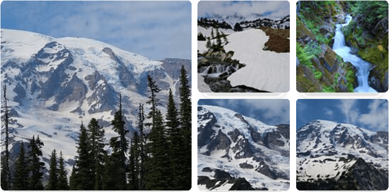
The Skyline Trail eventually rounds a corner and starts heading north where Mt. Rainier will pop into view. Assuming you show up and there aren't too many clouds, the glacier-capped Mt. Rainier will be towering over and staring you down for the rest of the hike, which makes for great photos. If you show up on a cloudy day, keep your eyes peeled for the cloud cover to change so you can take a good photograph of the mountain / volcano.
Hike to Myrtle Falls
This hike begins at the main parking lot for the Paradise area at Mt. Rainier National Park where visitors will find a trailhead for the Skyline Trail located north of the visitor center. Hop on the trail there and keep-right as the Skyline Trail runs adjacent to the parking lot and Paradise Inn.As the trail passes the Paradise Inn area, it'll start to open up to more south-facing views of distant snow-capped mountains. On a clear day, hikers can probably see Mount Hood in Mount Hood National Forest as it stretches thousands of feet into the sky, however, during our hike here in mid-June 2025, there were just too many clouds to see Mt. Hood.
The Skyline Trail eventually rounds a corner and starts heading north where Mt. Rainier will pop into view. Assuming you show up and there aren't too many clouds, the glacier-capped Mt. Rainier will be towering over and staring you down for the rest of the hike, which makes for great photos. If you show up on a cloudy day, keep your eyes peeled for the cloud cover to change so you can take a good photograph of the mountain / volcano.