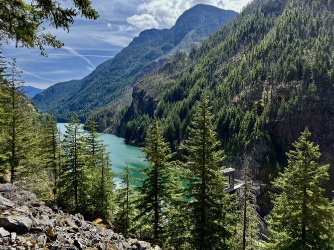
0.5 mi Easy Loop Add to Trailmix: Log in to create a Trailmix What are Trailmixes? Gorge Overlook Trail Newhalem, Washington 4.0
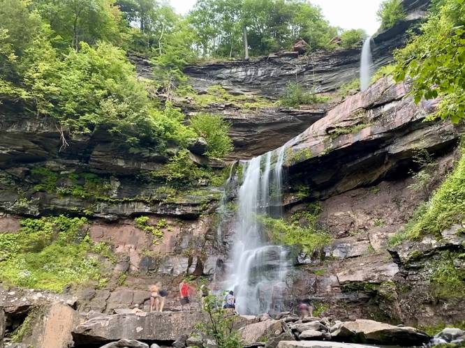
1.8 mi Strenuous Out-and-Back Add to Trailmix: Log in to create a Trailmix What are Trailmixes? Kaaterskill Falls Trail Haines Falls, New York 5.0
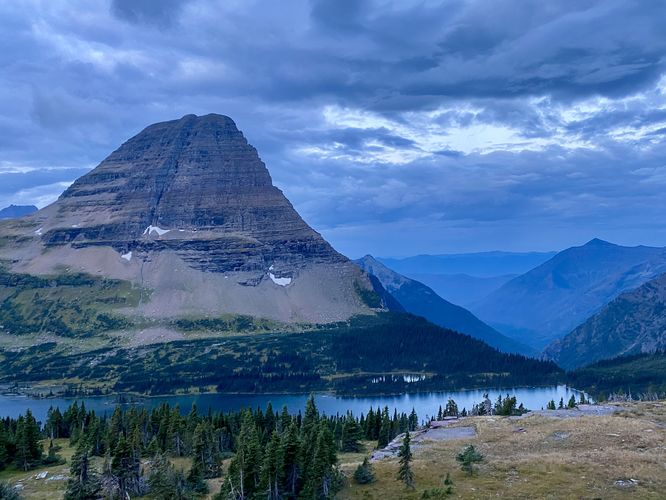
2.7 mi Moderate Out-and-Back Add to Trailmix: Log in to create a Trailmix What are Trailmixes? Hidden Lake Trail to Overlook Saint Mary, Montana 5.0
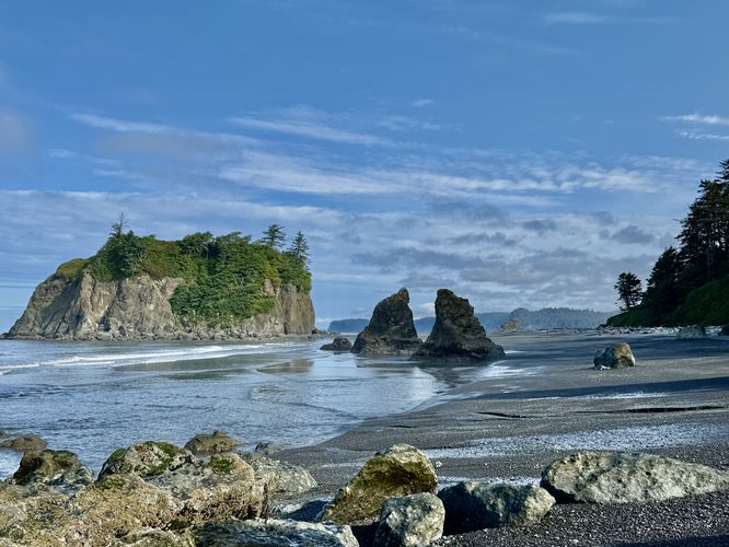
0.6 mi Easy Out-and-Back Add to Trailmix: Log in to create a Trailmix What are Trailmixes? Ruby Beach Trail Hoh, Washington 5.0
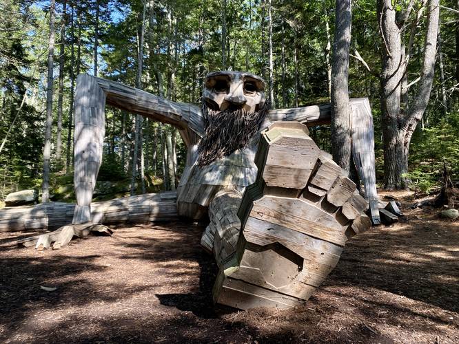
2.3 mi Easy Loop Add to Trailmix: Log in to create a Trailmix What are Trailmixes? Coastal Maine Troll Loop Boothbay, Maine 5.0
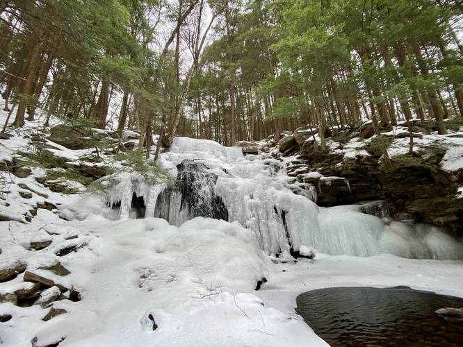
0.6 mi Moderate Out-and-Back Add to Trailmix: Log in to create a Trailmix What are Trailmixes? Dutchman Falls Laporte, Pennsylvania 5.0
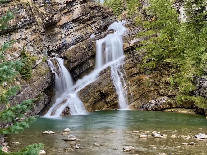
0.2 km Easy Out-and-Back Add to Trailmix: Log in to create a Trailmix What are Trailmixes? Cameron Falls Trail Waterton Park, AB (Canada) 5.0
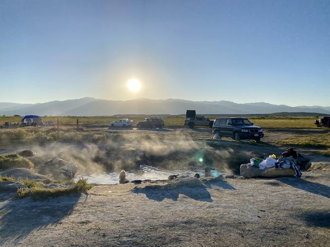
0.4 mi Easy Out-and-Back Add to Trailmix: Log in to create a Trailmix What are Trailmixes? Meadow Hot Spring Kanosh, Utah 4.0
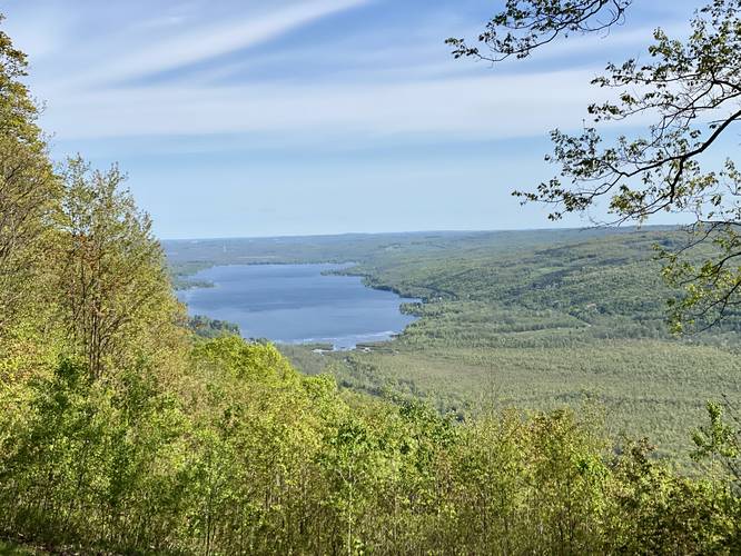
0.1 mi Easy Out-and-Back Add to Trailmix: Log in to create a Trailmix What are Trailmixes? Honeoye Lake Overlook Springwater, New York 4.0
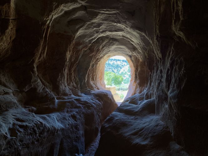
0.3 mi Easy Out-and-Back Add to Trailmix: Log in to create a Trailmix What are Trailmixes? Belly of the Dragon Trail Mount Carmel Junction, Utah 4.0
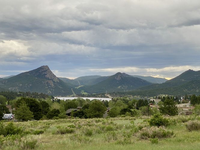
0.2 mi Easy One-Way Add to Trailmix: Log in to create a Trailmix What are Trailmixes? Knoll-Willows Overlook Trail Estes Park, Colorado 5.0
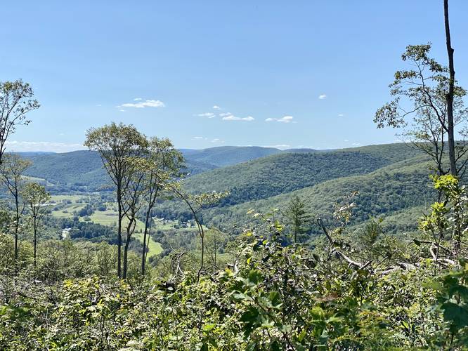
4.0 mi Easy Out-and-Back Add to Trailmix: Log in to create a Trailmix What are Trailmixes? Oak Ridge Trail Wellsboro, Pennsylvania 3.0