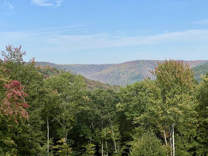
5.0 mi Moderate Loop Add to Trailmix: Log in to create a Trailmix What are Trailmixes? Spook Hollow & Ole Bull Vista Loop Cross Fork, Pennsylvania 4.0
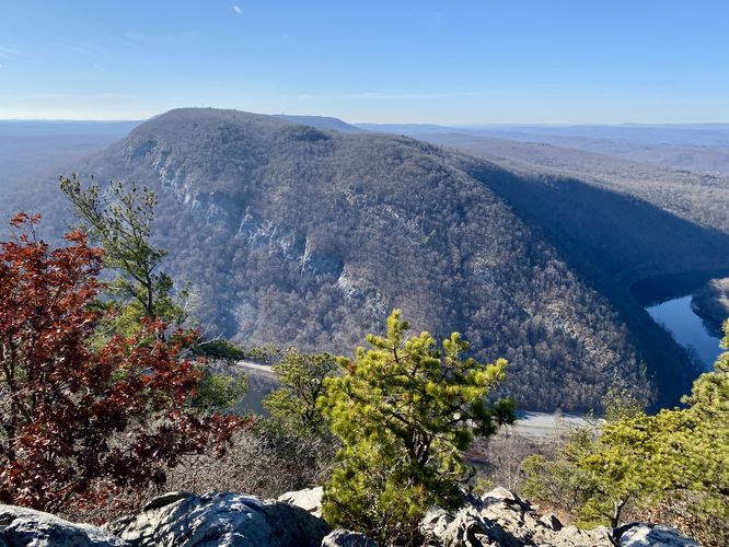
2.5 mi Hard Out-and-Back Add to Trailmix: Log in to create a Trailmix What are Trailmixes? Mt. Tammany Trail Hardwick Township, New Jersey 5.0
0.1 mi Easy Loop Add to Trailmix: Log in to create a Trailmix What are Trailmixes? Oberlin Bend Loop Trail West Glacier, Montana 5.0
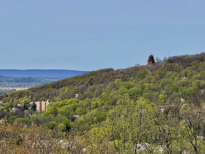
2.2 mi Moderate Out-and-Back Add to Trailmix: Log in to create a Trailmix What are Trailmixes? Neversink Mountain Hike Reading, Pennsylvania 5.0
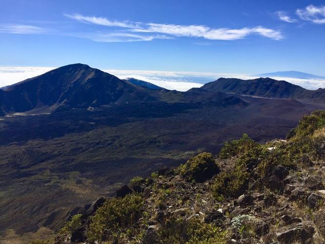
0.3 mi Easy Out-and-Back Add to Trailmix: Log in to create a Trailmix What are Trailmixes? Leleiwi Overlook Trail Kula, Hawaii 4.0
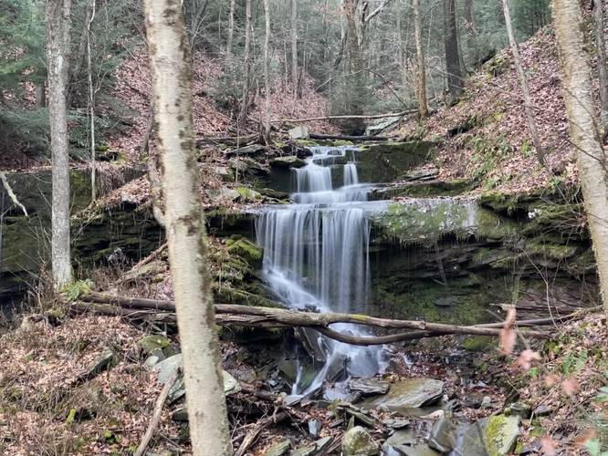
2.4 mi Easy Out-and-Back Add to Trailmix: Log in to create a Trailmix What are Trailmixes? Stone Quarry Falls via Pine Creek Trail Blackwell, Pennsylvania 4.0
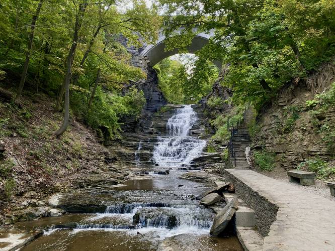
1.2 mi Moderate Out-and-Back Add to Trailmix: Log in to create a Trailmix What are Trailmixes? Cascadilla Gorge Trail Ithaca, New York 5.0
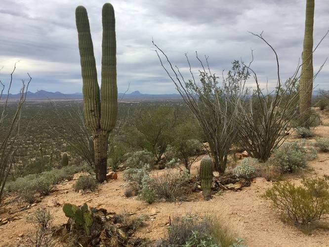
0.9 mi Easy Out-and-Back Add to Trailmix: Log in to create a Trailmix What are Trailmixes? Valley View Overlook Trail Tucson, Arizona 3.0
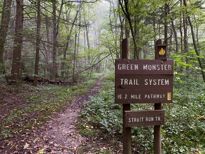
15.9 mi Strenuous Loop Add to Trailmix: Log in to create a Trailmix What are Trailmixes? Green Monster Trail Wellsboro, Pennsylvania 4.0
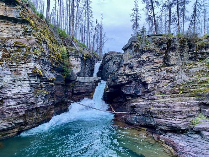
3.8 mi Moderate Out-and-Back Add to Trailmix: Log in to create a Trailmix What are Trailmixes? St. Mary Falls and Virginia Falls Hike Saint Mary, Montana 5.0
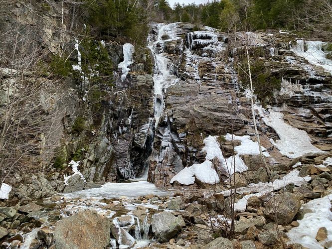
0.2 mi Easy Out-and-Back Add to Trailmix: Log in to create a Trailmix What are Trailmixes? Silver Cascade Hart's Location, New Hampshire 5.0
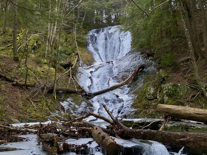
0.5 mi Moderate Out-and-Back Add to Trailmix: Log in to create a Trailmix What are Trailmixes? Tannery Falls Trail Savoy, Massachusetts 5.0