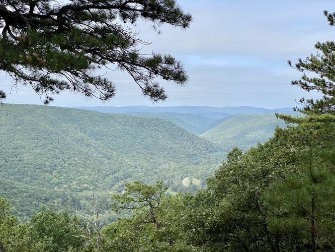
5.2 mi Moderate Loop Add to Trailmix: Log in to create a Trailmix What are Trailmixes? Fred Woods Trail Driftwood, Pennsylvania 5.0
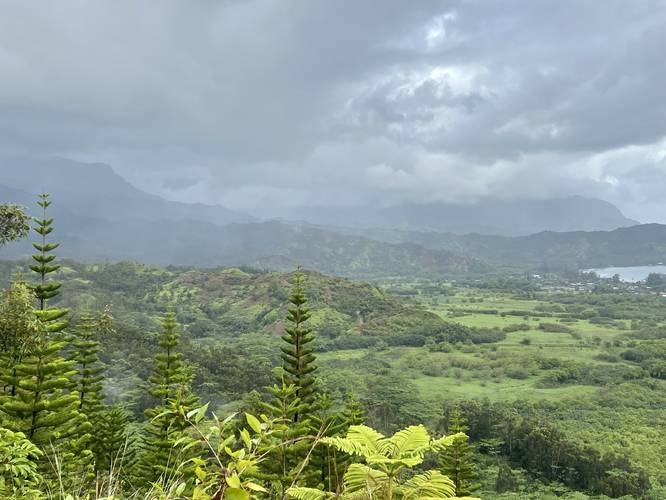
1.4 mi Moderate Out-and-Back Add to Trailmix: Log in to create a Trailmix What are Trailmixes? Okolehao Trail Princeville, Hawaii 5.0
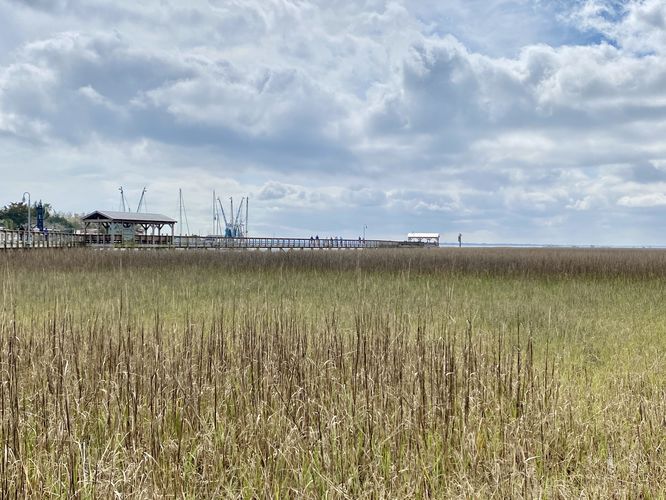
1.0 mi Easy Loop Add to Trailmix: Log in to create a Trailmix What are Trailmixes? Shem Creek Boardwalk Loop Mount Pleasant, South Carolina 4.0
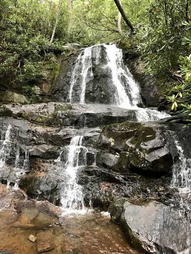
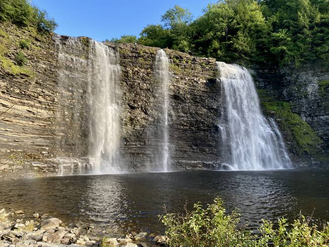
2.5 mi Moderate Out-and-Back Add to Trailmix: Log in to create a Trailmix What are Trailmixes? Laurel Falls Trail Sevierville, Tennessee 5.0
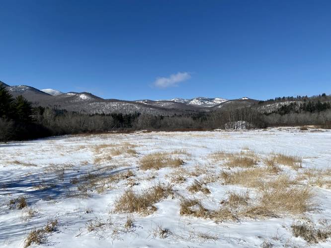
0.1 mi Easy Out-and-Back Add to Trailmix: Log in to create a Trailmix What are Trailmixes? Keene Valley Lookout Keene, New York 3.0
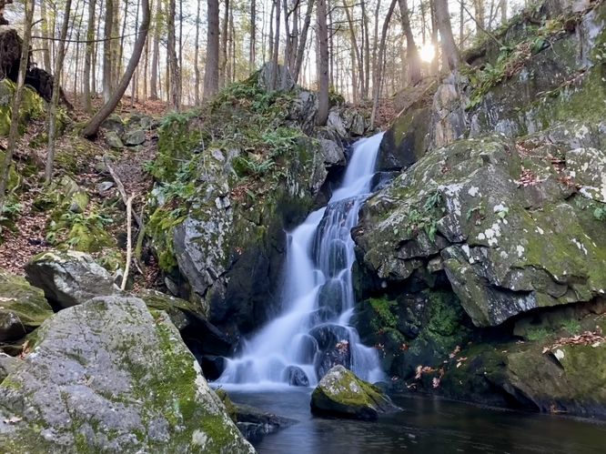
0.2 mi Moderate Out-and-Back Add to Trailmix: Log in to create a Trailmix What are Trailmixes? Goldmine Brook Falls Chester, Massachusetts 5.0
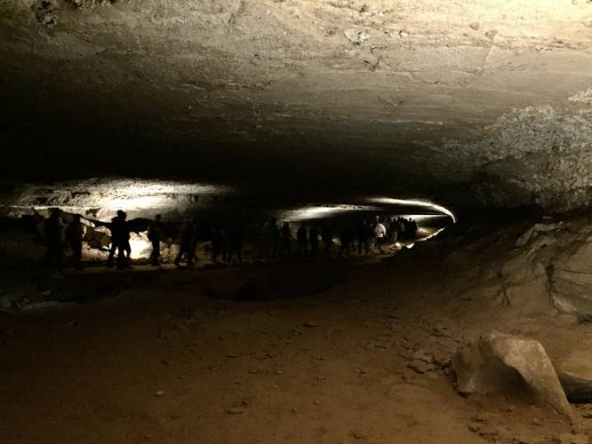
4.0 mi Strenuous One-Way Add to Trailmix: Log in to create a Trailmix What are Trailmixes? Grand Avenue Tour Mammoth Cave, Kentucky 5.0
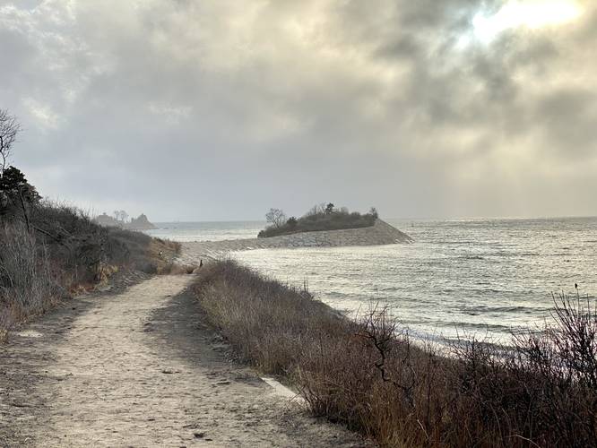
1.0 mi Moderate Out-and-Back Add to Trailmix: Log in to create a Trailmix What are Trailmixes? The Knob Falmouth, Massachusetts 5.0
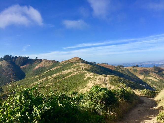
0.6 mi Moderate One-Way Add to Trailmix: Log in to create a Trailmix What are Trailmixes? Slacker Trail Sausalito, California 5.0
0.3 mi Strenuous Out-and-Back Add to Trailmix: Log in to create a Trailmix What are Trailmixes? Salmon River Falls Gorge Trail Orwell, New York 5.0
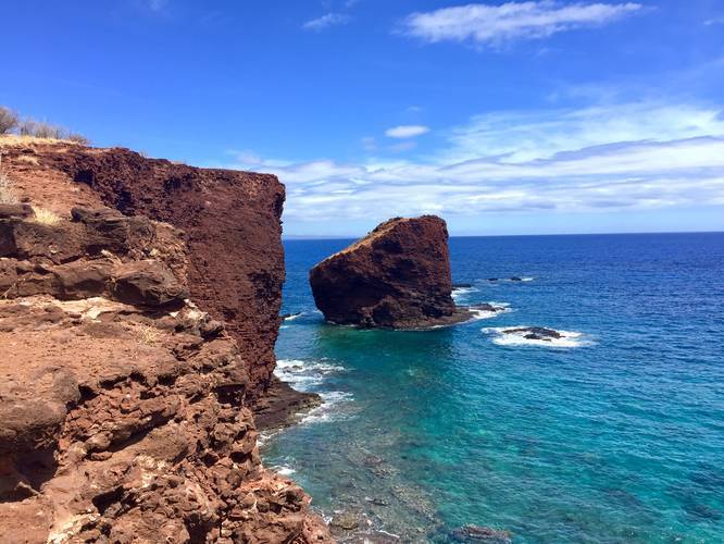
0.8 mi Easy Out-and-Back Add to Trailmix: Log in to create a Trailmix What are Trailmixes? Puu Pehe - Sweetheart Rock Trail Lanai City, Hawaii 4.0
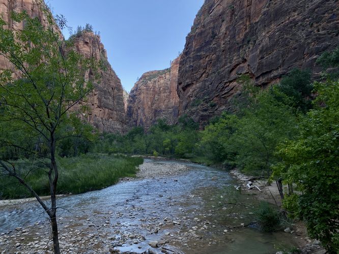
1.9 mi Easy Out-and-Back Add to Trailmix: Log in to create a Trailmix What are Trailmixes? Temple of Sinawava (Riverside Walk) Springdale, Utah 5.0