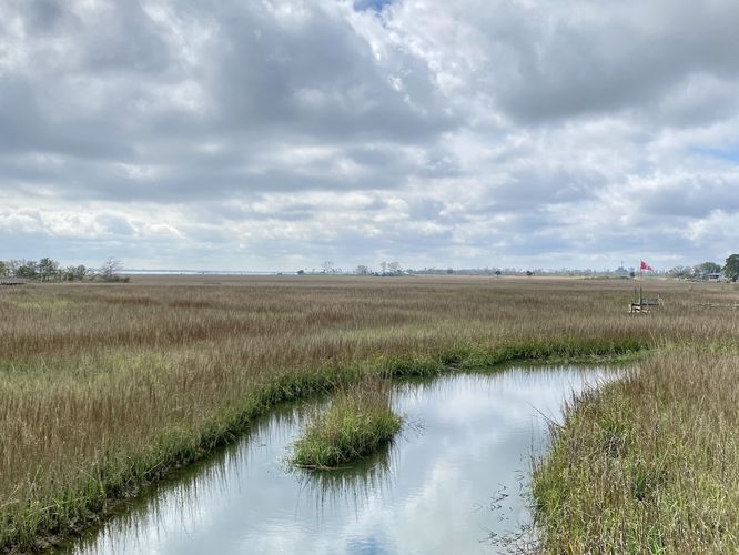
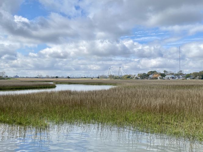
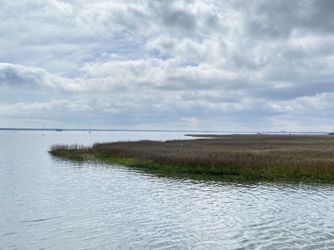
The Shem Creek Boardwalk Loop in Mount Pleasant, South Carolina is an easy universally accessible 1-mile loop walk that features views of the bay, Shem Creek, and provides access to restaurants and docks along the creek.
This is not a hike but rather a flat easy walk that begins at the Shem Creek Park trail entrance along Shrimp Boat Lane in Mount Pleasant. The raised boardwalk runs for most of the trail's length and this GPS track brings visitors out along the boardwalk as it makes its way toward Shem Creek. Along the way is an "island", around mile 0.2, that sits in the middle of the salt marsh, surrounded by tall grasses and marsh waters, and acts as a main trail junction to the boardwalks. You can explore the small island to find crabs and other critters in the sand if you wish to stop for a short break. This track leads visitors out to the very-end of the Shem Creek Boardwalk to reach a nice viewpoint where the creek meets the bay. You'll often find boaters coming in or heading out to the bay through this channel. After exploring the end of the boardwalk, it leads back to the small island and then runs the length of Shem Creek. The boardwalk passes restaurants and shops where you can take a break to grab a drink or bite to eat before heading back to parking. The trail leads up to Coleman Blvd where you'll walk the sidewalk to reach the parking lot.
Universally Accessible
Note that most of this trail is universally accessible. The "island" in the middle of the boardwalks should be universally accessible as the pathway is made-up of crushed gravel. If you go off of the trail, the island is sandy and may not be accessible for everyone to explore.
Parking
Visitors for the park will find a medium-sized parking lot at the coordinates provided along Shrimp Boat Lane in Mount Pleasant, SC. The lot is large enough to fit a dozen vehicles or so as of March 2024. There's additional parking nearby, but some of that parking may be for local businesses near Shem Creek, so be aware of the parking situation.
Pets
Dogs are allowed only if leashed and must be cleaned up after.