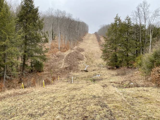
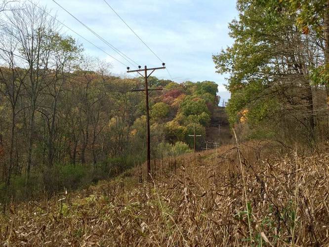
2.1 mi Moderate Out-and-Back Add to Trailmix: Log in to create a Trailmix What are Trailmixes? Dewey Hollow Run Trail Marshlands, Pennsylvania 0
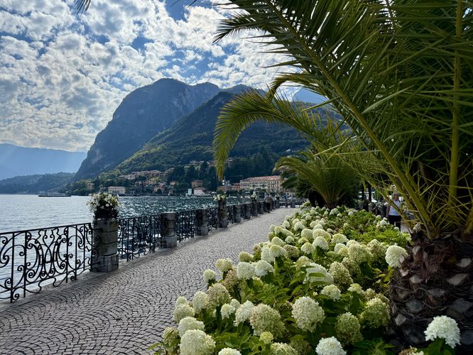
1.0 km Easy One-Way Add to Trailmix: Log in to create a Trailmix What are Trailmixes? Menaggio Promenade Menaggio, Italy 5.0
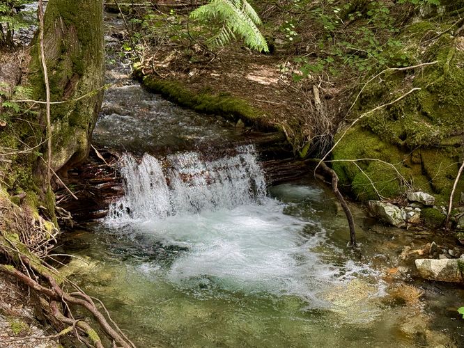
0.3 mi Easy Loop Add to Trailmix: Log in to create a Trailmix What are Trailmixes? Happy Creek Forest Walk Diablo, Washington 3.0
0.4 mi Easy One-Way Add to Trailmix: Log in to create a Trailmix What are Trailmixes? Chestnut Trail Murrysville, Pennsylvania 0
0.4 mi Easy Out-and-Back Add to Trailmix: Log in to create a Trailmix What are Trailmixes? Yellow & Black Blaze Trail Tarentum, Pennsylvania 0
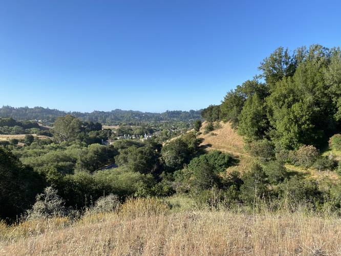
0.8 mi Moderate Loop Add to Trailmix: Log in to create a Trailmix What are Trailmixes? Blue Loop Scotts Valley, California 0
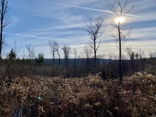
2.2 mi Moderate Loop Add to Trailmix: Log in to create a Trailmix What are Trailmixes? Stinger-Plantation Loop Middlebury, Pennsylvania 0
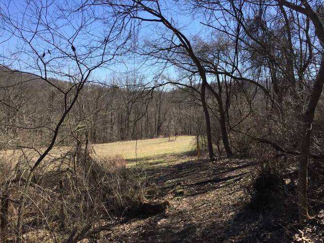
0.2 mi Easy Out-and-Back Add to Trailmix: Log in to create a Trailmix What are Trailmixes? Maple Hill Meadow View Chemung, New York 0
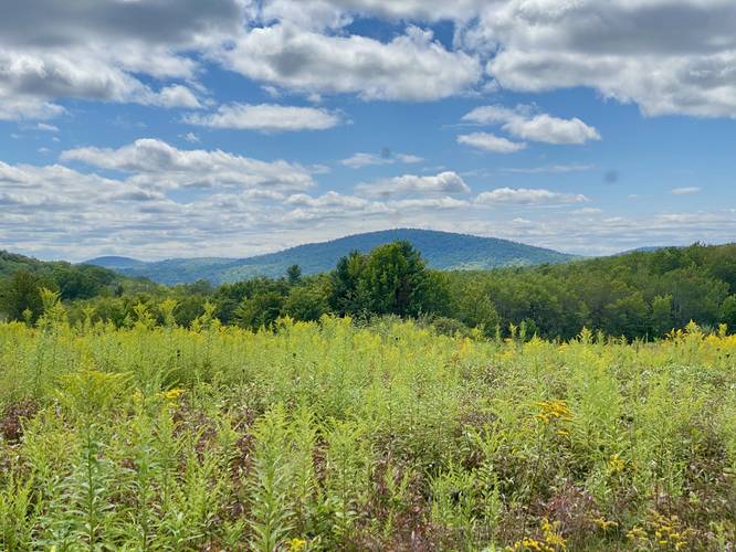
6.4 mi Easy Out-and-Back Add to Trailmix: Log in to create a Trailmix What are Trailmixes? Benjamin Hollow Falls and Clay Mine Falls Hike Blackwell, Pennsylvania 0
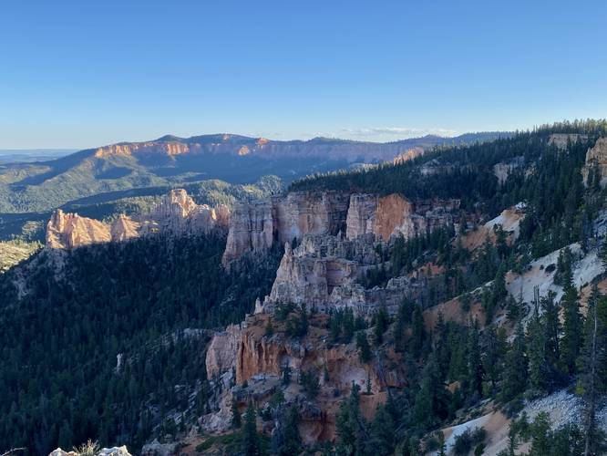
0.4 mi Easy Out-and-Back Add to Trailmix: Log in to create a Trailmix What are Trailmixes? Piracy Point Trail Bryce Canyon City, Utah 0
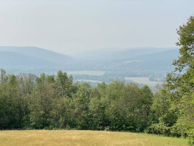
0.1 mi Easy One-Way Add to Trailmix: Log in to create a Trailmix What are Trailmixes? Newtown Overlook Elmira, New York 0
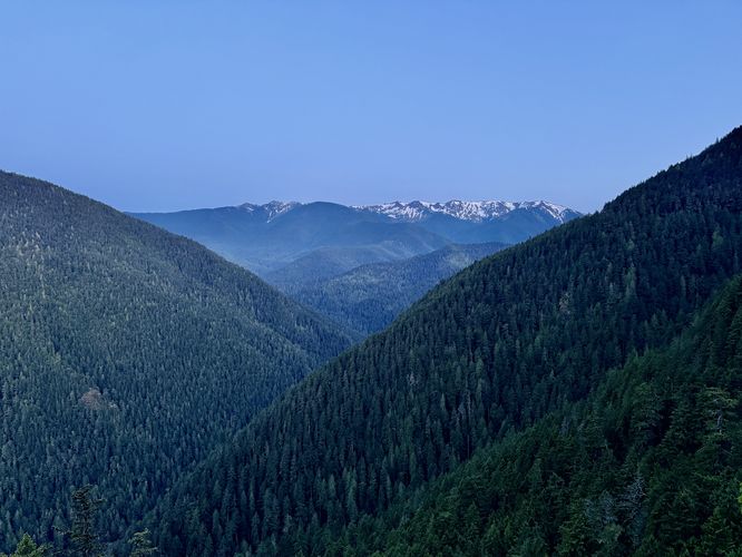
0.1 mi Easy Out-and-Back Add to Trailmix: Log in to create a Trailmix What are Trailmixes? Lookout Rock Trail Port Angeles, Washington 0