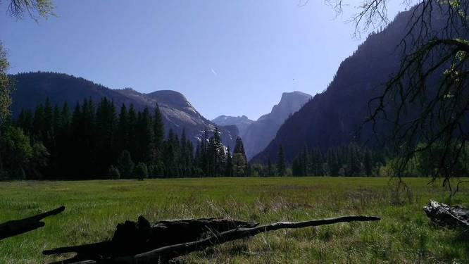
1.2 mi Easy Out-and-Back Add to Trailmix: Log in to create a Trailmix What are Trailmixes? Yosemite Valley Loop Trail Section Yosemite Village, California 0
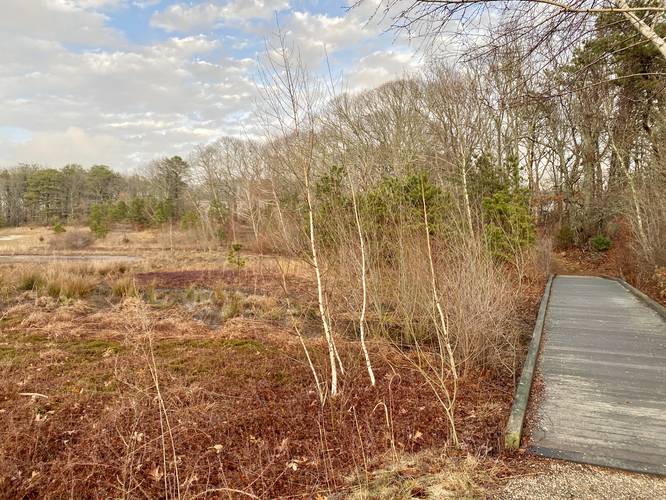
0.5 mi Easy Loop Add to Trailmix: Log in to create a Trailmix What are Trailmixes? Teaticket Park Loop Falmouth, Massachusetts 0
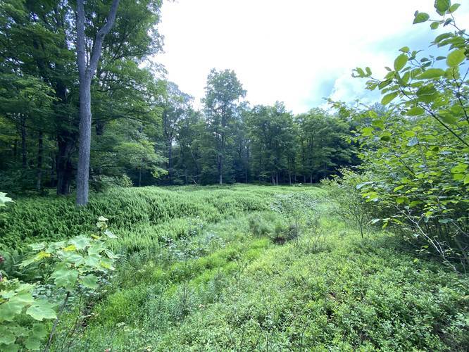
1.3 mi Easy Loop Add to Trailmix: Log in to create a Trailmix What are Trailmixes? Galeton Loop Trail Galeton, Pennsylvania 0
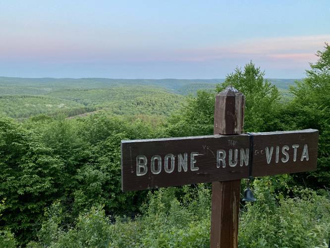
0.0 mi Easy Out-and-Back Add to Trailmix: Log in to create a Trailmix What are Trailmixes? Boone Run Vista Galeton, Pennsylvania 0
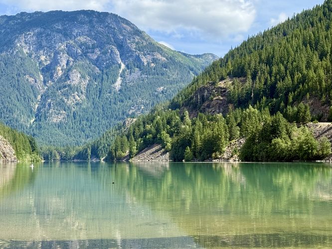
0.1 mi Easy One-Way Add to Trailmix: Log in to create a Trailmix What are Trailmixes? Thunder Arm Beach Trail Diablo, Washington 0
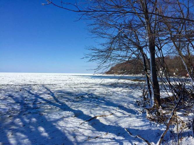
0.2 mi Easy Out-and-Back Add to Trailmix: Log in to create a Trailmix What are Trailmixes? Fisherman's Foot Path Lake City, Pennsylvania 0
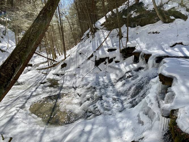
1.2 mi Easy Out-and-Back Add to Trailmix: Log in to create a Trailmix What are Trailmixes? Old Flat Top Falls Wellsboro, Pennsylvania 0
0.6 mi Easy Out-and-Back Add to Trailmix: Log in to create a Trailmix What are Trailmixes? SGL 208 Phoenix Run Trail Galeton, Pennsylvania 0
0.6 mi Easy Out-and-Back Add to Trailmix: Log in to create a Trailmix What are Trailmixes? Cross Trail Westfield, Pennsylvania 0
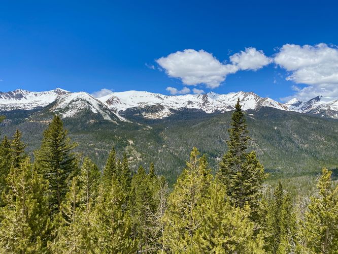
0.1 mi Easy Out-and-Back Add to Trailmix: Log in to create a Trailmix What are Trailmixes? Fairview Lookout Grand Lake, Colorado 0
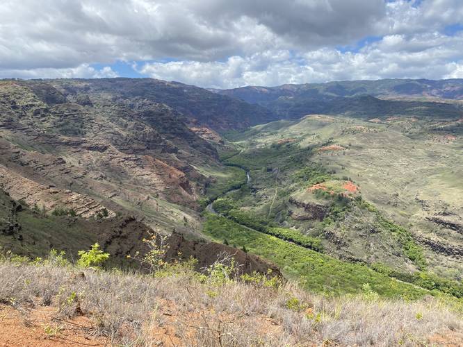
0.1 mi Easy Out-and-Back Add to Trailmix: Log in to create a Trailmix What are Trailmixes? Waimea Canyon South Lookout Waimea, Hawaii 0
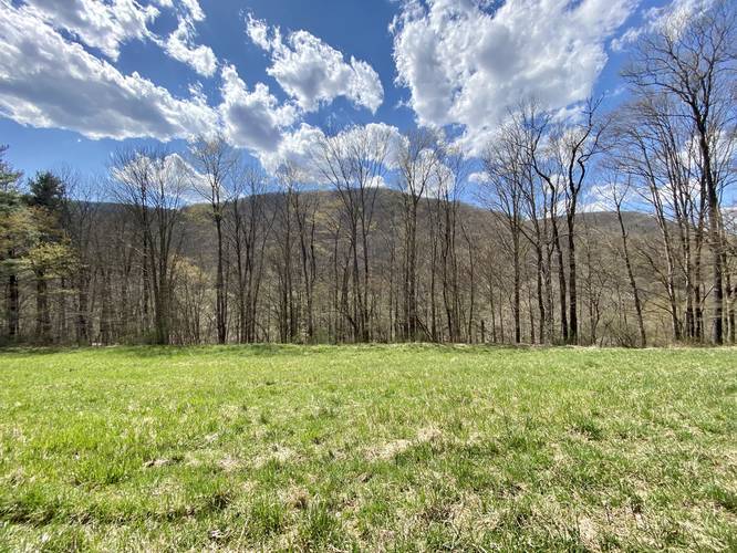
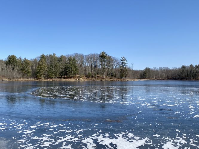
1.3 mi Easy Out-and-Back Add to Trailmix: Log in to create a Trailmix What are Trailmixes? Sandford Lake Trail Savona, New York 0