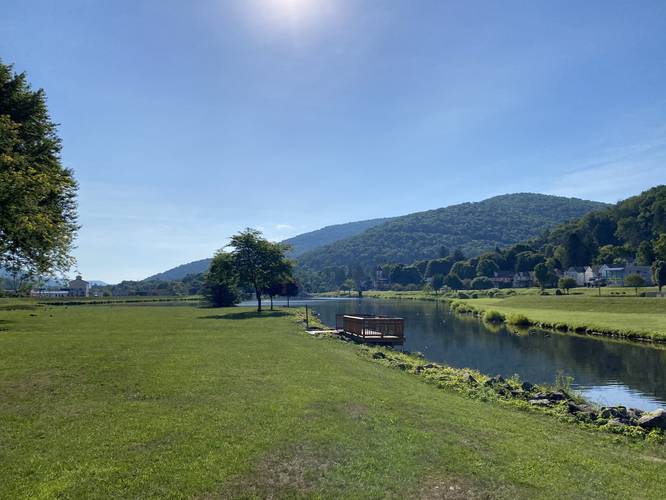
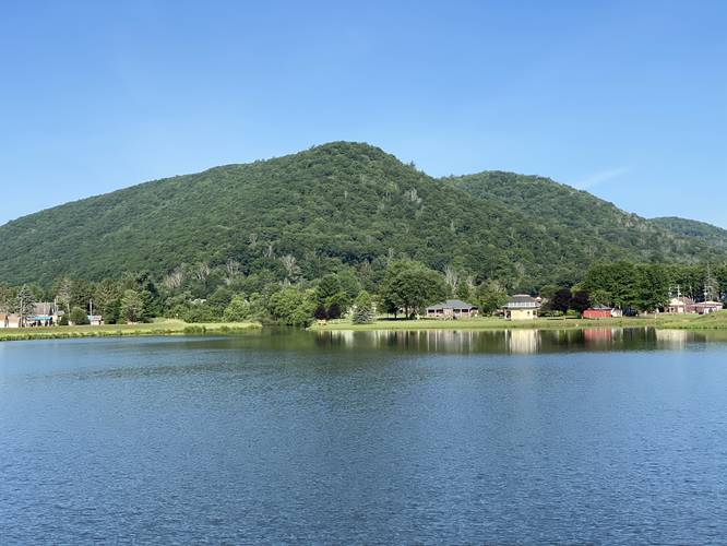
The Galeton Loop Trail in Galeton, Pennsylvania is an easy unofficial 1.3-mile loop trail that encompasses the center of Galeton and features views of the surrounding mountains, Pine Creek, and Galeton Lake.
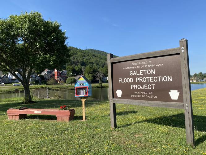
This unofficially-named trail loops Galeton center and follows several built-up dams around the town known as the Galeton Flood Protection Project, which is maintained by the borough of Galeton. Visitors will notice what looks like grassy trails that skirt their way around Galeton Lake - this is the main route for this path.
Hikers can start anywhere along the edge of Galeton Lake, but this recording begins along PA Route 6 and heads in a clockwise direction around the lake. You can easily access the trail by walking downhill from the off-street parking along PA Route 6 to make your way around the lake by following the flood protection paths and sidewalks. Walkers will notice the trail disappears when you reach the western part of the trail near Park Lane - along Union Street - walk north to Park Lane, down Park Lane, and over to the lake once again. From here, walkers will reach the Galeton Lake gazebo and park. After visiting the park, walk north toward the gas station to cross the bridge to reach parking.
Parking
Hikers and walkers will find parking along PA Route 6 in downtown Galeton, the Galeton Library on Park Lane, or along Germania Street.
Pets
Dogs are allowed if leashed and their waste must be carried out.