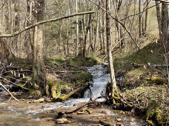
The State Game Lands 208 Phoenix Run Trail in Galeton, Pennsylvania is an easy 0.6-mile out-and-back trail that leads across Phoenix Run and into various hunting fields. This trail does not have much to see, but during the Spring there can often be found a small waterfall off of the trail, about 3-feet tall.
The trail begins first by crossing a bridge (built circa 2019) over to a trail that leads two ways - one way leads into a field and the other way follows adjacent to Phoenix Run heading north. This recording heads north after the bridge.
Shortly after the bridge, there will be a hairpin turn where the trail will lead up to yet another hunting field. The recording heads straight here and ignores the turn. Shortly after passing the culvert in the trail, hikers should look to their right-hand side over to where the small waterfall lies (if during the Spring or after heavy rainfall). While it's small, this waterfall is just one of a few that can be found in Potter County. Also be aware of your steps because the rare Trillium may be growing at your feet.
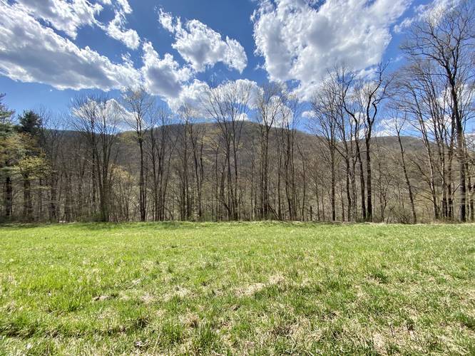
Continuing further up the trail, hikers will find it leads into yet another hunting field. On the far side of the hunting field, the trail clears out a bit heading uphill, but the recording stops here and heads back to parking since most of this area will be overgrowth and thorns/prickers by Summer.
Parking
Hikers can find parking at the coordinates provided. There's enough room for a few vehicles. Do not block the gate.
Pets
Dogs are allowed. If hiking, dogs should be leashed.
Fishing
This is a great fishing spot, especially where the concrete boulders, just next to the bridge, create hideaways for trout and other fish.
Hunting
Hikers should note that hunting is permitted here and should wear orange.
Overgrowth
Since this is a hunting area and not maintained for hiking, there may be plenty of overgrowth after late Spring and into early Fall.
The trail begins first by crossing a bridge (built circa 2019) over to a trail that leads two ways - one way leads into a field and the other way follows adjacent to Phoenix Run heading north. This recording heads north after the bridge.
Shortly after the bridge, there will be a hairpin turn where the trail will lead up to yet another hunting field. The recording heads straight here and ignores the turn. Shortly after passing the culvert in the trail, hikers should look to their right-hand side over to where the small waterfall lies (if during the Spring or after heavy rainfall). While it's small, this waterfall is just one of a few that can be found in Potter County. Also be aware of your steps because the rare Trillium may be growing at your feet.
Continuing further up the trail, hikers will find it leads into yet another hunting field. On the far side of the hunting field, the trail clears out a bit heading uphill, but the recording stops here and heads back to parking since most of this area will be overgrowth and thorns/prickers by Summer.
Parking
Hikers can find parking at the coordinates provided. There's enough room for a few vehicles. Do not block the gate.
Pets
Dogs are allowed. If hiking, dogs should be leashed.
Fishing
This is a great fishing spot, especially where the concrete boulders, just next to the bridge, create hideaways for trout and other fish.
Hunting
Hikers should note that hunting is permitted here and should wear orange.
Overgrowth
Since this is a hunting area and not maintained for hiking, there may be plenty of overgrowth after late Spring and into early Fall.