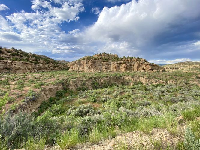
0.2 mi Easy Out-and-Back Add to Trailmix: Log in to create a Trailmix What are Trailmixes? East Four Mile Interpretive Site Rangely, Colorado 0
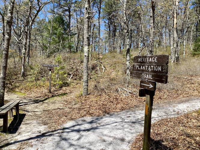
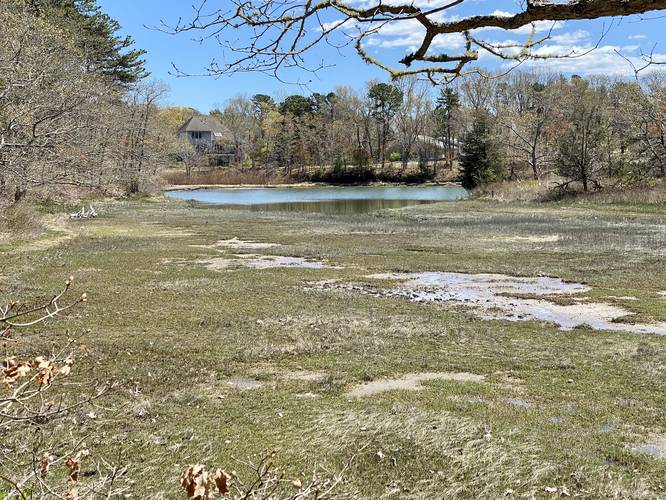
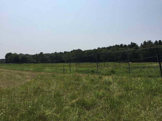
0.3 mi Easy One-Way Add to Trailmix: Log in to create a Trailmix What are Trailmixes? Heritage Plantation Trail Sandwich, Massachusetts 0
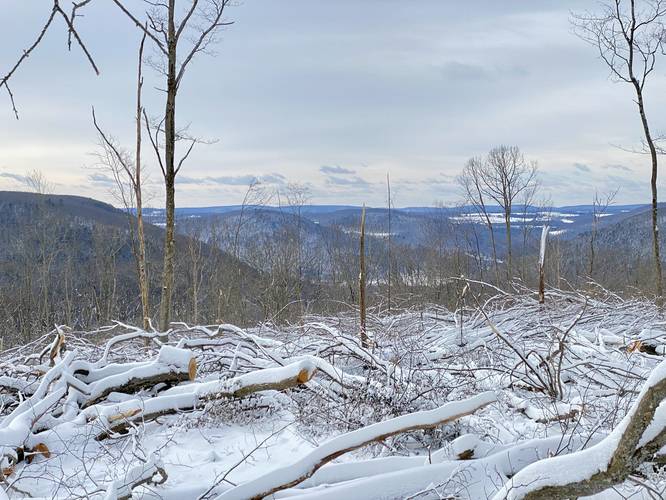
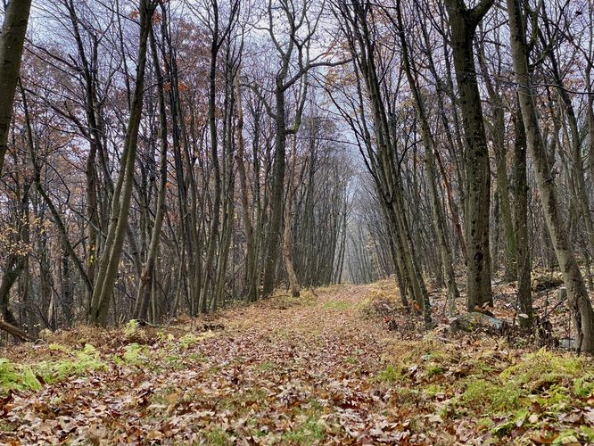
2.2 mi Easy Out-and-Back Add to Trailmix: Log in to create a Trailmix What are Trailmixes? Canada Run Vista Wellsboro, Pennsylvania 0
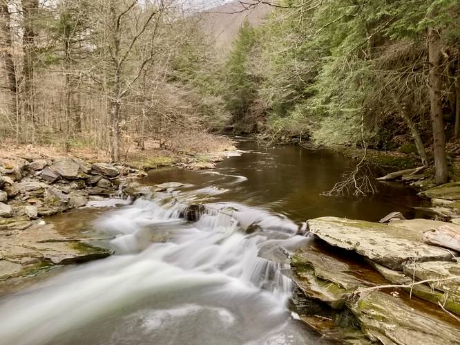
0.1 mi Easy Out-and-Back Add to Trailmix: Log in to create a Trailmix What are Trailmixes? East Branch Stony Fork Falls Morris, Pennsylvania 0
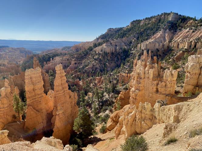
0.1 mi Easy Out-and-Back Add to Trailmix: Log in to create a Trailmix What are Trailmixes? Fairyland Point Bryce Canyon City, Utah 0
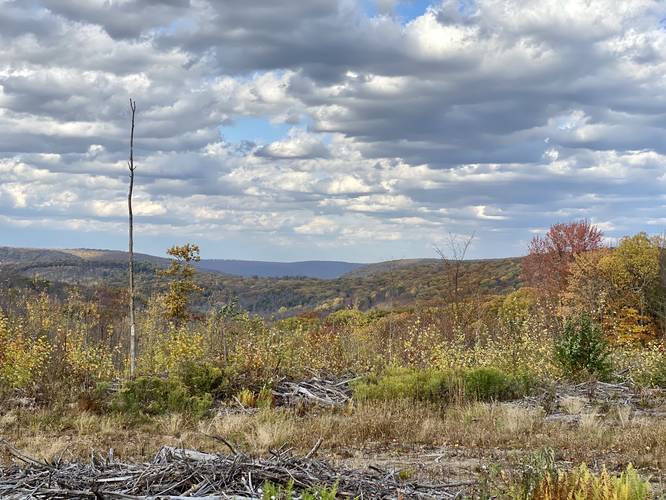
3.7 mi Easy Out-and-Back Add to Trailmix: Log in to create a Trailmix What are Trailmixes? Dewey Hollow Trail to Summit Gaines, Pennsylvania 0
1.5 mi Easy Out-and-Back Add to Trailmix: Log in to create a Trailmix What are Trailmixes? Summit Trail (Tiadaghton State Forest) Armstrong Township, Pennsylvania 0
0.4 mi Easy Loop Add to Trailmix: Log in to create a Trailmix What are Trailmixes? Monks Park Loop Trail Bourne, Massachusetts 0
1.5 mi Easy Loop Add to Trailmix: Log in to create a Trailmix What are Trailmixes? Orange Loop Trail Medfield, Massachusetts 0
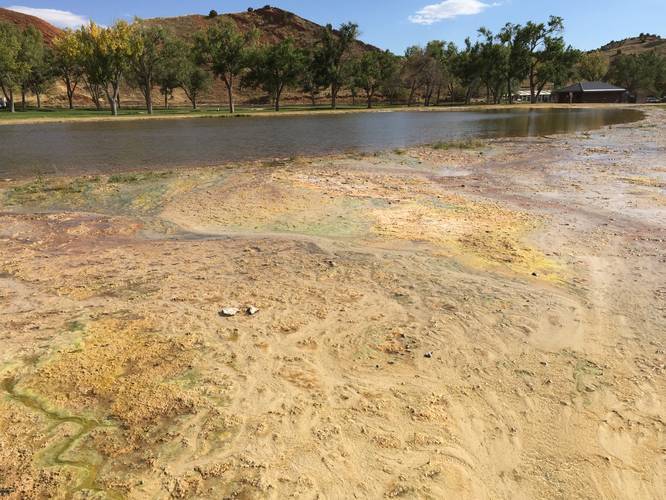
0.6 mi Easy Loop Add to Trailmix: Log in to create a Trailmix What are Trailmixes? Mineral Hot Springs Loop Trail Thermopolis, Wyoming 0
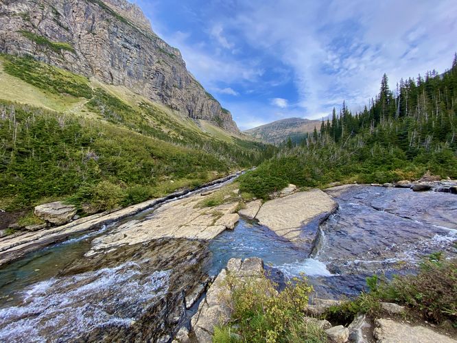
0.4 mi Easy Out-and-Back Add to Trailmix: Log in to create a Trailmix What are Trailmixes? Siyeh Bend Falls Hike Saint Mary, Montana 4.0
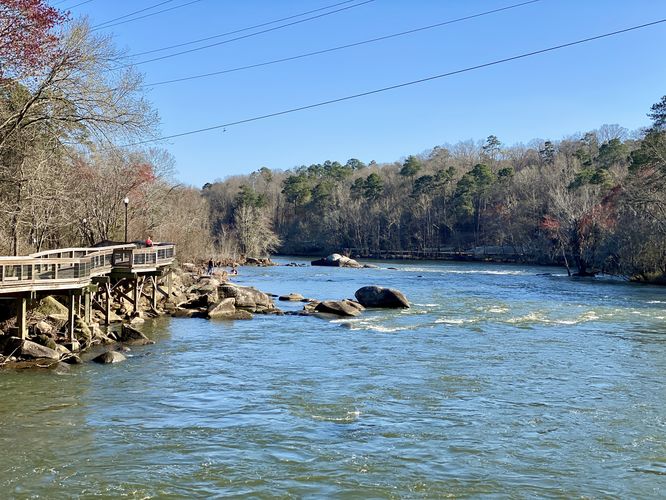
1.2 mi Easy Out-and-Back Add to Trailmix: Log in to create a Trailmix What are Trailmixes? Saluda Riverwalk Columbia, South Carolina 0