The Heritage Plantation Trail at Shawme-Crowell State Forest in Sandwich, Massachusetts is an easy 0.3-mile one-way trail that connects Pocasset Road to the Coyote Den Trail.
Hike Description
This hike begins along Pocasset Road near the junction of Pocasset and Shawme Road and follows the main trail as it heads west from the small parking lot. At the junction, hikers will keep right to stay on the Heritage Plantation Trail. The trail undulates a bit as it makes its way west, passing Sherri's Berry Trail along the way.
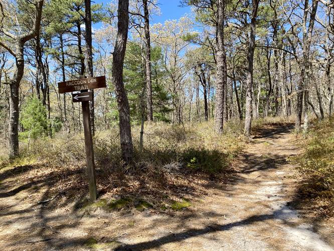
Raccoon Trail Junction - Mile 0.15
At mile 0.15, hikers will keep-right at the Raccoon Trail junction.
Junction - Mile 0.23
At mile 0.23, hikers can choose to either follow the Heritage Plantation Trail (right) or go straight along the Mayflower Path.
The trail will finally end along an unnamed service road at mile 0.3. Hikers can head southwest to reach the Coyote Den Trail to make for a ~1-mile loop hike if they wish.
Parking
Hikers will find parking at the coordinates provided along Pocasset Road. The lot is very small and can fit less than a half-dozen vehicles.
Pets
Dogs are allowed if leashed and must be cleaned up after.
Warning
Hunting: Hunting is allowed here year-round so it's smart to make noise or at the very least wear blaze orange so hunters can see you.
Hike Description
This hike begins along Pocasset Road near the junction of Pocasset and Shawme Road and follows the main trail as it heads west from the small parking lot. At the junction, hikers will keep right to stay on the Heritage Plantation Trail. The trail undulates a bit as it makes its way west, passing Sherri's Berry Trail along the way.
Raccoon Trail Junction - Mile 0.15
At mile 0.15, hikers will keep-right at the Raccoon Trail junction.
Junction - Mile 0.23
At mile 0.23, hikers can choose to either follow the Heritage Plantation Trail (right) or go straight along the Mayflower Path.
The trail will finally end along an unnamed service road at mile 0.3. Hikers can head southwest to reach the Coyote Den Trail to make for a ~1-mile loop hike if they wish.
Parking
Hikers will find parking at the coordinates provided along Pocasset Road. The lot is very small and can fit less than a half-dozen vehicles.
Pets
Dogs are allowed if leashed and must be cleaned up after.
Warning
Hunting: Hunting is allowed here year-round so it's smart to make noise or at the very least wear blaze orange so hunters can see you.