Monks Park Loop Trail at Monks Park in Bourne, Massachusetts is an easy 0.4-mile loop hike that features marsh views and a peaceful woodland setting.
Hike Description
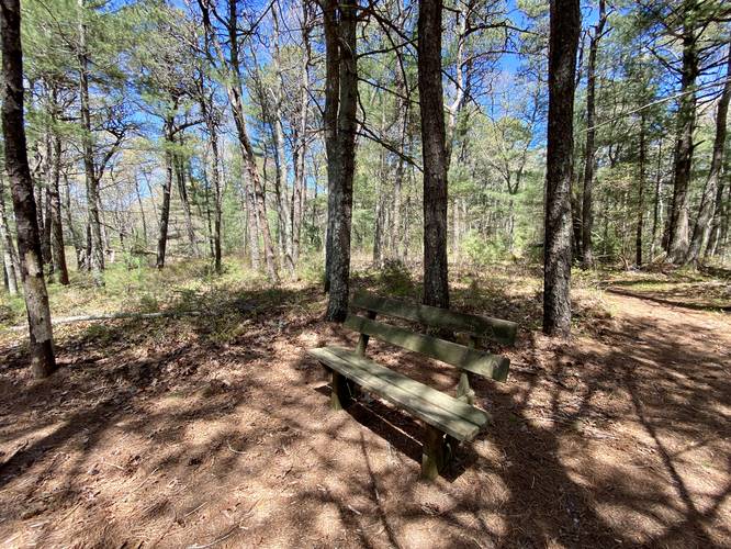
This hike begins at the western-most trailhead at Monks Park, located at the southwest corner of the parking lot, and heads up the small hill and then south along the trail.
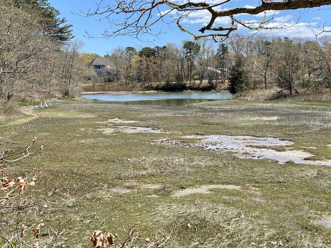
Marsh View - Mile 0.1
At mile 0.1 hikers will reach a nice view of the marshlands with some houses in the background.
After passing the view, hikers will continue the loop as it encompasses the park - keep left at each trail junction to stay on the loop. Eventually it will circle back to the main parking lot where you began the hike.
To extend your hike, you can also check out the Little Bay Loop Trail.
Parking
Hikers will find a very large parking lot at the coordinates provided on either side of Valley Bars Road.
Pets
Dogs are allowed only if leashed and must be cleaned up after.
Hike Description
This hike begins at the western-most trailhead at Monks Park, located at the southwest corner of the parking lot, and heads up the small hill and then south along the trail.
Marsh View - Mile 0.1
At mile 0.1 hikers will reach a nice view of the marshlands with some houses in the background.
After passing the view, hikers will continue the loop as it encompasses the park - keep left at each trail junction to stay on the loop. Eventually it will circle back to the main parking lot where you began the hike.
To extend your hike, you can also check out the Little Bay Loop Trail.
Parking
Hikers will find a very large parking lot at the coordinates provided on either side of Valley Bars Road.
Pets
Dogs are allowed only if leashed and must be cleaned up after.