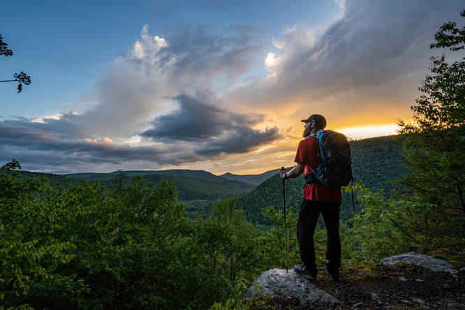
2.8 mi Moderate Loop Add to Trailmix: Log in to create a Trailmix What are Trailmixes? Angel Falls Loop Muncy Valley, Pennsylvania 5.0
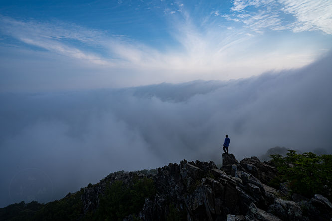
1.5 mi Easy Loop Add to Trailmix: Log in to create a Trailmix What are Trailmixes? Stony Man Trail Luray, Virginia 5.0
4.0 mi Hard Out-and-Back Add to Trailmix: Log in to create a Trailmix What are Trailmixes? Smiths Knob Hike Barbours, Pennsylvania 0
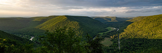
18.4 mi Moderate Loop Add to Trailmix: Log in to create a Trailmix What are Trailmixes? Quehanna Wild Area - 10 Trail Loop Pottersdale, Pennsylvania 0
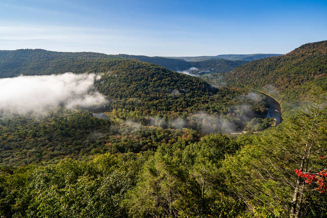
1.4 mi Moderate Out-and-Back Add to Trailmix: Log in to create a Trailmix What are Trailmixes? Sandy Bottom Vista Hillsgrove, Pennsylvania 0
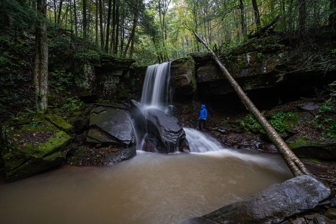
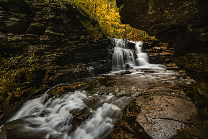
2.6 mi Moderate Out-and-Back Add to Trailmix: Log in to create a Trailmix What are Trailmixes? Hike to Emerald Falls Forksville, Pennsylvania 0
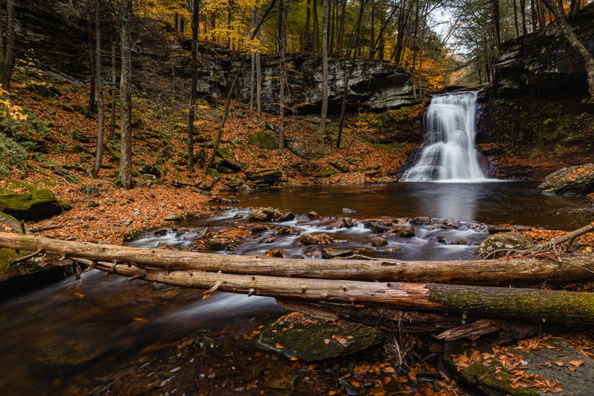
3.7 mi Moderate Loop Add to Trailmix: Log in to create a Trailmix What are Trailmixes? Double Run to Canyon Vista Loop Forksville, Pennsylvania 0
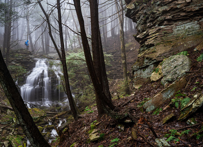
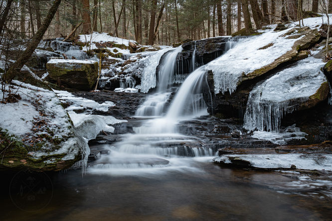
1.3 mi Easy Out-and-Back Add to Trailmix: Log in to create a Trailmix What are Trailmixes? Hike to Tamarack Falls Forksville, Pennsylvania 0
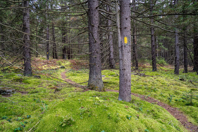
2.1 mi Hard Loop Add to Trailmix: Log in to create a Trailmix What are Trailmixes? Rough Hill Trail Barbours, Pennsylvania 0
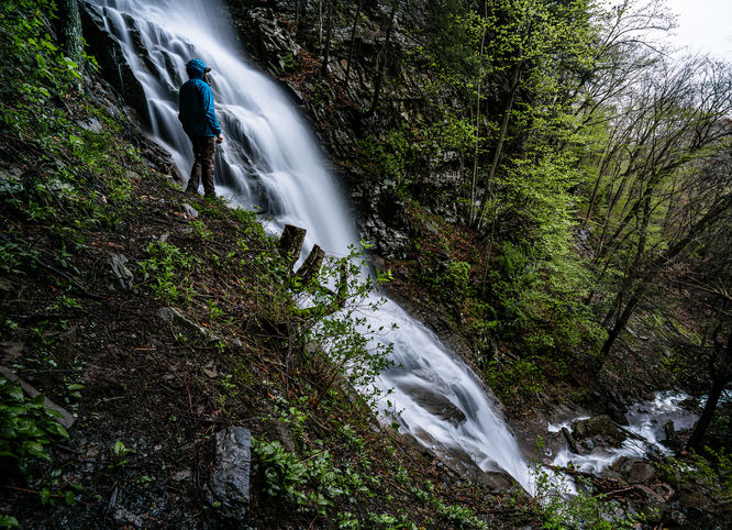
2.7 mi Hard Out-and-Back Add to Trailmix: Log in to create a Trailmix What are Trailmixes? Pigeon Run & Atticus Falls Jamison City, Pennsylvania 5.0
0.2 mi Easy Out-and-Back Add to Trailmix: Log in to create a Trailmix What are Trailmixes? Sullivan Falls Benton, Pennsylvania 0
1.8 mi Easy Out-and-Back Add to Trailmix: Log in to create a Trailmix What are Trailmixes? Hike to Right Angle and Ketchum Run Falls Forksville, Pennsylvania 0