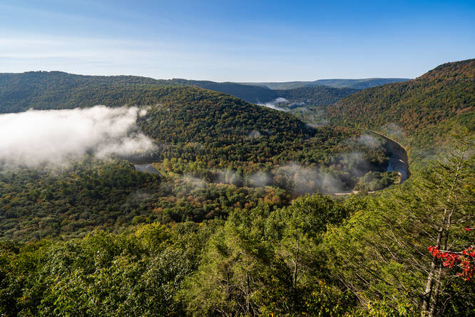
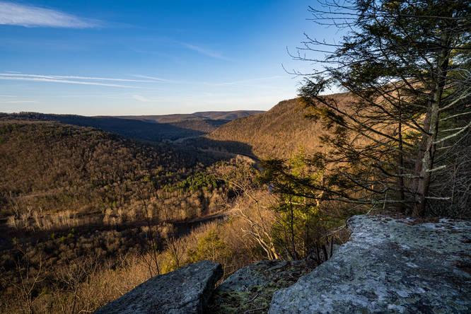
Sandy Bottom Vista at State Game Lands 134 near Hillsgrove, Pennsylvania is a moderate 1.4-mile off-trail out-and-back hike that leads to one of the best views I have seen of the Loyalsock Valley.
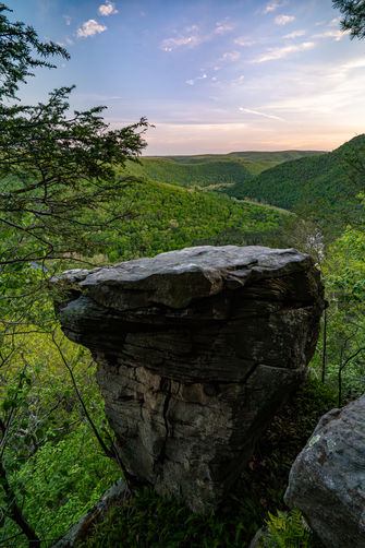
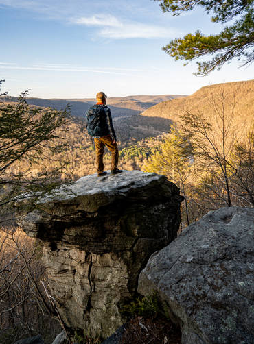
Hike: My most recent hike I did on a non hunting Sunday and parked beyond the gate near where I entered the forest. There is no trail and it is just finding the path of least resistance out to the vista. I explored around some, but found the easiest route was to maintain your elevation and hike out towards the vista until you are above it and then work your way down to the views. (41.409856,-76.749217) There are two nice views nest to each other, one has a pedestal rock that if you don't mind a big step, offers the best view once you are out on it.
Parking: There is a large parking area (41.420798,-76.751658) on the State Game Road that is accessed from Proctor Road near Barbours, PA and this is where you would park when the forest road beyond this is gated. (hike is approximately 1.8 out and back from this parking area). During hunting seasons when the gate is open there are multiple pull offs closer to where you leave the road and enter the forest.
Warnings
Off-trail navigation: This hike requires off-trail navigation and some bushwhacking.
Timber Rattlesnakes: This area is home to the Timber Rattlesnake which can be found roaming the forest between the end of April to early October each year. Be mindful and give any rattlers you find plenty of space.