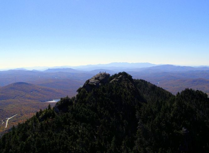
11.4 mi Strenuous Out-and-Back Add to Trailmix: Log in to create a Trailmix What are Trailmixes? Grandfather Mountain via Daniel Boone Trail Foscoe, North Carolina 5.0
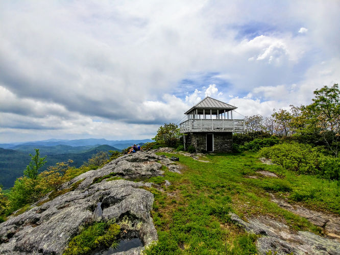
12.0 mi Strenuous Out-and-Back Add to Trailmix: Log in to create a Trailmix What are Trailmixes? Yellow Mountain Lookout Tower Hike Highlands, North Carolina 0
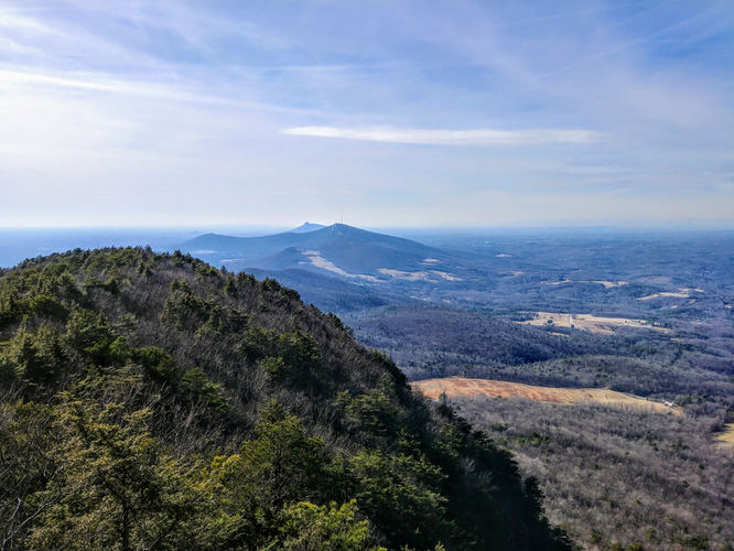
4.8 mi Moderate Loop Add to Trailmix: Log in to create a Trailmix What are Trailmixes? Moores Knob Hike Westfield, North Carolina 0
5.5 mi Moderate Out-and-Back Add to Trailmix: Log in to create a Trailmix What are Trailmixes? Stairway To Heaven Hike Orkney Springs, Virginia 3.71
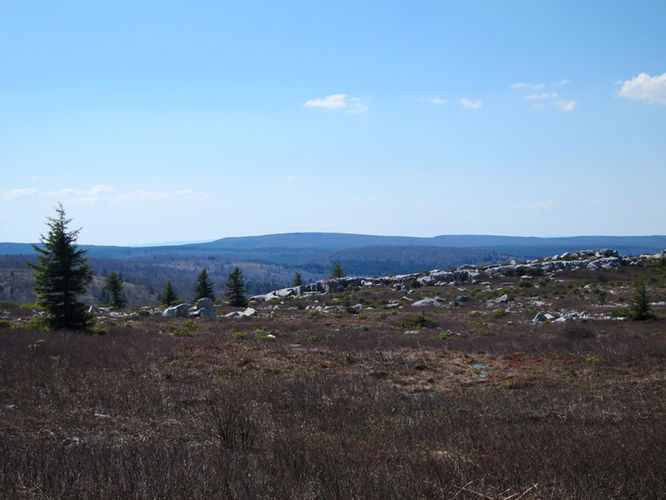
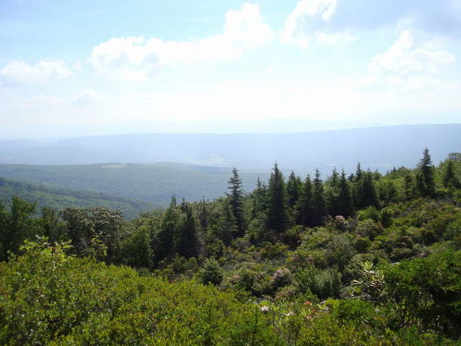
14.2 mi Moderate Loop Add to Trailmix: Log in to create a Trailmix What are Trailmixes? Blackbird Knob Hike Dolly Sods Wilderness, West Virginia 4.0
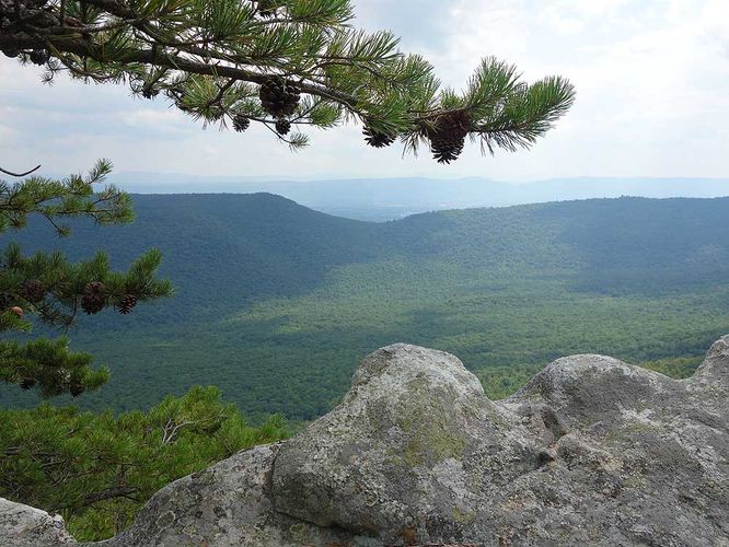
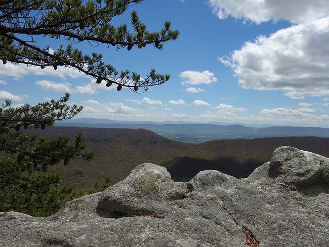
8.8 mi Hard Loop Add to Trailmix: Log in to create a Trailmix What are Trailmixes? White Rock Cliff Hike Wardensville, West Virginia 3.93
10.0 mi Moderate Loop Add to Trailmix: Log in to create a Trailmix What are Trailmixes? Forks of Red Creek Hike Dolly Sods Wilderness, West Virginia 4.0
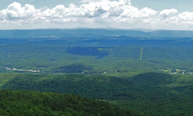
12.2 mi Hard Out-and-Back Add to Trailmix: Log in to create a Trailmix What are Trailmixes? Hemphill Bald Cherokee, North Carolina 0
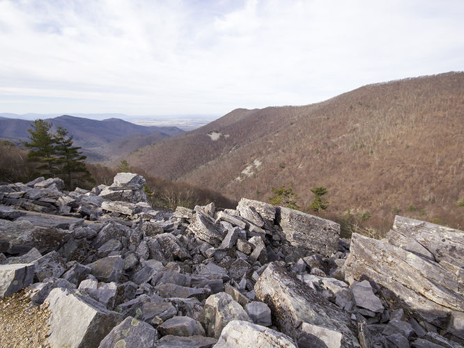
9.2 mi Hard Loop Add to Trailmix: Log in to create a Trailmix What are Trailmixes? Trayfoot Mountain and Paine Run Hike Crozet, Virginia 3.45
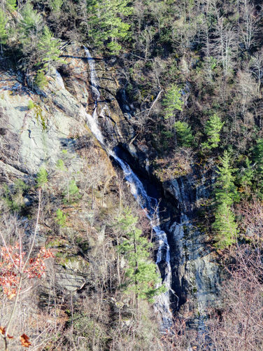
4.6 mi Moderate Loop Add to Trailmix: Log in to create a Trailmix What are Trailmixes? Bent Mountain Falls Hike Bent Mountain, Virginia 4.0
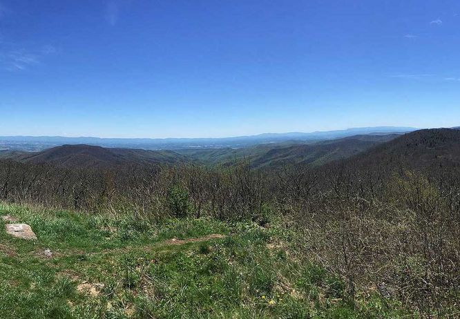
17.3 mi Strenuous Out-and-Back Add to Trailmix: Log in to create a Trailmix What are Trailmixes? Reddish Knob Hike Bridgewater, Virginia 2.5
6.5 mi Hard Loop Add to Trailmix: Log in to create a Trailmix What are Trailmixes? Sulphur Springs Gap and White Rock Cliff Hike Maurertown, Virginia 3.75