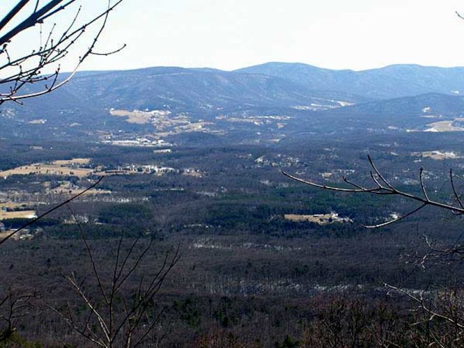
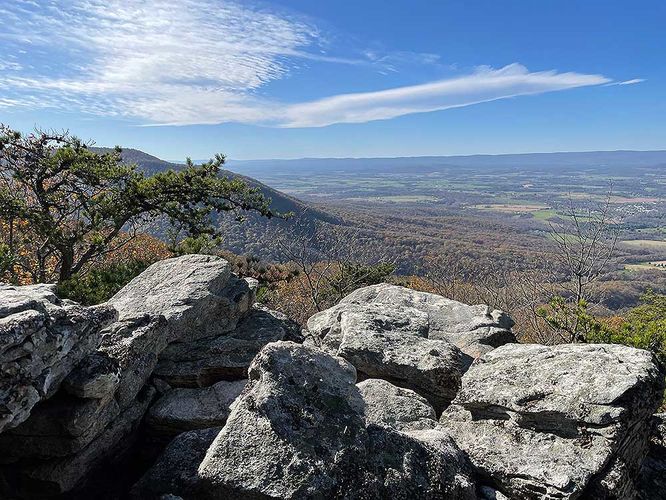
8.0 mi Moderate Loop Add to Trailmix: Log in to create a Trailmix What are Trailmixes? Shawl Gap Hike Front Royal, Virginia 3.12
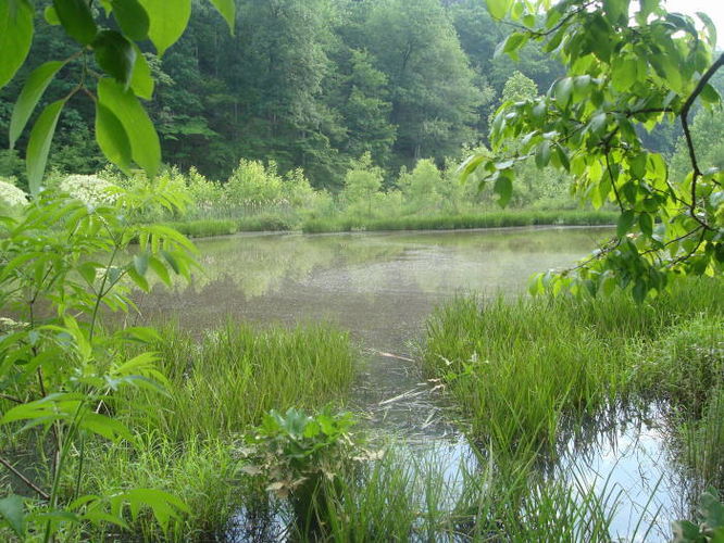
4.3 mi Easy Loop Add to Trailmix: Log in to create a Trailmix What are Trailmixes? Ivy Creek Hike Charlottesville, Virginia 0
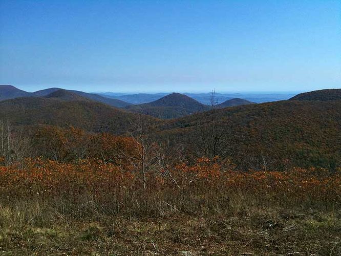
14.5 mi Strenuous Out-and-Back Add to Trailmix: Log in to create a Trailmix What are Trailmixes? Tar Jacket Ridge Hike Vesuvius, Virginia 4.0
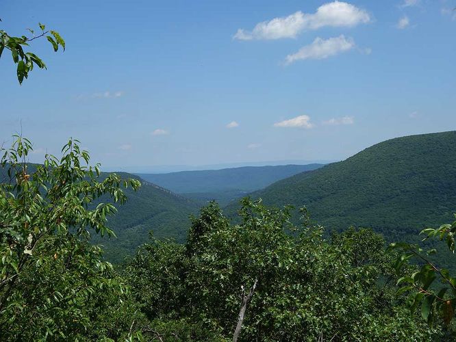
8.2 mi Hard Out-and-Back Add to Trailmix: Log in to create a Trailmix What are Trailmixes? Tri-County Hike Wardensville, West Virginia 4.0
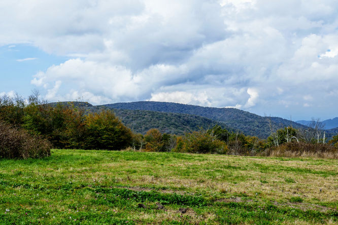
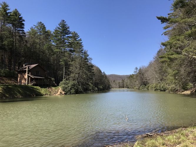
4.8 mi Moderate Out-and-Back Add to Trailmix: Log in to create a Trailmix What are Trailmixes? Bill Kruszka Overlook Hike Edinburg, Virginia 4.0
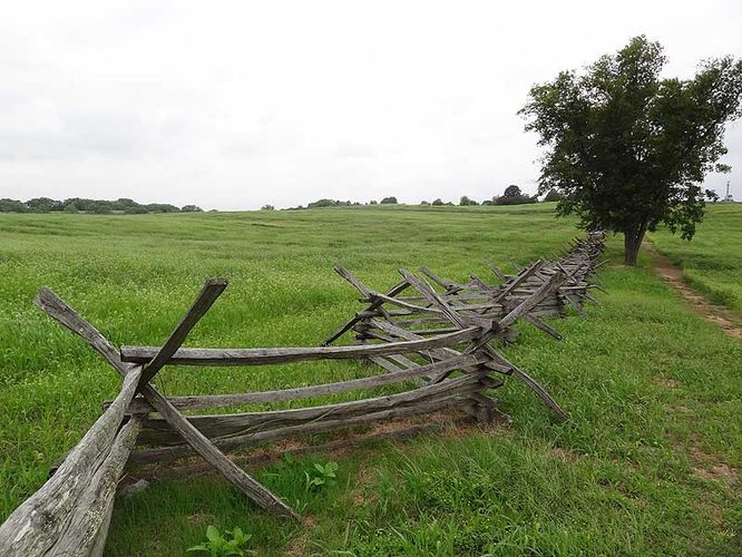
4.0 mi Easy Loop Add to Trailmix: Log in to create a Trailmix What are Trailmixes? Antietam Bloody Lane Hike Sharpsburg, Maryland 3.5
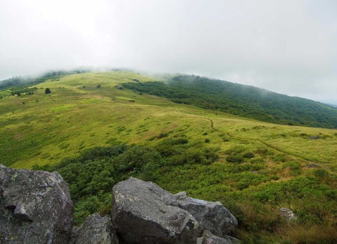
1.2 mi Easy Out-and-Back Add to Trailmix: Log in to create a Trailmix What are Trailmixes? Hooper Bald Hike Lake Santeetlah, North Carolina 4.0
14.2 mi Moderate Out-and-Back Add to Trailmix: Log in to create a Trailmix What are Trailmixes? Shenandoah Mtn and Lynn Spring Hike West Augusta, Virginia 0
6.8 mi Moderate Out-and-Back Add to Trailmix: Log in to create a Trailmix What are Trailmixes? Elk Garden to Buzzard Rock Hike Azen, Virginia 5.0
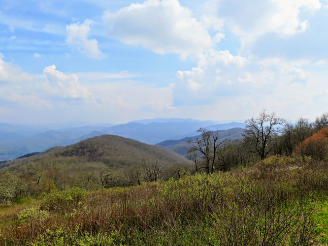
9.0 mi Strenuous Out-and-Back Add to Trailmix: Log in to create a Trailmix What are Trailmixes? Cheoah Bald Hike Bryson City, North Carolina 4.0
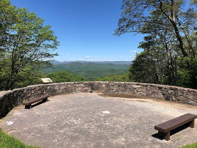
3.9 mi Moderate Loop Add to Trailmix: Log in to create a Trailmix What are Trailmixes? Thorny Mountain Lookout Tower Hike Dunmore, West Virginia 0
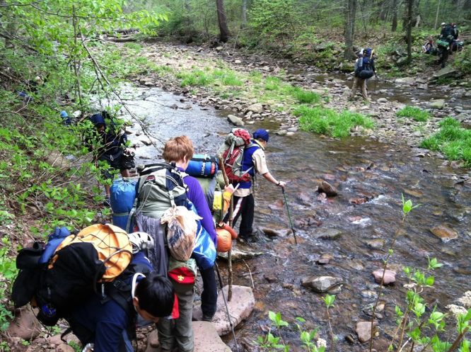
7.8 mi Moderate Loop Add to Trailmix: Log in to create a Trailmix What are Trailmixes? Jerrys Run Hike West Augusta, Virginia 3.25